Southern Trail Towns You Can Reach Without Renting a Car
A practical guide to Southern Trail Towns You Can Reach Without Renting a Car.

A Different Kind of Southern Road Trip
For many hikers, the idea of a Southern trail town conjures images of a dusty parking lot at a remote trailhead, a car loaded with gear, and a long drive home. But a handful of towns across the region flip that assumption entirely. They sit at the rare intersection where long-distance trails meet scheduled passenger rail, making it possible to step off a train and onto a footpath without ever picking up a set of keys. These places reward a slower approach, one where the journey begins the moment you leave the station.
The towns below share a common thread. Each has a verified, direct connection between an Amtrak-served platform and a significant trail network. Some are historic gateways to iconic long-distance routes. Others are lesser-known rail-trail hubs that let you ride or walk for miles through pine forests and small-town main streets. None of them require a rental car, a rideshare, or a shuttle van booked weeks in advance. What they do require is a willingness to plan around train schedules and to accept that the reward is not just the trail itself but the unhurried transition from railcar to footpath.
Harpers Ferry, West Virginia
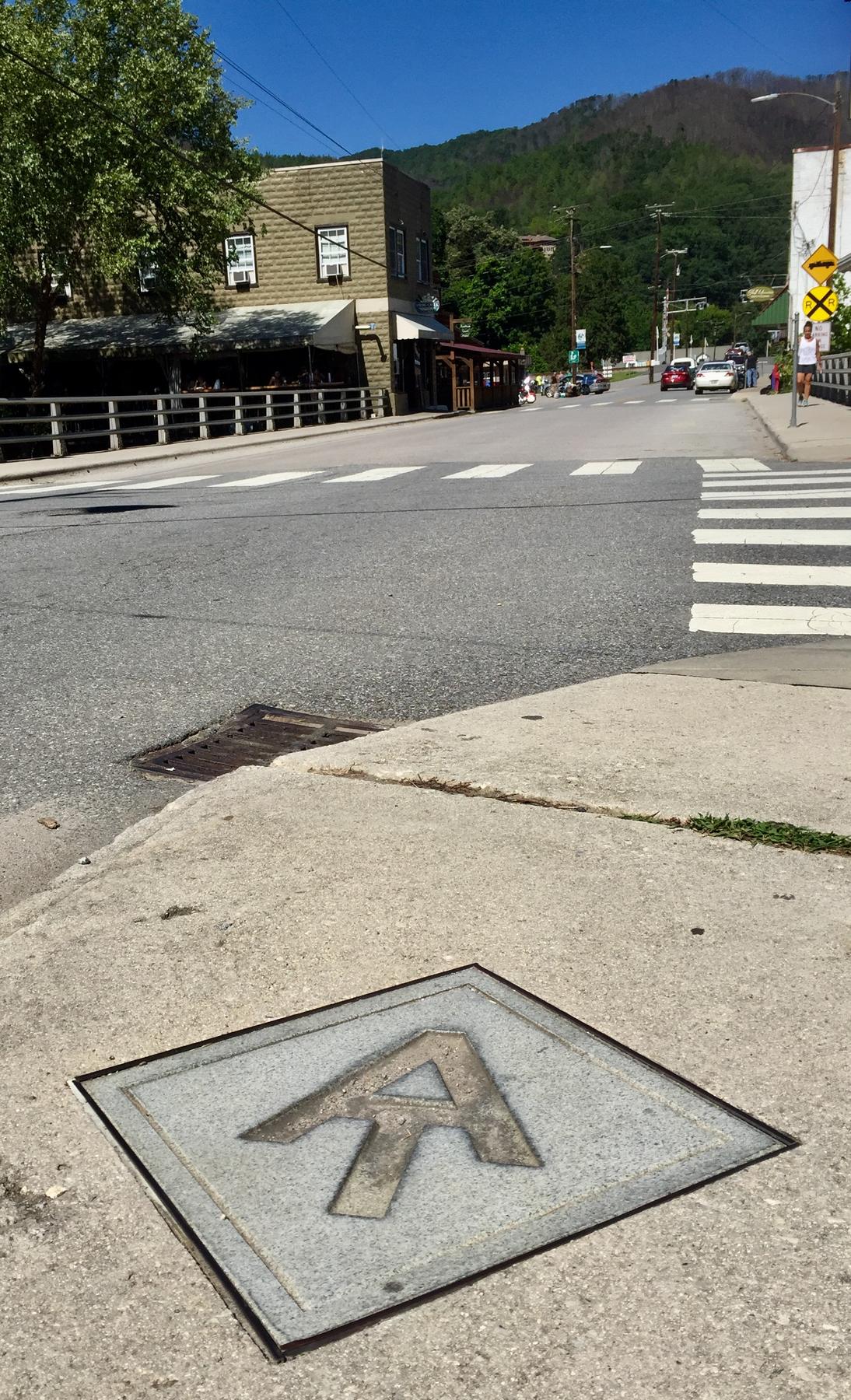
Harpers Ferry holds a singular distinction on the Appalachian Trail. According to the National Park Service, the AT has direct train access at only two locations along its entire length, and Harpers Ferry is one of them. Amtrak provides daily service from Washington, D.C. Union Station, with westbound trains continuing toward Chicago. The station platform sits inside the historic Lower Town, a detail that changes the entire arrival experience. Passengers step off the train directly into a national historical park rather than onto an isolated platform that requires a connecting ride.
The Goodloe Byron Memorial Footbridge carries the Appalachian Trail over the Potomac River here, with a spiral staircase descending to the Chesapeake and Ohio Canal towpath on the Maryland bank. This means a hiker can arrive by rail, walk through a 19th-century streetscape, cross a river on foot, and connect to two major trail systems in a single afternoon. The National Park Service operates a shuttle bus between the Harpers Ferry Visitor Center and Lower Town, with buses equipped with ramps or lifts for wheelchair and mobility-device users. It is worth noting that the train station platform itself is not step-free, a factor that matters for visitors with mobility considerations.
Before building a trip around Harpers Ferry, there are several details you must verify directly with the responsible authorities. The Goodloe Byron Memorial Footbridge has been subject to closures for stairway improvements, and you should check its current status through the National Park Service before traveling. Amtrak and MARC train schedules and fares change over time, and the exact name of the Washington-to-Chicago long-distance service should be confirmed against the current Amtrak timetable. The park shuttle bus operates on seasonal hours, with the last departure from Lower Town varying between winter and summer schedules. Confirm the current operating hours through the National Park Service visitor information for Harpers Ferry National Historical Park.
Anniston, Alabama, and the Chief Ladiga Trail
Alabama's first extended rails-to-trails project begins in Anniston, a city whose Multimodal Amtrak Station creates one of the most seamless train-to-trail connections in the South. The Chief Ladiga Trail links Anniston, Weaver, Jacksonville, and Piedmont across Calhoun and Cleburne Counties, and the trail connects directly to the station itself. There is no gap to bridge, no busy road to cross, and no need to consult a local bus map. You arrive, you disembark, and the paved path begins.
What makes this trail particularly compelling is its connection at the Alabama-Georgia state line to Georgia's Silver Comet Trail. Together they form a combined paved pedestrian pathway of roughly 105 miles. A cyclist or long-distance walker could theoretically ride from an Amtrak platform in Anniston all the way into Georgia on a continuous off-road route. This is not a fragmented network of disconnected segments but a single, unified corridor built on a former rail bed.
If you plan to bring a bicycle on the train, you must check Amtrak's bicycle policies for your specific route before traveling. Policies vary by route, and some trains require advance reservations for bike spaces. Confirm the current requirements through Amtrak's official bicycle information page and do not assume that a bike can be carried on any service without prior arrangement.
Greenville County, South Carolina
The Prisma Health Swamp Rabbit Trail is a 32-mile-and-growing network running through Fountain Inn, Greenville, and Travelers Rest. While the trail does not have a platform that sits directly on the path in the manner of Harpers Ferry or Anniston, Greenville's Amtrak station places the city within reach of a car-free trip. The trail's continuous paved surface and its route through multiple walkable downtowns make it practical to combine a train arrival with a multi-day exploration on foot or by bike.
Travelers Rest, at the northern end of the trail, has developed a reputation as a trail town that caters specifically to people arriving under their own power. The corridor passes through shaded woodlands, crosses the Reedy River, and connects commercial districts where you can stop for a meal without leaving the trail corridor. Because the network continues to grow, the experience today may differ from what a guidebook published even two years ago describes. Check the current trail map and any segment closures through Greenville County Parks, Recreation and Tourism before setting an itinerary.
Durham, North Carolina
The American Tobacco Trail runs for 22 miles through a landscape shaped by rail history, and its Amtrak-served station in Durham reinforces that connection. Durham Station is housed in a former American Tobacco Company warehouse, a detail that ties the journey to the very industry whose rail corridors now serve recreation. The trail itself follows the former New Hope Valley Railway corridor, passing through urban neighborhoods, suburban greenways, and rural woodlands south of the city.
Durham's station sits on Amtrak's Carolinian and Piedmont routes, which connect the city to Charlotte, Raleigh, and points north. From the station, reaching the trail requires a short connection through the city, but the downtown's compact layout and the presence of local transit options make this manageable without a private vehicle. As with any trip that depends on a connecting segment between station and trailhead, map out that link in advance and confirm that the route is pedestrian-friendly and open at the time of your visit.
Hattiesburg, Mississippi
The Longleaf Trace is a 44-mile rail-trail that begins less than a mile from the J. Ed Morgan Intermodal Facility in Hattiesburg, which is served by Amtrak's Crescent route. That short distance between station and trailhead puts Hattiesburg in the same practical category as Anniston: you can walk from the platform to the path without needing a secondary form of transportation. The trail runs west from Hattiesburg through small towns and long stretches of pine forest, following the former Mississippi Central Railroad corridor.
The Longleaf Trace is named for the longleaf pine ecosystem that once dominated the region, and the trail passes through pockets of that habitat. The surface is paved, making it suitable for road bikes, hybrid bikes, and foot travel. Because the Crescent is a long-distance route with less frequent service than a regional corridor, your arrival and departure windows will be narrower. Build your itinerary around the train schedule rather than trying to fit the train into a predetermined hiking plan. Confirm current Crescent schedules and station stop times directly through Amtrak before booking any lodging or committing to a daily mileage.
Planning a Car-Free Trail Trip
Traveling to a trail town by train rewards a different kind of preparation than a road trip. You are trading flexibility for a more deliberate rhythm, and that tradeoff works best when you treat the train schedule as the backbone of your plan rather than an inconvenience to work around. Start by choosing your trail and working backward to the nearest Amtrak station. If the station is not directly on the trail, measure the connecting distance on a map and confirm that the route is walkable or served by local transit that does not require advance booking.
Pack with the understanding that you will carry everything you bring from the station to the trailhead and onward. A rolling suitcase is a liability on a rail-trail. A backpack or pannier system that works for both the train carriage and the trail surface is a better choice. If you are bringing a bicycle, check Amtrak's bicycle policy for your specific route well ahead of your travel date. Some trains have limited bike racks and require reservations. Others accept bikes only at certain stations. The policy is not uniform across the Amtrak network, and the information that matters is the current policy for your exact train number and boarding station.
Finally, accept that infrastructure changes. Bridges close for repair. Shuttle schedules shift with the seasons. Train timetables are revised. The towns described here have the permanent physical assets that make a car-free trip possible, but the operating details that determine whether a specific weekend works are mutable. Before you book anything, check the current conditions with the National Park Service for Harpers Ferry, with Greenville County Parks for the Swamp Rabbit Trail, with the City of Anniston for the Chief Ladiga Trail, and with Amtrak for every rail segment you plan to ride. A phone call or an official website visit a few days before departure is not cautious overplanning. It is the difference between a trip built on durable geography and one undone by a temporary closure you could have discovered in advance.
Sources and verification
- nps.gov — Research source checked for this guide
- harpersferryattractions.com — Research source checked for this guide
- nps.gov — Research source checked for this guide
- greenvillerec.com — Research source checked for this guide
- annistonal.gov — Research source checked for this guide
- railstotrails.org — Research source checked for this guide
Read next
-
 Where to Stay in the Southern Appalachians, From Backcountry Shelters to Roadside Motels
A guide to Southern Appalachian lodging: vintage Parkway motor courts, trail-town motels, cabin clusters, and backcountry shelters, with price bands and booking lead times.
-
 Southern Appalachians Trail Towns Where to Base Yourself and When to Camp Instead
Match your Southern Appalachians trip to the right trail town—compare Bryson City, Brevard, Hot Springs, Dahlonega, and more by activity, lodging type, and peak-season availability.
-
 Flying Into the Southern Appalachians, Airport by Airport
Compare AVL, TYS, and CLT airports for the Southern Appalachians: drive times, rental-car costs, and why a personal vehicle is non-negotiable.
-
 Best Time to Visit the Southern Appalachians for Trails and Quiet
Season-by-season timing for the Southern Appalachians, including mud-season trail closures, October leaf-peeper gridlock, and June rhododendron blooms.
-
 Getting Around the Southern Appalachians Without a Transit System
How to get around the Southern Appalachians when there is no transit, cell service drops, and GPS routes you onto impassable roads.
-
 Your First Week in the Southern Appalachians Built Around Weather Not a List
-
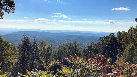 Blue Ridge and Pisgah
The Asheville and Pisgah side of the Southern Appalachians along the Blue Ridge Parkway, with waterfall loops, craft breweries, and Mount Mitchell.
-
 Great Smoky Mountains
A Great Smoky Mountains guide focused on quiet gateways like Bryson City and Townsend, dawn wildlife viewing at Cades Cove, and avoiding Gatlinburg crowds.
-
 North Georgia
's quiet end of the Southern Appalachians, from Springer Mountain's AT start to Dahlonega's wine trail and Tallulah Gorge's permitted floor.