A Road-and-Trail Guide to the Southern Appalachians
A candid guide to the Southern Appalachians for hikers, motorcyclists, and road-trippers who want serious elevation, deep quiet, and small-town main streets.
- Flag
-

- ISO code
- US
- Currency
- USD
- Timezone
- America/New_York
The Southern Appalachians is Not a Relaxation Destination
This region punishes anyone chasing luxury, nightlife, or a tight schedule. It rewards stamina, patience, and a willingness to earn every view. The terrain is physically demanding. A short hike can mean 1,000 feet of elevation gain. Weather flips from sun to sideways rain in twenty minutes. Cell service vanishes in the backcountry. Winding roads turn a 40-mile drive into an hour and a half of white-knuckle switchbacks. If that sounds like your kind of trip, read on. If you want room service, you want somewhere else.
- Best For: Hikers and backpackers who want serious elevation; motorcyclists and sports-car drivers chasing technical roads; folk-craft and traditional-music pilgrims; leaf-peepers willing to earn their views; small-town main-street wanderers who dislike resort scenes.
- Not For: People seeking luxury spas, fine dining, or nightlife; anyone with mobility limitations who cannot handle steep, uneven terrain.
- Minimum Days: 5. Any less and you spend all your time in the car connecting dots without feeling the rhythm of the place.
- Peak Season: October (leaf-peeping, especially the second and third weeks) and July (school holidays, high-elevation wildflower blooms). October weekends bring the worst crowding on the Blue Ridge Parkway and in entry towns like Boone and Gatlinburg.
- Avoid Window: Mid-March through early April; the week of July 4 if you want solitude.
- Key Arrival Airport: Asheville Regional (AVL): 25 minutes to downtown Asheville, rental cars from $50/day. McGhee Tyson (TYS) near Knoxville: 45 minutes to Townsend or the Smokies, rental cars from $45/day. You must rent a car.
What You Need to Know Before You Go
Rent a car. Rideshare is unreliable once you leave Asheville city limits. Charlotte Douglas (CLT) is 2.5 hours from Boone and Blowing Rock via US-321, with rentals from $40/day, but that added drive time eats into your trip. Book the car the moment you book your flights.
The Blue Ridge Parkway is the spine of this region, but it closes without warning for ice, fog, or rock slides. Check the NPS real-time road-closure map each morning. Carry a paper DeLorme Gazetteer. Many GPS apps route you onto unpaved Forest Service roads that are impassable in a sedan. Set your navigation to paved roads only.
Cell service is absent in most valleys and coves below 3,000 feet, and intermittent on ridges. Verizon and AT&T have the least-bad coverage. T-Mobile is nearly useless outside town limits. Download offline Google Maps and AllTrails layers before you leave Wi-Fi. Gas stations are 40-plus miles apart on the Parkway and between small towns. Fill up at half a tank.
Dry Counties and Blue Laws
This is a wet-county patchwork. Some counties are fully dry. Others prohibit Sunday alcohol sales before noon. The craft brewery you drove to may only sell beer to-go in a different county line. Check the laws of each county before you plan an evening around a drink.
Water Sources and Trail Surfaces
Streams and springs are abundant above 3,000 feet, but seasonal drying occurs below 2,000 feet in late summer. Filter or chemically treat all backcountry water because of Giardia and Cryptosporidium. Trail surfaces are natural soil with exposed roots and rocks. No graded gravel except on rail-trails. Bring hiking shoes with good ankle support.
.jpg)
The Three Districts That Define Your Trip
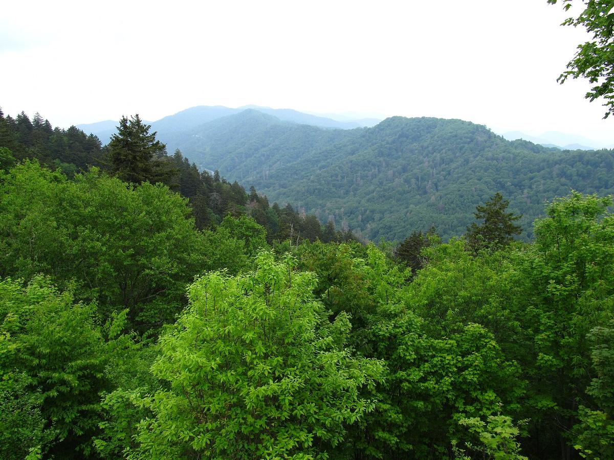
The Southern Appalachians break into three distinct districts. Each suits a different style of trip. Route yourself to one and use the others for day trips.
Asheville
Asheville is the beer city with an artsy downtown and a housing crisis. It has the best restaurants and the only nightlife worth mentioning. But it is a city, not a mountain escape. Use it as a base if you need consistent Wi-Fi and evening options. This is where you find the Biltmore Estate, which requires advance booking and costs from $75 per person.
High Country
The Boone to Blowing Rock corridor delivers polished mountain chic, boutique shopping, and pricey inns. Boone has college-town energy with Appalachian State students and cheaper eats. Blowing Rock is the polished option. This is the district for leaf-peeping in October, but book lodgings a year ahead for peak weekends.
Smokies Gateways
Towns like Bryson City and Townsend offer Smokies access without Gatlinburg's neon chaos. Bryson City is quiet and practical. Townsend is the peaceful side of the Smokies, with tubing and Cades Cove. Hot Springs is an Appalachian Trail town with hot mineral baths and hiker culture. These are the best bases for serious hiking in the Great Smoky Mountains National Park, where the trail network runs 850 miles.
| District | Best For | Base Day | Nightlife |
|---|---|---|---|
| Asheville | Beer, arts, dining, consistent Wi-Fi | 5+ days | Moderate, ends by midnight |
| High Country (Boone/Blowing Rock) | Leaf-peeping, boutique shopping, college energy | 5+ days | Low, bars close by 11pm |
| Smokies Gateways (Bryson City/Townsend) | Serious hiking, Smokies access, quiet | 5+ days | Very low, dinner ends by 8:30pm |
Landmarks Worth the Effort and the One You Should Skip
Mount Mitchell is the highest peak east of the Mississippi at 6,684 feet, but it is often socked in cloud. Go on a clear morning or skip it. Clingmans Dome is the highest point in the Smokies at 6,643 feet, with a steep paved ramp, but cloud covers it roughly 210 days a year. Check the webcam before you drive.
Grandfather Mountain has a mile-high swinging bridge. You need advance booking for peak fall weekends. Linville Gorge is the Grand Canyon of the East, but backcountry permits are required for overnight stays. Craggy Gardens has rhododendron tunnels in June via a twenty-minute walk. Max Patch is a bald summit with 360-degree views crossed by the Appalachian Trail.
Skip Cades Cove on weekends unless you arrive at dawn. The 11-mile wildlife loop becomes gridlock by 9am. Go on a weekday. Sliding Rock is a natural water slide charging $5 per person with frigid water. It is fun for a short stop. Do not build a day around it.
Rhododendron Bloom Windows
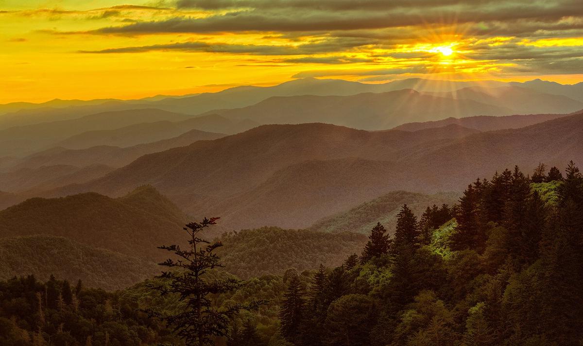
The Catawba rhododendron blooms above 3,500 feet on balds and ridges from mid-June to early July. The great laurel forms impenetrable walls 10 to 30 feet high off-trail. Peak fall leaf color hits mid-October at highest elevations and late October to early November in valleys. Plan your trip around these windows or accept green.
Day Trips from Your Base
From Bryson City or Townsend, trailheads in the Great Smoky Mountains National Park are 15 to 30 minutes by car. From Boone or Blowing Rock, the Roan Mountain Highlands are one hour away. From Brevard or Asheville, the Brevard waterfall loop takes 30 to 45 minutes to reach Looking Glass, Moore Cove, and Triple Falls. The Dahlonega wine trail has five to eight tasting rooms within twenty minutes, but appoint a designated driver because the roads are curvy.

Who Should Come and Who Should Go Somewhere Else
Come here if you are a hiker who wants serious elevation gain on trails that are steeper per mile than anything in the western ranges because they follow fall lines without switchbacks. Come if you are a motorcyclist or sports-car driver chasing technical roads through 40 peaks over 6,000 feet. Come if you are a folk-craft pilgrim or traditional-music fan who wants Friday-night bluegrass in Floyd at the country store. Come if you are a leaf-peeper willing to earn your views on trails that climb 1,500 to 4,000 feet in a single day.
Do not come if you want luxury spas, fine dining, or nightlife. Dinner ends by 8:30 p.m. and the hot tub is a motel indoor pool. Do not come if you have mobility limitations that prevent handling steep, uneven terrain. Do not come if you need consistent cell service or a reliable GPS. Do not come if you plan to cover everything in three days. You will spend those days stressed in a car, not in the mountains.
The Southern Appalachians demand something from you. In return, they give you mist-on-ridgeline beauty, deep quiet, and the feeling of having earned every single view.
Places in the Southern Appalachians
-
 Blue Ridge and Pisgah
The Asheville and Pisgah side of the Southern Appalachians along the Blue Ridge Parkway, with waterfall loops, craft breweries, and Mount Mitchell.
Blue Ridge and Pisgah
The Asheville and Pisgah side of the Southern Appalachians along the Blue Ridge Parkway, with waterfall loops, craft breweries, and Mount Mitchell.
-
 Great Smoky Mountains
A Great Smoky Mountains guide focused on quiet gateways like Bryson City and Townsend, dawn wildlife viewing at Cades Cove, and avoiding Gatlinburg crowds.
Great Smoky Mountains
A Great Smoky Mountains guide focused on quiet gateways like Bryson City and Townsend, dawn wildlife viewing at Cades Cove, and avoiding Gatlinburg crowds.
-
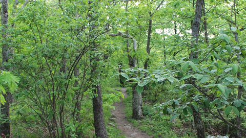 North Georgia
's quiet end of the Southern Appalachians, from Springer Mountain's AT start to Dahlonega's wine trail and Tallulah Gorge's permitted floor.
North Georgia
North Georgia's quiet end of the Southern Appalachians, from Springer Mountain's AT start to Dahlonega's wine trail and Tallulah Gorge's permitted floor.
Common Questions
How many days do I need for a Southern Appalachians trip?
A minimum of 5 days. Less than that and you spend all your time in the car connecting dots without ever feeling the rhythm of the place.
Is the Southern Appalachians suitable for someone with mobility limitations?
No. Even scenic overlooks often require stairs and ungraded paths. The terrain is steep and uneven. This region is a poor fit for anyone who cannot handle that.
What is the best airport to fly into?
Asheville Regional (AVL) is 25 minutes to downtown Asheville with rentals from $50/day. McGhee Tyson (TYS) near Knoxville is 45 minutes to the Smokies western entrance with rentals from $45/day. Charlotte Douglas (CLT) is 2.5 hours from Boone but has rentals from $40/day.
Can I rely on cell service for navigation?
No. Cell service is absent in most valleys and coves below 3,000 feet and intermittent on ridges. Download offline Google Maps and AllTrails layers before you leave Wi-Fi.
When should I avoid visiting?
Mid-March through early April is mud season, with many trails closed to prevent erosion and weather oscillating between sleet and 45°F drizzle. Also avoid the week of July 4 if you want solitude.
What is the most common mistake visitors make?
Underestimating drive times. A 60-mile distance on two-lane mountain roads with switchbacks, pull-offs, and fog routinely takes 2 to 2.5 hours. Driving after dark is genuinely dangerous.
Is the Blue Ridge Parkway reliable for driving?
No. It closes for ice, fog, or rock slides without advance notice. Check the NPS real-time road-closure map each morning and always have a non-Parkway alternate route.
Read next
-
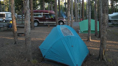 Where to Stay in the Southern Appalachians, From Backcountry Shelters to Roadside Motels
A guide to Southern Appalachian lodging: vintage Parkway motor courts, trail-town motels, cabin clusters, and backcountry shelters, with price bands and booking lead times.
Where to Stay in the Southern Appalachians, From Backcountry Shelters to Roadside Motels
A guide to Southern Appalachian lodging: vintage Parkway motor courts, trail-town motels, cabin clusters, and backcountry shelters, with price bands and booking lead times.
-
 Southern Appalachians Trail Towns Where to Base Yourself and When to Camp Instead
Match your Southern Appalachians trip to the right trail town—compare Bryson City, Brevard, Hot Springs, Dahlonega, and more by activity, lodging type, and peak-season availability.
Southern Appalachians Trail Towns Where to Base Yourself and When to Camp Instead
Match your Southern Appalachians trip to the right trail town—compare Bryson City, Brevard, Hot Springs, Dahlonega, and more by activity, lodging type, and peak-season availability.
-
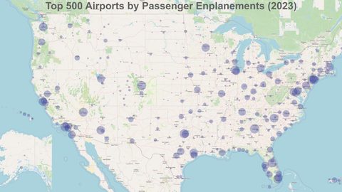 Flying Into the Southern Appalachians, Airport by Airport
Compare AVL, TYS, and CLT airports for the Southern Appalachians: drive times, rental-car costs, and why a personal vehicle is non-negotiable.
Flying Into the Southern Appalachians, Airport by Airport
Compare AVL, TYS, and CLT airports for the Southern Appalachians: drive times, rental-car costs, and why a personal vehicle is non-negotiable.
-
 Best Time to Visit the Southern Appalachians for Trails and Quiet
Season-by-season timing for the Southern Appalachians, including mud-season trail closures, October leaf-peeper gridlock, and June rhododendron blooms.
Best Time to Visit the Southern Appalachians for Trails and Quiet
Season-by-season timing for the Southern Appalachians, including mud-season trail closures, October leaf-peeper gridlock, and June rhododendron blooms.
-
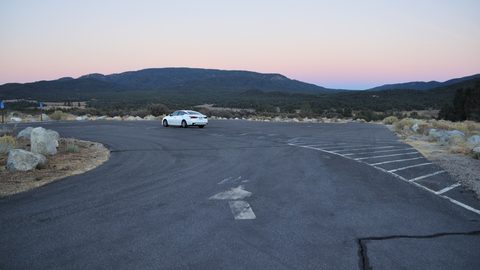 Getting Around the Southern Appalachians Without a Transit System
How to get around the Southern Appalachians when there is no transit, cell service drops, and GPS routes you onto impassable roads.
Getting Around the Southern Appalachians Without a Transit System
How to get around the Southern Appalachians when there is no transit, cell service drops, and GPS routes you onto impassable roads.
-
 Your First Week in the Southern Appalachians Built Around Weather Not a List
-
Blue Ridge and Pisgah
The Asheville and Pisgah side of the Southern Appalachians along the Blue Ridge Parkway, with waterfall loops, craft breweries, and Mount Mitchell.
-
Great Smoky Mountains
A Great Smoky Mountains guide focused on quiet gateways like Bryson City and Townsend, dawn wildlife viewing at Cades Cove, and avoiding Gatlinburg crowds.
-
North Georgia
North Georgia's quiet end of the Southern Appalachians, from Springer Mountain's AT start to Dahlonega's wine trail and Tallulah Gorge's permitted floor.