Great Smoky Mountains or Blue Ridge Parkway Choosing Your Southern Appalachians Base
Smokies or Blue Ridge for a one-week Southern Appalachians trip—how the two halves compare in crowds, terrain, towns, and daily logistics.

The One Number That Decides Your Week
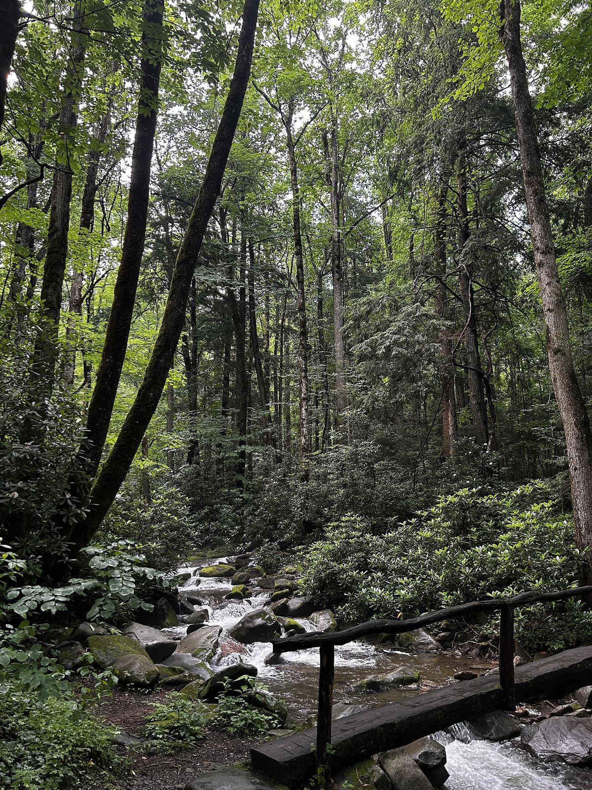
The Great Smoky Mountains National Park sees 12.1 to 14.1 million visitors a year. The Blue Ridge Parkway sees 15.7 to 16.8 million. Those numbers are almost identical until you factor in land area. The park squeezes that many people into half a million acres. The parkway stretches 469 linear miles with no single gate. Your experience of the Southern Appalachians comes down to how you want to be crowded: concentrated and intense on the Smokies side, or thinly stretched and intermittent along the Blue Ridge corridor. This is a personality match, not a quality contest. One week, two halves of the same mountain range, and a decision that dictates your daily rhythm.
| Axis | Great Smoky Mountains Side | Blue Ridge Parkway Corridor |
|---|---|---|
| Crowding Style | High density at Cades Cove, Newfound Gap, and Clingmans Dome; bear jams stop traffic for 30 minutes | Light density at most overlooks; severe congestion only in October and near Blowing Rock |
| Daily Drive Time | Townsend to Clingmans Dome: 45 minutes one way; 60 mile loop often takes 3+ hours | Little Switzerland to Mount Mitchell: 90 minutes for 40 miles of switchbacks |
| Lodging Base | Gatlinburg (chaos, family infrastructure) or Townsend (peaceful, limited dining) | Boone (college town, cheap eats) or Little Switzerland (quiet, old-school motor lodges) |
| Wildlife Encounters | Very high; Cades Cove dawn drives guarantee deer, turkeys, and bears | Moderate; elk at Cataloochee, bears in Linville Gorge but no road jams |
| Terrain Character | Broad valleys, dense old-growth, moderate elevation gains on most trails | Sharp elevation profiles, 1,000 ft gains on short hikes, granite domes and gorges |
| Entry Cost | Free; parking tag $5 daily or $15 weekly | Free; developed site fees $3 to $10 |
| Cell Service | None in backcountry; weak at visitor centers | Spotty on ridges; dead in coves; solid in Asheville and Boone |
What Crowding Actually Feels Like
On the Smokies side, you do not find solitude. You find a managed experience. Cades Cove on a July weekend is a parking lot with scenery. Rangers ticket drivers who stop in travel lanes to photograph bears, but enforcement is thin. The bear jam factor is real: one black bear on the roadside stops all cars for 30 minutes. Escape this. Enter through Townsend, the peaceful side, and hit the trailhead by 07:30. The Deep Creek area on the North Carolina side stays quieter, but even there, the 850 mile trail network funnels most hikers to the same 20 mile stretch.
The Blue Ridge corridor spreads the pressure. Drive 40 miles on the parkway and see 12 cars. Then hit the Grandfather Mountain entrance and find a queue for the mile high swinging bridge. The difference is distance. On the Smokies side, the crowding is radial, centered on Gatlinburg and Cherokee. On the parkway, it is linear, clustered around four towns: Asheville, Boone, Blowing Rock, and Little Switzerland. Leave those towns by 15 miles and you have road to yourself.
How Terrain Dictates Your Day
Both halves punish underestimation. A 60 mile distance on two lane mountain roads with 25 mph switchbacks, pull offs, and fog routinely takes 2 to 2.5 hours. After dark it is dangerous. The Smokies side gives you wider valleys and gentler grades. The hike to Clingmans Dome is a steep paved ramp, 0.5 miles, with a sharp elevation gain packed into that short distance. The reward is 6,643 feet, the highest point in the park. The drive from Townsend to that trailhead takes 45 minutes on a good day.
The Blue Ridge corridor is sharper. Little Switzerland to Mount Mitchell is 40 miles that takes 90 minutes of white knuckle switchbacks. Mount Mitchell stands at 6,684 feet, the highest peak east of the Mississippi, and it is often socked in. That 90 minute drive may deliver zero views. The Linville Gorge, called the Grand Canyon of the East, requires permits for overnight backcountry and the trails demand 1,000 foot elevation gains in under two miles. This side suits hikers who want to earn their view and drivers who chase technical roads.
Weather Windows and Road Closures
The parkway closes for ice and fog without warning. Check the NPS real time road closure map each morning. US 441 through the Smokies also closes with no advance notice. Always have an alternate route. In summer, afternoon thunderstorms hit both sides. Lower elevation trails stay accessible. On the Smokies side, Deep Creek and Abrams Falls work in light rain. On the parkway side, sheltered coves and lower elevation waterfall hikes near Brevard keep you dry. Fog eliminates views on the parkway entirely. No indoor attractions exist along most sections.
Worth it if
- Smokies side: highest wildlife density in the Eastern US, family friendly infrastructure, Cades Cove dawn drives, 100+ named waterfalls, zero entry fee, weekly parking tag costs $15
- Blue Ridge corridor: genuine solitude on most days, sharper terrain for serious hikers, technical roads for motorcyclists, towns like Little Switzerland and Floyd with zero tourist trap feel, dispersed camping without permits
Skip it if
- Smokies side: bear jam traffic is a daily inevitability in peak season, Gatlinburg chaos is either a pressure release or a nightmare, cell service is nonexistent in backcountry, dogs banned on all but 2 trails
- Blue Ridge corridor: parkway closes unpredictably for ice and fog, 40 mile gas station deserts, 90 minute drives for 40 mile distances, limited dining after 20:30 in small towns, fog can kill an entire day's views

Which Side Wins and Who Should Pick the Other
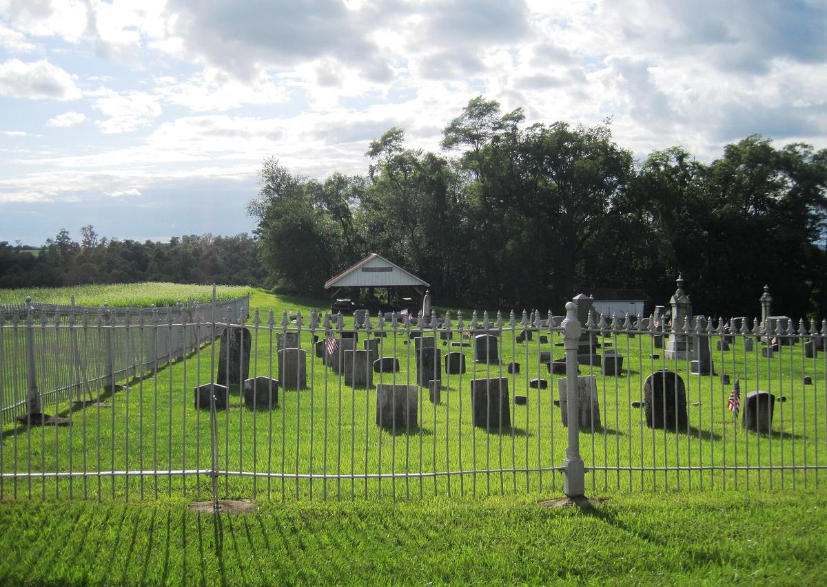
The Blue Ridge corridor wins for anyone who values solitude over convenience, elevation gain over scenic drives, and small towns over resort infrastructure. It wins for hikers, backpackers, motorcyclists, sports car drivers, folk music pilgrims, and anyone who finds Gatlinburg exhausting before they arrive. It wins for dog owners and for anyone who wants to camp without permits.
Pick the Smokies side if you travel with children who need bathrooms every hour and a trampoline park waiting at the finish line. Pick it if you want to see a bear without hiking 1,000 feet up. Pick it if you want to arrive at McGhee Tyson Airport, drive 45 minutes, and be on a trail by lunch. Pick it if you want the reassurance of visitor centers, shuttles, and well marked trails on a first visit. The Smokies side is not a bad choice. It is the wrong choice for anyone who came here to get away from people.
Common Questions
Which side has better access to waterfalls?
The Blue Ridge corridor, specifically Transylvania County near Brevard, claims over 250 named waterfalls. The Smokies side has 100+ but they are concentrated on the North Carolina side in Deep Creek and Big Creek areas. If waterfall density is your priority, base yourself in Brevard and drive the 30 to 45 minute loop to Looking Glass, Moore Cove, and Triple Falls.
Can I bring my dog on trails?
On the Smokies side, no. Dogs are prohibited on all trails except the Gatlinburg Trail and Oconaluftee River Trail. On the Blue Ridge corridor, dogs are permitted on all trails with a leash required in developed recreation areas. If you travel with a dog, the Blue Ridge side is your only option.
Which side is worse for October crowds?
The Blue Ridge Parkway experiences worse crowding in October, especially the second and third weeks, because it is a linear route with limited pull offs. Traffic backs up for miles at popular overlooks. The Smokies side is also crowded in October but offers more escape routes into side valleys like Cataloochee and Cosby. Book lodging by January for either side.
How much time should I budget for a 60 mile drive?
Budget 2 to 2.5 hours. Visitors routinely see 60 miles and assume one hour. On two lane mountain roads with 25 mph switchbacks, fog, and slow traffic, that same distance takes more than double. After dark it is dangerous. Fill your gas tank at half tank; stretches of 40 miles without fuel are common.
What is the cheapest lodging option?
Dispersed camping in Pisgah National Forest costs nothing and requires no permit, as long as you camp 500 feet from roads and trails. The Smokies side requires a backcountry permit at $4 per person per night and designated sites only. Frontcountry campsites on both sides run $17.50 to $30 per night, bookable on Recreation.gov.
Read next
-
 Southern Appalachians Winter Hiking What Stays Open and What Ices Over
Which Southern Appalachian trails stay open in winter, which roads ice over and close without warning, and how to hike safely when the Parkway shuts down.
Southern Appalachians Winter Hiking What Stays Open and What Ices Over
Which Southern Appalachian trails stay open in winter, which roads ice over and close without warning, and how to hike safely when the Parkway shuts down.
-
 Southern Appalachians Waterfall Hikes Worth the Drive and the Ones That Kill
The Southern Appalachian waterfall hikes that have killed people, the specific hazards on each trail, and safer nearby alternatives.
Southern Appalachians Waterfall Hikes Worth the Drive and the Ones That Kill
The Southern Appalachian waterfall hikes that have killed people, the specific hazards on each trail, and safer nearby alternatives.
-
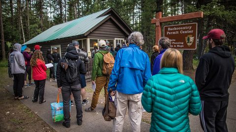 Southern Appalachian Permits and Reservations You Need to Book Ahead
Every Southern Appalachian permit and reservation you need to book ahead: Grandfather Mountain, Biltmore, Tallulah Gorge floor access, and backcountry quotas.
Southern Appalachian Permits and Reservations You Need to Book Ahead
Every Southern Appalachian permit and reservation you need to book ahead: Grandfather Mountain, Biltmore, Tallulah Gorge floor access, and backcountry quotas.
-
 What to Pack for the Southern Appalachians, Where Wet and Steep Rewrite the Rules
Packing list for the Southern Appalachians, where 1,000-foot climbs come on short trails and weather flips from sun to sideways rain in 20 minutes.
What to Pack for the Southern Appalachians, Where Wet and Steep Rewrite the Rules
Packing list for the Southern Appalachians, where 1,000-foot climbs come on short trails and weather flips from sun to sideways rain in 20 minutes.