A No-Sugarcoating Guide to Winter Hiking in the Southern Appalachians
Which Southern Appalachian trails stay open in winter, which roads ice over and close without warning, and how to hike safely when the Parkway shuts down.
.jpg)
What Actually Stays Open for Southern Appalachians Winter Hiking
The Blue Ridge Parkway closes section by section from late November through March. Full closure can happen after the first heavy snow. Clingmans Dome Road shuts down December 1 through March 31. The two most famous high-elevation driving routes in the Southern Appalachians are off the table for at least four months. You need a backup plan before you book anything.
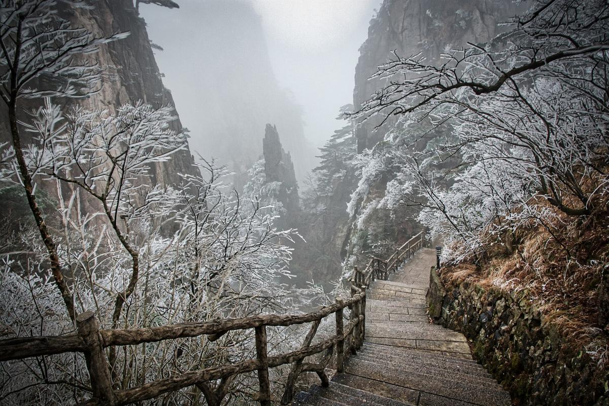
The single most useful number is 3,500 feet. On north facing trails above that elevation, ice persists 2 to 4 weeks after the last snowfall, and microspikes become necessary from December through mid-March. On south and west facing slopes, the same ice melts 3 to 5 times faster. Below 2,500 feet, most trails stay wet but walkable with good boots and trekking poles. The hard truth: a 3-mile winter hike above 4,500 feet can take longer and require more gear than an 8-mile summer hike on the same trail.
Your Winter Hiking Clock
Start your day at 7:30 AM. Sunrise in December and January is around that time, and daylight vanishes by 5:20 PM. Summit attempts above 5,000 feet get a hard stop at 2:00 PM in December and January. Push it back to 3:00 PM in March. Ignore this and you hike the last mile in darkness on a trail that is now freezing over again.
Which Trails Become Dangerous and Which Stay Sensible
Four trails turn genuinely dangerous in winter. Alum Cave Trail has an exposed ice traverse above 4,000 feet with a fatal fall history. The cable section and upper switchbacks make microspikes mandatory. Chimney Tops Trail develops steep ice on the final pitch, and sections close annually when the surface becomes unmanageable. Boulevard Trail carries deep snow cornices near the Mount LeConte summit. Mount LeConte via Rainbow Falls includes an ice chute with a 50-foot exposure. The National Park Service posts these closures on their Smokies road Twitter feed at @SmokiesRoadsNPS. Check it before you drive.
Rainbow Falls Trail becomes a specific hazard when spray from the waterfall freezes on the approach stairs. The ice chute near the falls creates a 50-foot exposure that has sent unprepared hikers to the hospital. Skip this trail entirely between December and March unless you have ice axe training and a partner who also has it.
Trails That Stay Walkable
The sensible options live below 3,500 feet on south-facing slopes. Deep Creek Trail stays under 2,500 feet and faces south. Little River Trail sits under 2,500 feet on a wide grade that drains well. Porters Creek Trail remains moderate grade below 3,000 feet. Kephart Prong Trail keeps below 3,500 feet with a south-facing lower section. These four trails give you the winter advantage of leafless hardwoods opening 40 to 60 percent more sightlines on approach trails below 4,500 feet, plus a 15 to 25 percent drop in relative humidity that increases visibility range compared to summer. You see farther with fewer people around.
How to Handle Road Closures and Trailhead Access
When the Blue Ridge Parkway gates close, you walk. Trailhead access requires 0.5 to 3 miles of road walking from the nearest gated access point. Budget an extra hour for this in your hike plan. Check the NPS real-time closure map at nps.gov/blri/planyourvisit/roadclosures.htm every morning before you leave your lodging. The Parkway closes without notice for ice, fog, or rock slides. Always have a non-Parkway alternate route mapped. Newfound Gap Road, US-441 through the Smokies, can be checked by calling 865-436-1200 and pressing 1 then 2.
Cell Service And Navigation
Cell service drops to zero the moment you enter a gap or a holler on most trailheads. Verizon and AT&T have the least bad coverage, but even they fail below ridgelines and in deep coves. T-Mobile is nearly useless outside town limits. Download offline Google Maps and AllTrails layers before you leave Wi-Fi. Carry a paper DeLorme Gazetteer and set your navigation to paved roads only. GPS apps regularly route you onto unpaved Forest Service roads that are impassable in a sedan.
What It Costs To Get There
Fly into Asheville Regional Airport, 25 minutes from downtown Asheville, rental cars from $50 per day. Charlotte Douglas sits 2.5 hours from Boone and Blowing Rock via US-321, rentals from $40 per day. McGhee Tyson near Knoxville is 45 minutes to Townsend, rentals from $45 per day. You must rent a car. Rideshare is unreliable once you leave the Asheville city limits. The winding two-lane mountain roads with 25 mph switchbacks turn a 60-mile drive into 2 to 2.5 hours. Never drive that route after dark. Fill your gas tank at half full. Stretches of 40 miles without fuel exist on the Parkway and between small towns.
When To Arrive And When To Leave
The avoid window runs mid-March through early April. Mud season closes many trails to prevent erosion, and the weather oscillates between sleet and 45°F drizzle. Minimum days for this region is five. Any less and you spend all your time in the car connecting dots without feeling the rhythm of the place. Peak season in October brings the worst crowding on the Blue Ridge Parkway and in towns like Boone and Gatlinburg. The week of July 4 fills every pull-off and campground by Thursday. Winter solves the crowding problem but replaces it with the danger problem.
.jpeg)
| Elevation Band | North/East Facing | South/West Facing | Microspikes Needed |
|---|---|---|---|
| Below 2,500 ft | Wet but walkable | Dry to damp | No |
| 2,500 to 3,500 ft | Patchy ice, slow tread | Mostly clear | North-facing only |
| 3,500 to 4,500 ft | Ice persists 2-4 weeks after snow | Clears in days | Yes, both aspects |
| Above 4,500 ft | Snowpack 2-4 ft deep Jan-Feb | Variable, wind-scoured | Mandatory above 3,500 ft |
| Above 5,500 ft | Wind chill to -20°F in January | Same | Ice axe + training |
Common Questions
Can I drive the Blue Ridge Parkway in December?
No. Sections close from late November through March, with full closure possible after the first heavy snow. Check the NPS real-time closure map at nps.gov/blri/planyourvisit/roadclosures.htm each morning and always have a non-Parkway alternate route.
Do I really need microspikes for a winter hike here?
Yes, above 3,500 feet on north facing trails from December through mid-March. North and east facing slopes hold ice 3 to 5 times longer than south facing slopes. On trails like Alum Cave above 4,000 feet, microspikes are mandatory, not optional.
What time should I start a winter hike?
Start by 8:00 AM. Sunrise is around 7:40 AM in January, sunset by 5:40 PM. Hard stop for summit attempts above 5,000 feet is 2:00 PM in December and January, 3:00 PM in March. You lose 10 hours of daylight compared to summer.
Which waterfall hikes are safe in winter?
Almost none above 3,500 feet. Spray freezes on approach stairs, creating lethal ice on trails like Rainbow Falls. Stick to Deep Creek Trail below 2,500 feet or skip waterfall hikes until April. The winter view advantage of visibility and fewer people is not worth the ice risk.
Read next
-
 Southern Appalachians Waterfall Hikes Worth the Drive and the Ones That Kill
The Southern Appalachian waterfall hikes that have killed people, the specific hazards on each trail, and safer nearby alternatives.
Southern Appalachians Waterfall Hikes Worth the Drive and the Ones That Kill
The Southern Appalachian waterfall hikes that have killed people, the specific hazards on each trail, and safer nearby alternatives.
-
 Smokies vs Blue Ridge Which Half of the Southern Appalachians Fits Your Week
Smokies or Blue Ridge for a one-week Southern Appalachians trip—how the two halves compare in crowds, terrain, towns, and daily logistics.
Smokies vs Blue Ridge Which Half of the Southern Appalachians Fits Your Week
Smokies or Blue Ridge for a one-week Southern Appalachians trip—how the two halves compare in crowds, terrain, towns, and daily logistics.
-
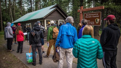 Southern Appalachian Permits and Reservations You Need to Book Ahead
Every Southern Appalachian permit and reservation you need to book ahead: Grandfather Mountain, Biltmore, Tallulah Gorge floor access, and backcountry quotas.
Southern Appalachian Permits and Reservations You Need to Book Ahead
Every Southern Appalachian permit and reservation you need to book ahead: Grandfather Mountain, Biltmore, Tallulah Gorge floor access, and backcountry quotas.
-
 What to Pack for the Southern Appalachians, Where Wet and Steep Rewrite the Rules
Packing list for the Southern Appalachians, where 1,000-foot climbs come on short trails and weather flips from sun to sideways rain in 20 minutes.
What to Pack for the Southern Appalachians, Where Wet and Steep Rewrite the Rules
Packing list for the Southern Appalachians, where 1,000-foot climbs come on short trails and weather flips from sun to sideways rain in 20 minutes.