Which Airport to Fly Into for the Southern Appalachians
Compare AVL, TYS, and CLT airports for the Southern Appalachians: drive times, rental-car costs, and why a personal vehicle is non-negotiable.
The Short Answer First
Fly into Asheville Regional (AVL) for the city itself, Pisgah National Forest, or the Blue Ridge Parkway between Mileposts 290 and 400. Fly into Knoxville's McGhee Tyson (TYS) for Great Smoky Mountains National Park or the Nantahala National Forest. Choose Charlotte Douglas (CLT) only if the fare difference saves you more than $150 per ticket. The drive-time penalty is real: two and a half hours of Interstate before the mountains begin, then another hour of two-lane road.
You must rent a car at all three airports. Rideshare apps stop being viable the moment you leave the city limits. No public transit runs into the mountains. Budget for the car: AVL economy rentals start at $55 a day, TYS at $50, and CLT at $40. Over a five-day minimum trip, the spread matters.

The Three Airport Options
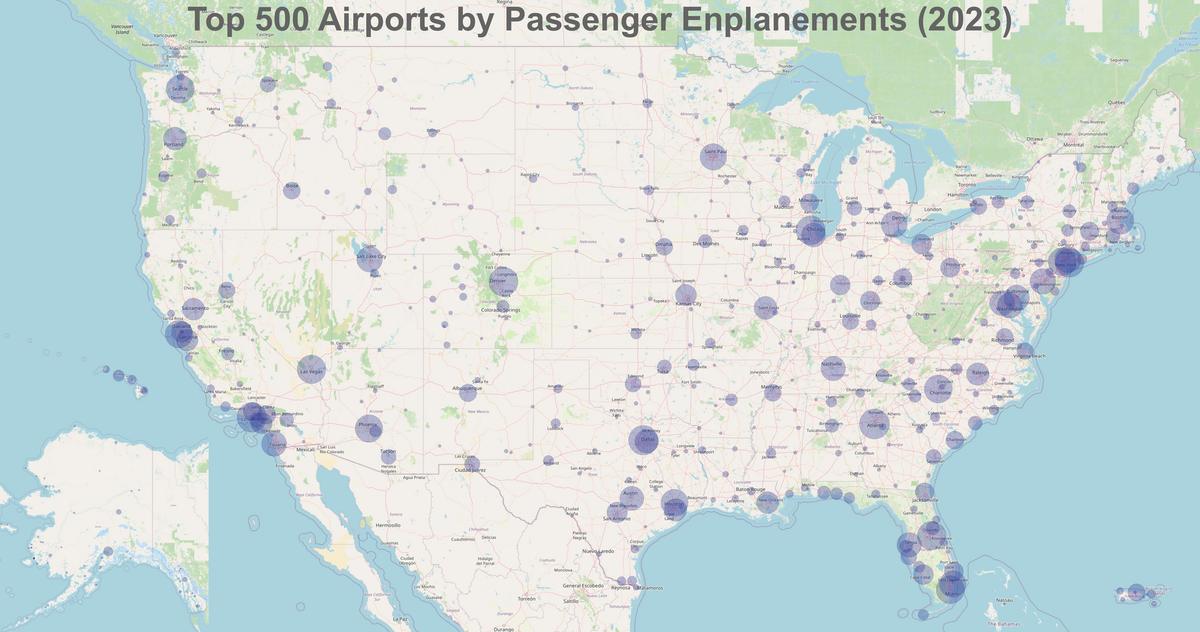
The average round-trip fare to AVL runs $300 to $550 from major US hubs. To TYS, it's $280 to $500. To CLT, $250 to $450. That $50 to $100 difference per ticket evaporates if you burn half a day driving and pay extra for gas on curvy roads delivering 18 miles per gallon.
Asheville Regional (AVL)
AVL sits five to ten minutes from the Blue Ridge Parkway entrance. It is the closest airport to Pisgah National Forest (35 to 45 minutes to the Looking Glass Rock trailhead), Mount Mitchell State Park (one hour), and the Brevard waterfall loop (30 to 45 minutes). You walk from the gate to the rental counter in under five minutes. TSA wait averages five to fifteen minutes. Nonstop destinations: 25 to 30. The catch: AVL is the region's most expensive airport per ticket, and the rental fleet is smaller. Reserve a car at least three weeks ahead during October and July. If you arrive at 1:00 AM and the rental counter is closed, you walk to a nearby hotel and deal with the car in the morning. There is no 24-hour shuttle.
McGhee Tyson (TYS) near Knoxville
TYS is 45 minutes to an hour from the Sugarlands entrance of Great Smoky Mountains National Park and an hour to an hour and fifteen minutes from Cades Cove. It is the nearest airport to the Nantahala National Forest and to Townsend, the quiet side of the Smokies. Rental cars from $50 a day. TSA wait: five to fifteen minutes. Nonstop destinations: 25 to 30. The drive into the Smokies is straightforward: take I-40 east to US 321 south. That road is four-lane divided highway for the first 30 miles, then two lanes with moderate curves. Friday afternoon Knoxville traffic adds 20 to 30 minutes. The failure case: if the Smokies are fogged in and the Parkway is closed, your backup is US 441 through Cherokee, which adds half an hour. TYS has a small terminal; after 10:00 PM the only food option is a vending machine.
Charlotte Douglas (CLT)
CLT is a major hub: 150+ domestic nonstop destinations, 2,700+ daily departures. Rental cars from $40 a day. The price is the draw. The cost is the drive. CLT to Boone or Blowing Rock via US 321 takes two and a half hours minimum on a good day. Friday afternoon Charlotte traffic before you clear the city can add 45 minutes. US 321 north of Hickory is a decent road, four lanes divided with a 65 mph limit through the Piedmont, but it narrows to two lanes with stoplights as you approach the mountains. The drive itself is fine: long sight lines, minimal switchbacks, a gas station every ten miles. But you do not see a mountain for the first 90 minutes. CLT to the Blue Ridge Parkway at Blowing Rock is two and a half hours. CLT to Asheville is three hours and fifteen minutes to four hours. The failure case: land at CLT at 5:00 PM on a Friday and you sit in US 321 congestion for an extra hour. Budget for that. Gate-to-highway time at CLT is 30 to 45 minutes with carry-on only, plus the SkyTrain to the rental center. It is the most efficient hub and the worst gateway for the mountains.
When Asheville, Tri-Cities, or Charlotte Are Not Your Best Gateway
Heading to the Chattahoochee-Oconee National Forests in north Georgia? Fly into Hartsfield-Jackson Atlanta (ATL). ATL is an hour and fifteen minutes to an hour and a half from Amicalola Falls State Park and an hour and forty-five minutes to two hours and fifteen minutes from Springer Mountain. The fare is $200 to $400 round trip, the lowest in the region, and rental cars start at $45 a day. For Cherokee National Forest near the Ocoee River, fly into Chattanooga (CHA): 45 minutes to an hour, fares $300 to $520, rental cars from $50 a day. For the Greenville-Spartanburg area and the southern Pisgah trails, fly into Greenville-Spartanburg (GSP): 45 minutes to an hour from Brevard, fares $260 to $480, rental cars from $50 a day. Those three airports are not the focus for the Southern Appalachians core. They are the correct answer for those specific districts.
| District | Best Airport | Drive Time | Typical Fare (Round Trip) |
|---|---|---|---|
| Asheville | AVL | 25 min | $300–$550 |
| Blowing Rock / Boone | AVL | 1 h 15 min | $300–$550 |
| Little Switzerland | AVL | 1 h | $300–$550 |
| Bryson City (Smokies) | TYS | 1 h 15 min | $280–$500 |
| Townsend (Smokies) | TYS | 45 min | $280–$500 |
| Hot Springs (AT) | AVL | 45 min | $300–$550 |
| Brevard (Pisgah) | AVL | 35 min | $300–$550 |
| Floyd | AVL | 2 h | $300–$550 |
| Dahlonega | ATL | 1 h 30 min | $200–$400 |
| Great Smoky Mountains NP (Sugarlands) | TYS | 45 min–1 h | $280–$500 |
| Great Smoky Mountains NP (Cades Cove) | TYS | 1 h–1 h 15 min | $280–$500 |
| Blue Ridge Parkway (Asheville access) | AVL | 5–10 min | $300–$550 |
| Mount Mitchell State Park | AVL | 1 h–1 h 15 min | $300–$550 |

What to Do the Moment You Land
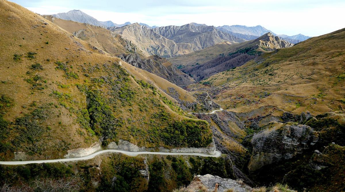
Walk to the rental counter and take the keys. Do not open a rideshare app. It works inside the terminal but dies on US 74 or US 321 five miles out. Inspect the car for clearance. A sedan works on paved state routes but fails on unpaved Forest Service roads. If the agency hands you a low-profile sedan and your itinerary includes Linville Gorge or the Cherohala Skyway, exchange it for something with six inches of ground clearance.
Before you leave the airport Wi-Fi, download offline Google Maps for the entire region. Cell service drops to zero in deep coves, at most trailheads, and on extended stretches of the Blue Ridge Parkway. Verizon and AT&T have the least bad coverage. T-Mobile is nearly useless outside town limits. Download AllTrails offline layers as well. Carry a paper DeLorme Gazetteer in the glove box. GPS apps routinely route you onto unpaved Forest Service roads impassable in a sedan. Set your nav to paved roads only.
Fill the gas tank before you leave the airport area. Gas-station deserts of 40 miles or more exist on the Parkway and between small towns like Hot Springs and Little Switzerland. Fill at half a tank, not at a quarter.
Check the NPS real-time road-closure map for the Blue Ridge Parkway before you drive. The Parkway closes for ice, fog, and rock slides with no advance notice. Have a non-Parkway alternate route in mind. US 221, US 276, and NC 226 all parallel the Parkway and stay open in most weather.
Common Questions
Can I get by without a rental car if I fly into AVL?
No. Rideshare dies at the city line. No bus goes into Pisgah National Forest or the Blue Ridge Parkway. You need a car for every single day. There is no workaround.
If I fly into CLT, is the drive to Boone safe after dark?
It is not recommended. The two-lane sections of US 321 north of Hickory are winding and unlit. Fog settles in the valleys after midnight. Land at CLT after 6:00 PM and you book a hotel near the airport and drive at dawn.
Which airport has the cheapest rental cars?
CLT has the lowest average economy rate at $40 per day. AVL is the most expensive at $55 to $90 per day. TYS falls in the middle at $50 to $85 per day.
Is AVL worth the premium over CLT?
Yes, if your trip is to Asheville, Pisgah National Forest, or the central Blue Ridge Parkway. The two and a half hours you save on each end of the trip gives you an extra half day on the trail. That is worth more than $100 per person.
What if I want to visit both the Smokies and Asheville?
Fly into TYS and drive east over US 321 and the Foothills Parkway to the Smokies, then continue to Asheville via I-40 (an hour and fifteen minutes from the Smokies to the city). That route avoids AVL's premium pricing and puts you at the west gate first.
Read next
-
 Where to Stay in the Southern Appalachians, From Backcountry Shelters to Roadside Motels
A guide to Southern Appalachian lodging: vintage Parkway motor courts, trail-town motels, cabin clusters, and backcountry shelters, with price bands and booking lead times.
Where to Stay in the Southern Appalachians, From Backcountry Shelters to Roadside Motels
A guide to Southern Appalachian lodging: vintage Parkway motor courts, trail-town motels, cabin clusters, and backcountry shelters, with price bands and booking lead times.
-
 Southern Appalachians Trail Towns Where to Base Yourself and When to Camp Instead
Match your Southern Appalachians trip to the right trail town—compare Bryson City, Brevard, Hot Springs, Dahlonega, and more by activity, lodging type, and peak-season availability.
Southern Appalachians Trail Towns Where to Base Yourself and When to Camp Instead
Match your Southern Appalachians trip to the right trail town—compare Bryson City, Brevard, Hot Springs, Dahlonega, and more by activity, lodging type, and peak-season availability.
-
 Best Time to Visit the Southern Appalachians for Trails and Quiet
Season-by-season timing for the Southern Appalachians, including mud-season trail closures, October leaf-peeper gridlock, and June rhododendron blooms.
Best Time to Visit the Southern Appalachians for Trails and Quiet
Season-by-season timing for the Southern Appalachians, including mud-season trail closures, October leaf-peeper gridlock, and June rhododendron blooms.
-
 Getting Around the Southern Appalachians Without a Transit System
How to get around the Southern Appalachians when there is no transit, cell service drops, and GPS routes you onto impassable roads.
Getting Around the Southern Appalachians Without a Transit System
How to get around the Southern Appalachians when there is no transit, cell service drops, and GPS routes you onto impassable roads.
-
 Your First Week in the Southern Appalachians Built Around Weather Not a List
-
 Southern Appalachian Food, From Trail Resupply to Meat-and-Three Plates
Practical food guide for the Southern Appalachians: where to eat after a hike, where to resupply, and what to expect when restaurants close by 8:30 p.m.
Southern Appalachian Food, From Trail Resupply to Meat-and-Three Plates
Practical food guide for the Southern Appalachians: where to eat after a hike, where to resupply, and what to expect when restaurants close by 8:30 p.m.
-
 Blue Ridge and Pisgah
The Asheville and Pisgah side of the Southern Appalachians along the Blue Ridge Parkway, with waterfall loops, craft breweries, and Mount Mitchell.
Blue Ridge and Pisgah
The Asheville and Pisgah side of the Southern Appalachians along the Blue Ridge Parkway, with waterfall loops, craft breweries, and Mount Mitchell.
-
 Great Smoky Mountains
A Great Smoky Mountains guide focused on quiet gateways like Bryson City and Townsend, dawn wildlife viewing at Cades Cove, and avoiding Gatlinburg crowds.
Great Smoky Mountains
A Great Smoky Mountains guide focused on quiet gateways like Bryson City and Townsend, dawn wildlife viewing at Cades Cove, and avoiding Gatlinburg crowds.
-
 North Georgia
's quiet end of the Southern Appalachians, from Springer Mountain's AT start to Dahlonega's wine trail and Tallulah Gorge's permitted floor.
North Georgia
North Georgia's quiet end of the Southern Appalachians, from Springer Mountain's AT start to Dahlonega's wine trail and Tallulah Gorge's permitted floor.