The Southern Appalachians' Quiet End in North Georgia
North Georgia's quiet end of the Southern Appalachians, from Springer Mountain's AT start to Dahlonega's wine trail and Tallulah Gorge's permitted floor.
- Flag
-

- ISO code
- US
- Currency
- USD
- Timezone
- America/New_York
The Southern Appalachians’ Quiet End in North Georgia
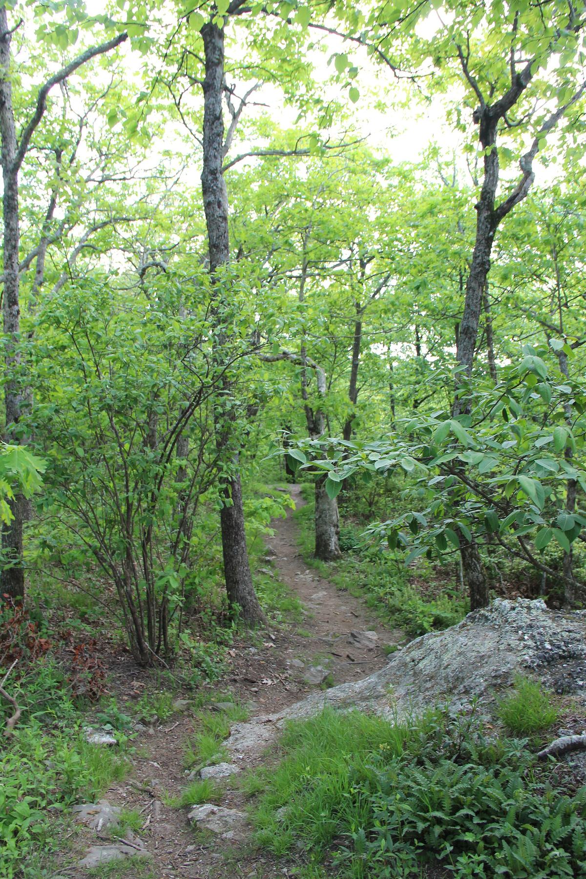
Most people picture the Southern Appalachians as the Blue Ridge Parkway, Asheville's brewery blocks, and the Gatlinburg strip. That image is correct for the central spine. It is wrong for the southern terminus. North Georgia is the quiet, lower elevation bookend of the range, and it has almost nothing in common with the corridor between Boone and Asheville. The Appalachian Trail does not blast out of Georgia with fanfare. It starts on a granite summit at Springer Mountain at 3,782 feet, marked by a single white rectangle painted on rock. No visitor center. No parking lot at the top. Just a footpath that runs 78.2 miles through Georgia before crossing into North Carolina.
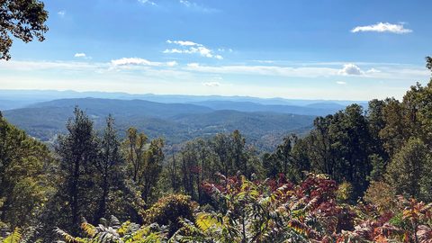
What makes this end of the range different is altitude, crowd density, and personality. The highest point on the Georgia AT section is Blood Mountain at 4,458 feet, barely two-thirds the height of Mount Mitchell in North Carolina. You do not stand above tree line on balds like Max Patch. You walk through hardwood coves where the canopy closes overhead. The elevation gain per mile runs 200 to 400 feet. Every mile costs you real effort. The Chattahoochee National Forest covers 750,145 acres across 18 north Georgia counties. Outside the October leaf window and the spring thru hiker surge, you can hike a full day and see fewer than ten people. That is the point.
.jpg)
The Southern Terminus: Springer Mountain and the Approach Trail
Reaching the Start
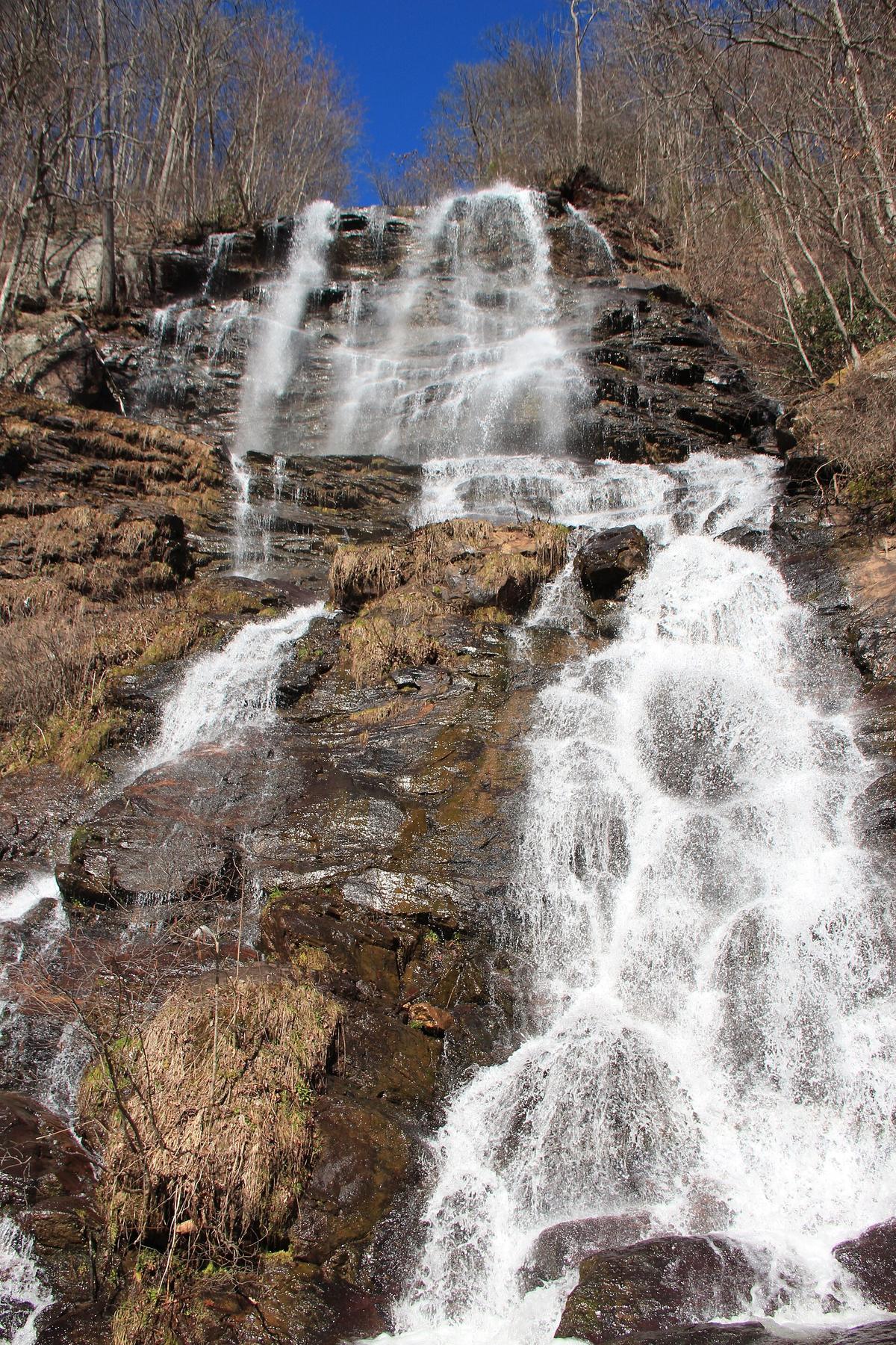
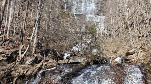
The AT officially begins on Springer Mountain. You cannot drive to the summit. The shortest access requires a 25 minute drive from Dahlonega to a Forest Service road that ends at a parking area, then a 0.9 mile walk to the summit. Most thru hikers skip that route and start at Amicalola Falls State Park, where the Approach Trail begins. The Approach Trail runs 8.8 miles from the visitor center to the Springer summit, with roughly 3,200 feet of elevation gain. That is a hard walk, not a warm up. The falls themselves drop 729 feet, the tallest cascading waterfall in Georgia, and the stairs to the top are a legitimate climb. Do not treat the Approach Trail as a casual first day. Budget five to seven hours. Carry three liters of water. Start before sunrise if you want to reach Springer by midday.
Timing Your Trip
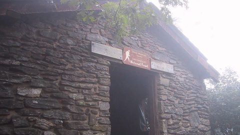
Thru hiker registrations at Amicalola hit 1,371 in March 2023 and 1,475 in March 2024. The peak window runs March 1 to April 15. Go in late April or early May, after the bubble passes, if you want solitude. The Georgia section sees very low visitation outside that March to April window. You will share the trail with locals and section hikers, not the parade of northbound thru hikers. Blood Mountain, the highest point on the Georgia AT at 4,458 feet, has a historic stone shelter built by the Civilian Conservation Corps in 1934 that sleeps eight to ten people. It is one of the oldest shelters on the entire trail and worth the detour even if you are not spending the night. The shelter sits in a gap with a view south toward the Atlanta skyline on clear days. That sightline is rare for this section because the forest is dense.
Dahlonega, Gold, and the Wine Trail That Requires a Designated Driver
The Town and the Gold
Dahlonega sits at 1,450 feet and had 7,537 residents in the 2020 census. It was the site of the first major gold rush in the United States, starting in 1828, decades before California. The historic square has a courthouse museum with gold exhibits and a working stamp mill. That alone is worth an afternoon.
The Wine Trail
Dahlonega also anchors the north Georgia wine trail, with five to eight tasting rooms within a 20 minute drive of the square. The wines are dry. The vineyards sit on the same ridgelines as the gold mines. The roads between them are curvy two lanes with blind corners. Here the designated driver warning becomes essential. Do not assume a ride share will be available. Cell service drops to zero outside the town limits. If you drink, your driver stays sober. The alternative is a dangerous drive on roads that turn a 25 mile trip into a 50 minute white knuckle effort.
Blue Ridge and the Rules
Towns like Blue Ridge, elevation 1,762 feet with a population of 1,253, offer a different north Georgia rhythm. Blue Ridge is the staging point for Springer Mountain trailheads, roughly 35 miles away, and the home of a historic train depot that runs scenic rides through the Chattahoochee National Forest. The main street has antique shops and a few restaurants that close by 8:30 p.m. This is a dry county patchwork area where the craft brewery you drove to may only sell beer to go because the county line falls in a different jurisdiction. Know the blue laws before you plan an evening. Sunday alcohol sales before noon are not guaranteed.

Tallulah Gorge and the 100 Permit Day
The Gorge Floor
Tallulah Gorge drops 1,000 feet into a canyon that rivals Linville Gorge in scale, but requires a permit to reach the floor. The state park issues 100 permits per day for gorge floor access. Arrive by 8 a.m. on a weekend or you will not get one. The stairs down are steep, ungraded, and not suitable for anyone with mobility limitations. Once you reach the floor, you stand in the riverbed with walls rising in all directions, and the sound of the water amplifies off the granite. The overlooks above require no permit and are accessible via a paved rim trail that crosses a suspension bridge. Do not skip the overlooks if the floor permits are gone. The view from the bridge is worth the drive from Dahlonega, about an hour east. But if you want the full experience, the floor is where the gorge changes from a scenic stop into a serious place.
Getting Around Safely
Tallulah Gorge is a reminder of the friction that defines north Georgia travel. The winding roads turn a 40 mile drive into 90 minutes of switchbacks. Fill your gas tank at half empty. Stretches of 40 miles without fuel exist. Download offline Google Maps and AllTrails layers before you leave WiFi. Verizon and AT&T drop to zero in deep coves. T Mobile is nearly useless outside town limits. If you drive the Forest Service roads to reach a trailhead and your GPS routes you onto an unpaved road, stop. Carry a paper DeLorme Gazetteer and set your nav to paved roads only. Many visitors end up stuck in a sedan on a road that requires high clearance. Do not let that be you.
More destinations in the Southern Appalachians
What to See in North Georgia
-
 Blood Mountain
 requires a hard-sided bear canister for all overnight campers—chronic bear activity at the historic stone shelter made the rule permanent in the Chattahoochee National Forest.
Blood Mountain
Blood Mountain requires a hard-sided bear canister for all overnight campers—chronic bear activity at the historic stone shelter made the rule permanent in the Chattahoochee National Forest.
-
 Amicalola Falls and the Approach Trail
The Appalachian Trail Approach Trail begins with a 604-step staircase up Amicalola Falls—the first brutal test for thru-hikers before they even reach Springer Mountain.
Amicalola Falls and the Approach Trail
The Appalachian Trail Approach Trail begins with a 604-step staircase up Amicalola Falls—the first brutal test for thru-hikers before they even reach Springer Mountain.
Common Questions
Where exactly does the Appalachian Trail begin in Georgia?
The southern terminus is on Springer Mountain at 3,782 feet. The summit is marked with a white painted rectangle on rock. You cannot drive to the top. The shortest hike is 0.9 miles from a Forest Service parking area. The Approach Trail starts at Amicalola Falls State Park and runs 8.8 miles with roughly 3,200 feet of elevation gain.
How is north Georgia different from the North Carolina and Tennessee sections of the Appalachians?
Lower elevations, fewer crowds, and a quieter personality. The highest point on the Georgia AT is Blood Mountain at 4,458 feet, well below the peaks further north. The terrain demands serious effort per mile with 200 to 400 feet of gain, but you will have more trail to yourself outside the March to April thru hiker window.
When is the best time to hike the Georgia AT section?
Outside the March 1 to April 15 thru hiker peak, the section sees very low visitation. Late April and May offer good conditions with lower crowds. Mid March through early April is mud season with trail closures and erratic weather. July has high elevation wildflower blooms but carries holiday crowds if you visit during the July 4 week.
Do I need a permit to hike the Georgia AT?
No permit is required for day hiking or overnight backpacking on the AT in Georgia. The Approach Trail and Springer Mountain access do not require a permit. Backcountry permits and shelter reservations are covered under separate guidance on other pages. You need a permit for Tallulah Gorge floor access, limited to 100 per day.
Can I visit Tallulah Gorge without a permit for the floor?
Yes. The rim trail and suspension bridge are accessible without a permit. The floor requires one of the 100 daily permits, which you must obtain in person at the park. Arrive before 8 a.m. on weekends to secure one. The overlooks alone are worth the drive if you arrive late.
Is north Georgia safe for solo hikers?
Yes, but the terrain and isolation require preparation. The Georgia AT section has no cell service across most of the backcountry. Carry a paper map or downloaded offline maps. Pack more water than you think you need. Weather can flip from sun to sideways rain in 20 minutes. Tell someone your route and expected return time.
How much time should I spend in north Georgia?
Five days minimum. Any less and you spend all your time driving between points without feeling the rhythm of the place. The roads are slow, the towns close early, and the trails demand full days. Budget for 2 hours to cover what looks like a 40 mile distance on a map.
Read next
-
Blood Mountain
Blood Mountain requires a hard-sided bear canister for all overnight campers—chronic bear activity at the historic stone shelter made the rule permanent in the Chattahoochee National Forest.
-
Amicalola Falls and the Approach Trail
The Appalachian Trail Approach Trail begins with a 604-step staircase up Amicalola Falls—the first brutal test for thru-hikers before they even reach Springer Mountain.
-
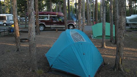 Where to Stay in the Southern Appalachians, From Backcountry Shelters to Roadside Motels
A guide to Southern Appalachian lodging: vintage Parkway motor courts, trail-town motels, cabin clusters, and backcountry shelters, with price bands and booking lead times.
Where to Stay in the Southern Appalachians, From Backcountry Shelters to Roadside Motels
A guide to Southern Appalachian lodging: vintage Parkway motor courts, trail-town motels, cabin clusters, and backcountry shelters, with price bands and booking lead times.
-
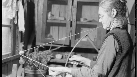 Southern Appalachians Trail Towns Where to Base Yourself and When to Camp Instead
Match your Southern Appalachians trip to the right trail town—compare Bryson City, Brevard, Hot Springs, Dahlonega, and more by activity, lodging type, and peak-season availability.
Southern Appalachians Trail Towns Where to Base Yourself and When to Camp Instead
Match your Southern Appalachians trip to the right trail town—compare Bryson City, Brevard, Hot Springs, Dahlonega, and more by activity, lodging type, and peak-season availability.
-
 Flying Into the Southern Appalachians, Airport by Airport
Compare AVL, TYS, and CLT airports for the Southern Appalachians: drive times, rental-car costs, and why a personal vehicle is non-negotiable.
Flying Into the Southern Appalachians, Airport by Airport
Compare AVL, TYS, and CLT airports for the Southern Appalachians: drive times, rental-car costs, and why a personal vehicle is non-negotiable.
-
 Best Time to Visit the Southern Appalachians for Trails and Quiet
Season-by-season timing for the Southern Appalachians, including mud-season trail closures, October leaf-peeper gridlock, and June rhododendron blooms.
Best Time to Visit the Southern Appalachians for Trails and Quiet
Season-by-season timing for the Southern Appalachians, including mud-season trail closures, October leaf-peeper gridlock, and June rhododendron blooms.
-
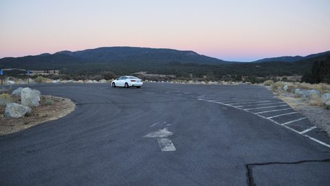 Getting Around the Southern Appalachians Without a Transit System
How to get around the Southern Appalachians when there is no transit, cell service drops, and GPS routes you onto impassable roads.
Getting Around the Southern Appalachians Without a Transit System
How to get around the Southern Appalachians when there is no transit, cell service drops, and GPS routes you onto impassable roads.
-
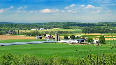 Your First Week in the Southern Appalachians Built Around Weather Not a List
-
 Blue Ridge and Pisgah
The Asheville and Pisgah side of the Southern Appalachians along the Blue Ridge Parkway, with waterfall loops, craft breweries, and Mount Mitchell.
Blue Ridge and Pisgah
The Asheville and Pisgah side of the Southern Appalachians along the Blue Ridge Parkway, with waterfall loops, craft breweries, and Mount Mitchell.