Visiting Max Patch Responsibly Under the New Use Restrictions
Max Patch is now day-use only with no camping and no fires—the Forest Service closed it to overnight use after the iconic bald was trashed by overuse.

A Bald Loved to Death, Then Saved
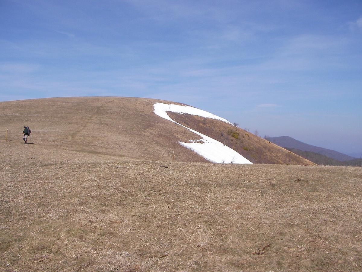
The sun hits Max Patch at 6:15 a.m. and the grass is wet with dew that will burn off by eight. Thirty people are already on the summit, phones out, waiting for the light to break over the Smokies. Two years ago there would have been tents here. Fire pits. Broken bottles. A human waste problem so bad the Forest Service shut it all down.
The Instagram boom brought crowds that trampled the fragile grass, left trash, and lit illegal campfires that scorched the bald. On July 1, 2021, the USDA Forest Service issued an area closure order banning camping and fires on Max Patch. What was initially a two-year restriction has been continued annually. You can still visit. You just cannot sleep there or cook there. That is the trade for keeping the place intact.
- Summit Elevation: 4,629 ft (1,411 m)
- Walk From Parking to Summit: 0.5 miles one way; loop trail option is 1.5 miles
- Elevation Gain: Approximately 100 ft
- Difficulty: Easy
- View: 360-degree panoramic
- Appalachian Trail Crossing: Yes, the AT traverses the summit
- Parking Coordinates: 35.7970, -82.9567
- Road Access: Unpaved, narrow, potholed, steep. Cold Springs Road (FS-148) from NC-1182, or Max Patch Road (FS-1182) from TN-107
- Vehicle Warning: Low-clearance vehicles risk undercarriage scraping. Washboard surface.
- Current Restrictions: Camping and fires prohibited. Day-use only.
- Managing Agency: USDA Forest Service, Pisgah National Forest, Appalachian Ranger District
The New Rules and Why They Exist
What The Ban Covers
Max Patch is a grassy bald at 4,629 feet, one of the few places in the Southern Appalachians where you stand on soft ground and see nothing but sky and ridgelines in every direction. The Appalachian Trail crosses the summit. That combination of easy access and 360 degree views made it a social media magnet. Social media brought crowds. Crowds brought damage.
The Forest Service documented trampled vegetation, human waste, litter, and illegal campfires. Unregulated camping caused soil compaction, permanent fire scars, and piles of trash. The closure order that took effect July 1, 2021, bans all camping and all fires. Period. No tents, no stoves, no campfires, no charcoal grills. Violations result in a federal citation and a fine.
Where To Park
Park in the single designated lot at coordinates 35.7970, -82.9567. That lot fills by 9 a.m. on weekends and by 7 a.m. during October leaf season. Do not park on the road shoulder. Do not block gates. The Forest Service patrols and tickets. If the lot is full, come back another day or arrive before sunrise.
Getting There Without Destroying Your Car
The Roads In
You reach Max Patch via unpaved Forest Service roads. Cold Springs Road (FS-148) from the North Carolina side and Max Patch Road (FS-1182) from the Tennessee side are narrow, potholed, steep, and washboarded. A sedan with low clearance will scrape its undercarriage. Bring a Subaru, a truck, or anything with six inches of ground clearance. Do not attempt this road in a sports car or after a heavy rain when the surface turns to slick mud.
Navigation And Prep
Set your GPS to the parking coordinates, not the name of the bald. Mapping apps route you onto impassable roads. Download offline Google Maps before you leave Wi-Fi. Cell service is nonexistent here. Fill your gas tank before you leave the nearest town: Hot Springs on the North Carolina side, Newport on the Tennessee side. There is no fuel on the way.
The Walk Up
The walk from the parking area to the summit is a half mile with only 100 feet of elevation gain. That is easy by mountain standards. A loop trail extends it to 1.5 miles if you want more time on the bald. The path is well worn. You do not need hiking boots, but sturdy shoes help with the damp grass in the morning.
What You Get for Following the Rules
The View
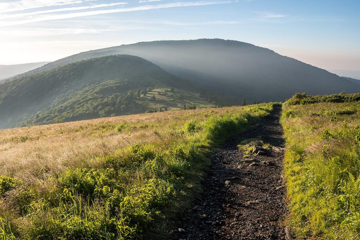
Stand on the summit and the world opens. The Great Smoky Mountains to the south, the Black Mountains to the east, the Unakas to the north, and the Tennessee Valley rolling west. No trees block the view. The grass is soft underfoot. The wind is constant. It is one of the few places on the Appalachian Trail where you can see where you came from and where you are going at the same time.
When To Go
Sunrise draws the biggest crowd. Sunset too. For relative solitude, go on a weekday in May or September. Skip October weekends entirely. You will share the summit with fifty other people. Skip the week of July 4 for the same reason.
What To Bring
Pack water, sun protection, and a wind layer. The weather flips from sunny to sideways rain in twenty minutes. There is no shelter on the bald. No bathrooms either. Pack out everything you pack in, including toilet paper and food scraps. The trash problem that led to the camping ban was caused by people who did not do this. Do not be that person.

The Honest Caveat
Max Patch is not a wilderness experience. It is a day hike to a spectacular viewpoint that happens to sit on the Appalachian Trail. The crowds are real. The parking lot is small. The road will shake your teeth loose. If you want solitude, hike deeper into the Pisgah National Forest or into the Smokies where backcountry permits and longer approaches keep the number of people low. If you want a 360 degree view with minimal effort, Max Patch is your place. But only if you respect the rules that keep it from being loved to death again.
Common Questions
Can I camp anywhere near Max Patch now?
No. Camping is prohibited on the entire bald and within the closure zone. The nearest legal dispersed camping is on nearby Forest Service land outside the closure boundary. Check the Pisgah National Forest map for open areas.
Can I have a picnic or use a camp stove?
No fires or stoves of any kind are allowed on Max Patch. Pack a cold lunch. Eat it on the summit or on the trail. Pack out every scrap of trash including orange peels and nut shells.
Is the road really that bad?
Yes. Cold Springs Road and Max Patch Road are unpaved, narrow, potholed, and steep. Low clearance vehicles will scrape. Do not attempt in a sedan after rain. Bring a high clearance vehicle.
When does the parking lot fill up?
By 9 a.m. on weekends, by 7 a.m. during October leaf season, and by 8 a.m. on summer Saturdays. Arrive at sunrise or choose a weekday. Do not park on the road shoulder. You will be ticketed.
Read next
-
 Looking Glass Rock
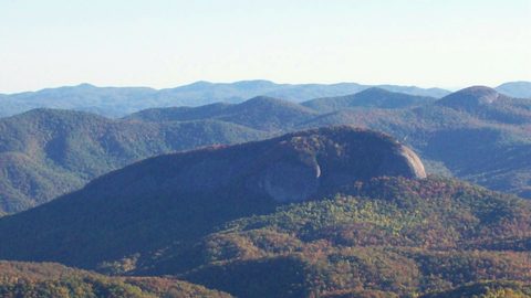
The Looking Glass Rock Trail climbs 1,700 feet in 3 miles to an exposed granite dome with no guardrails—stunning views, but wet rock and vertigo are real dangers.
Looking Glass Rock
The Looking Glass Rock Trail climbs 1,700 feet in 3 miles to an exposed granite dome with no guardrails—stunning views, but wet rock and vertigo are real dangers.
-
 Where to Stay in the Southern Appalachians, From Backcountry Shelters to Roadside Motels
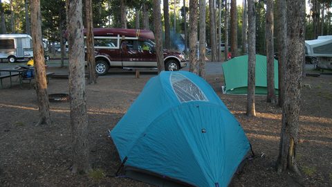
A guide to Southern Appalachian lodging: vintage Parkway motor courts, trail-town motels, cabin clusters, and backcountry shelters, with price bands and booking lead times.
Where to Stay in the Southern Appalachians, From Backcountry Shelters to Roadside Motels
A guide to Southern Appalachian lodging: vintage Parkway motor courts, trail-town motels, cabin clusters, and backcountry shelters, with price bands and booking lead times.
-
 Southern Appalachians Trail Towns Where to Base Yourself and When to Camp Instead
Match your Southern Appalachians trip to the right trail town—compare Bryson City, Brevard, Hot Springs, Dahlonega, and more by activity, lodging type, and peak-season availability.
Southern Appalachians Trail Towns Where to Base Yourself and When to Camp Instead
Match your Southern Appalachians trip to the right trail town—compare Bryson City, Brevard, Hot Springs, Dahlonega, and more by activity, lodging type, and peak-season availability.
-
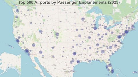 Flying Into the Southern Appalachians, Airport by Airport
Compare AVL, TYS, and CLT airports for the Southern Appalachians: drive times, rental-car costs, and why a personal vehicle is non-negotiable.
Flying Into the Southern Appalachians, Airport by Airport
Compare AVL, TYS, and CLT airports for the Southern Appalachians: drive times, rental-car costs, and why a personal vehicle is non-negotiable.
-
 Best Time to Visit the Southern Appalachians for Trails and Quiet
Season-by-season timing for the Southern Appalachians, including mud-season trail closures, October leaf-peeper gridlock, and June rhododendron blooms.
Best Time to Visit the Southern Appalachians for Trails and Quiet
Season-by-season timing for the Southern Appalachians, including mud-season trail closures, October leaf-peeper gridlock, and June rhododendron blooms.
-
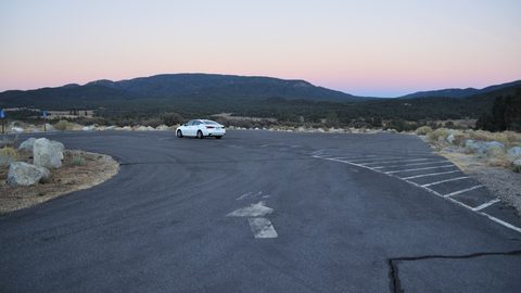 Getting Around the Southern Appalachians Without a Transit System
How to get around the Southern Appalachians when there is no transit, cell service drops, and GPS routes you onto impassable roads.
Getting Around the Southern Appalachians Without a Transit System
How to get around the Southern Appalachians when there is no transit, cell service drops, and GPS routes you onto impassable roads.
-
 Your First Week in the Southern Appalachians Built Around Weather Not a List
-
 Great Smoky Mountains
A Great Smoky Mountains guide focused on quiet gateways like Bryson City and Townsend, dawn wildlife viewing at Cades Cove, and avoiding Gatlinburg crowds.
Great Smoky Mountains
A Great Smoky Mountains guide focused on quiet gateways like Bryson City and Townsend, dawn wildlife viewing at Cades Cove, and avoiding Gatlinburg crowds.
-
 North Georgia
's quiet end of the Southern Appalachians, from Springer Mountain's AT start to Dahlonega's wine trail and Tallulah Gorge's permitted floor.
North Georgia
North Georgia's quiet end of the Southern Appalachians, from Springer Mountain's AT start to Dahlonega's wine trail and Tallulah Gorge's permitted floor.