Getting Into Great Smoky Mountains National Park From Gatlinburg Without Losing Your Mind
A practical guide to entering Great Smoky Mountains National Park from Gatlinburg while dodging Parkway gridlock and finding trailhead parking before it fills.
- Flag
-

- ISO code
- US
- Population
- 3,900
- Currency
- USD
- Timezone
- America/New_York
Getting Into Great Smoky Mountains National Park from Gatlinburg Without Losing Your Mind
Most people assume Gatlinburg is useless for hikers: a strip of fudge shops, pancake houses, and log-cabin rental offices that you suffer through on the way to the park entrance. That assumption is half right. The Parkway, US 441, is a wall-to-wall jam from 10:00 to 18:00, March through October. The place has 3,577 permanent residents and roughly 12 million annual visitors. The arithmetic is brutal.
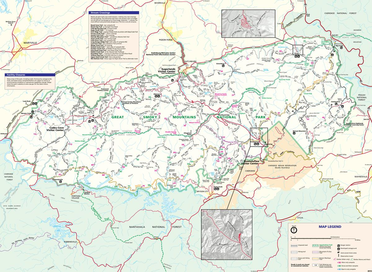
But the useful half is that Gatlinburg sits 2.0 miles from Sugarlands Visitor Center, which is the front door to the entire western Smokies trail system. The town is a friction point, not a destination. Treat it that way and you can use its grocery stores, outfitter, and motel beds to make your trip cleaner than anything you could pull off from a cabin in the woods. The trick is timing, route choice, and knowing the workarounds that locals use to bypass the circus entirely.

The Gatlinburg Bypass: Your Only Real Option Between 10 and 6
Skip The Strip Entirely
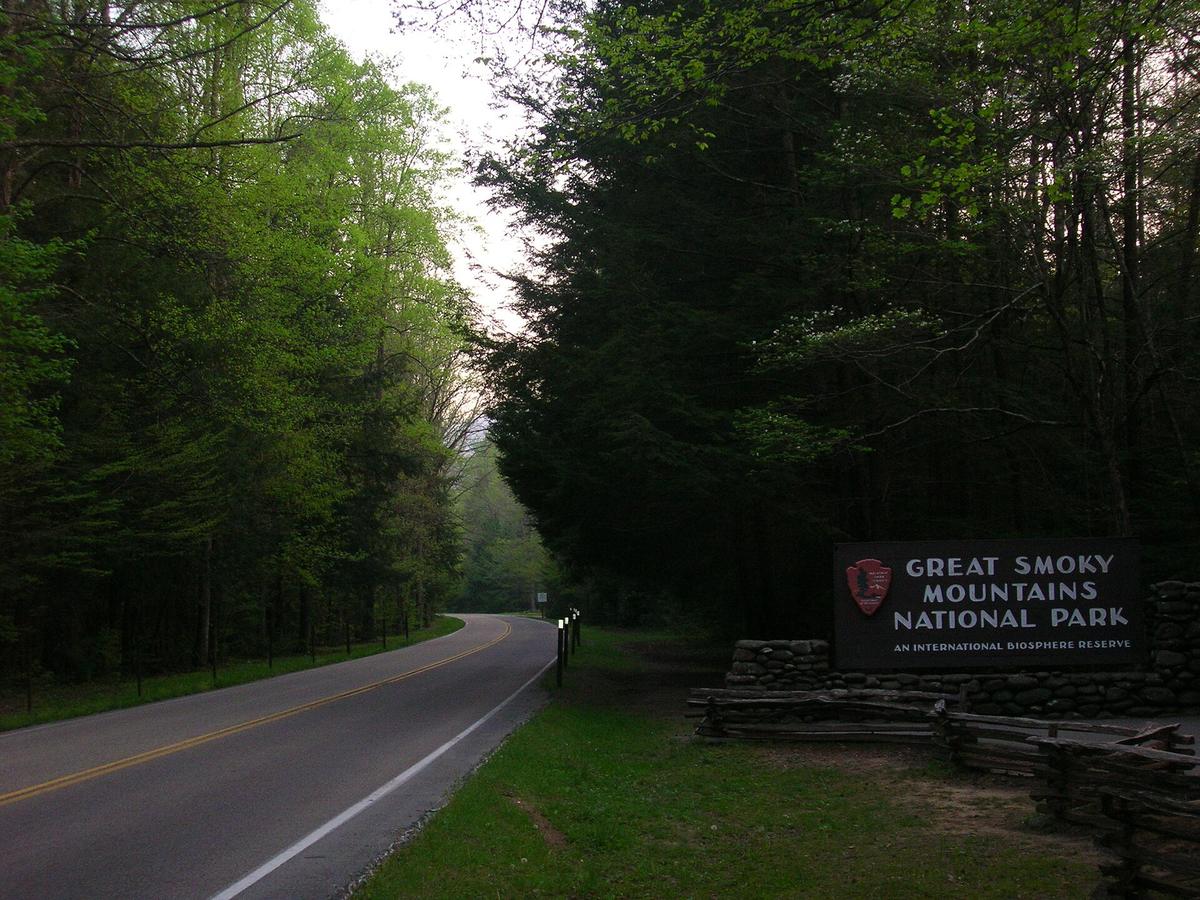
The Gatlinburg Bypass is a four-lane road that runs south of the downtown strip, connecting US 321 at the eastern edge of town to US 441 just above the park entrance. It saves you zero distance. It may save you 45 minutes. From Memorial Day through mid-October, the Parkway grinds to a stop at every intersection. The Bypass has no traffic lights, no pedestrians, and no taffy shops. Use it every time you move between your lodging and the park.
To find it: from the park entrance, stay on US 441 for about 0.3 miles north past the intersection with Ski Mountain Road. The Bypass entrance is on your left, signed as a state road. Coming from the east on US 321, you will hit the Bypass entrance about 0.5 miles before the Parkway. Memorize the turn. It is the difference between a 10-minute drive to Sugarlands and a 50-minute crawl.
The Hours That Actually Work
If you want to use the Parkway because your hotel is on it, arrive at the Sugarlands Visitor Center lot before 09:00. The lot fills by 09:30 on summer weekends and by 10:00 on weekdays. After that, staff start funneling cars to overflow on the shoulder of US 441, which means a quarter-mile walk to the trailhead kiosk. The least congested window is before 09:00 and after 20:00. If you are not at the trailhead by 08:30, you are racing the crowd.
For afternoon returns, the reverse is true. The surge out of the park hits between 16:00 and 18:00. The Bypass will not help you here because the bottleneck is the park entrance booth itself, not downtown Gatlinburg. Stay in the backcountry or on a long trail until 19:00. Come back to town after dinner hour and the Parkway is empty.
Roaring Fork: the Early Bird Workaround
The Roaring Fork Motor Nature Trail and its associated trailheads, including Rainbow Falls, sit 1.7 miles from downtown on Cherokee Orchard Road. This is the most efficient hike access from Gatlinburg by raw distance, but the gate at the bottom of Roaring Fork Road opens at 08:00 and closes when the lot fills, which is usually by 09:00 in high season. If you roll up at 09:15, you are turned away. No backup lot. No waiting line. You drive back down.
Arrive at the Cherokee Orchard Road intersection by 07:30. Park on the street near the entrance if the lot is already filling. The Rainbow Falls trail itself is a 2.7-mile climb with 1,685 feet of elevation gain, which is a genuine leg-burner. But the gate timing is relentless. You cannot outsmart it by coming later. You have to come early or skip this zone entirely. For afternoon alternatives, drive straight to Newfound Gap at 15.0 miles up US 441, where the lot is larger and turnover is higher because day hikers cycle through more quickly.
What About Alum Cave And Chimney Tops?
Alum Cave trailhead is 8.6 miles from Gatlinburg on US 441. Chimney Tops is 6.7 miles. Both lots fill by 08:30 on weekends and by 09:00 on weekdays. The Alum Cave lot is tight, maybe 80 spaces. Chimney Tops is slightly larger but the trail is 2.0 miles each way with 1,487 feet of gain, which draws a crowd. Your move: start your hike by 07:00 from Gatlinburg. That puts you at the trailhead by 07:15, which is before the wave. The Chimney Tops trail was fully rehabilitated as of 2026, so it is open and in good shape, not that the condition will matter if you cannot find a space.

Parking, Resupply, and the Rules You Cannot Ignore
The Tag You Must Buy
The park charges zero entry fee. But if you leave your vehicle longer than 15 minutes at any trailhead, you need a tag. The 2026 daily rate is $5, the weekly is $15, the annual is $40. Buy it online through recreation.gov before you leave home, or at the automated kiosks at major trailheads and visitor centers. Do not skip this. Rangers check aggressively at Alum Cave, Newfound Gap, and Clingmans Dome. The fine is more than the annual pass.
For resupply and gear, you have two spots in Gatlinburg. Food City at 1219 East Parkway is open 07:00 to 23:00 daily, which covers early starts and late returns. Grab your trail snacks and water there, not at the gas stations on the strip, which charge 40 percent more. The Nantahala Outdoor Center at 1138 Parkway sells fuel canisters, maps, and last-minute gear. Their hours as of 2026 were 09:00 to 20:00 Monday through Saturday and 10:00 to 18:00 Sunday, but verify before you depend on them, because those hours change seasonally.
The Back-Street Parking Locals Use
If you cannot find a spot at Sugarlands and do not want to circle the lot, try the residential streets off Cherokee Orchard Road east of the Parkway. Park legally in a marked space (not on a yard or blocking a driveway) and walk the 0.2 miles to the visitor center. The same strategy works for the Roaring Fork area on side streets along Baskins Creek Road. Do not leave your car on the Parkway itself, where tow trucks are visible at every intersection. The town enforcement is aggressive because revenue from citations is a major income source.
For Newfound Gap and Clingmans Dome, there is no local street workaround. Those lots are inside the park at 5,046 feet and 6,643 feet elevation, respectively, with no residential neighborhoods. Clingmans Dome Road closes annually from December 1 to March 31; in 2026 it reopened April 1. The observation tower is 45 feet tall and the trail to it is paved but steep. If you plan to hike the Appalachian Trail or Forney Ridge Trail from the Clingmans Dome area, arrive by 08:30 or you will leave your vehicle a mile down the road and hike uphill just to reach the trailhead.
The Townsend Option
Townsend, 22.0 miles west via Little River Road, has 550 residents and a population of black bears that outnumbers the people. Its IGA Market is open 07:00 to 21:00 daily. Little River Outfitters runs 08:00 to 18:00 Monday through Saturday, 08:00 to 17:00 Sunday. If your hiking plan centers on Cades Cove, Townsend is closer: 9.0 miles to the Cades Cove Loop Road entrance versus 22.0 miles from Gatlinburg. The Townsend approach also avoids the Gatlinburg strip entirely. But Townsend has fewer lodging options and no nightlife. If you need a motel pillow and a hot breakfast at 06:00, Gatlinburg delivers. If you are fine with a campground cot and a granola bar, Townsend is the saner base. Choose accordingly.
Common Questions
Do I need a backcountry permit for day hikes in the Smokies from Gatlinburg?
No. A backcountry permit is required only for overnight stays in the backcountry. Day hikers need a parking tag if they leave their vehicle for more than 15 minutes. The tag costs $5 for a day, $15 for a week, or $40 for an annual pass, and you can buy it online via recreation.gov or at visitor center kiosks.
Can I enter the park from Gatlinburg before the Sugarlands Visitor Center opens?
Yes. The park is open 24 hours a day. The visitor center building has set hours, but the road US 441 and the trailheads are accessible at any time. Arriving before 09:00 is the best way to beat the crowds.
Is there a shuttle from Gatlinburg to the Smoky Mountains trailheads?
The park does not operate an internal shuttle system from Gatlinburg. Private shuttle services exist in town, but they are seasonal and require advance booking. The most reliable method is your own vehicle, using the Gatlinburg Bypass to avoid strip traffic.
What happens if I hike past dark on a trail accessed from Gatlinburg?
That is permitted. The park does not close the trails at sunset. Carry a headlamp and know that lot gates are not locked overnight. The larger risk is driving the Parkway after dark, when deer and bear activity increases around the road shoulders.
How far in advance do I need to reserve a spot at Mount LeConte Lodge?
Reservations open October 1 for the following season. The lodge operates from late March through late November 2026 and caps overnight guests at approximately 60 per night. Spots sell out within hours of the reservation window opening. Book on October 1 or you will not get in.
Read next
-
 Southern Appalachians Winter Hiking What Stays Open and What Ices Over
Which Southern Appalachian trails stay open in winter, which roads ice over and close without warning, and how to hike safely when the Parkway shuts down.
Southern Appalachians Winter Hiking What Stays Open and What Ices Over
Which Southern Appalachian trails stay open in winter, which roads ice over and close without warning, and how to hike safely when the Parkway shuts down.
-
 Southern Appalachians Waterfall Hikes Worth the Drive and the Ones That Kill
The Southern Appalachian waterfall hikes that have killed people, the specific hazards on each trail, and safer nearby alternatives.
Southern Appalachians Waterfall Hikes Worth the Drive and the Ones That Kill
The Southern Appalachian waterfall hikes that have killed people, the specific hazards on each trail, and safer nearby alternatives.
-
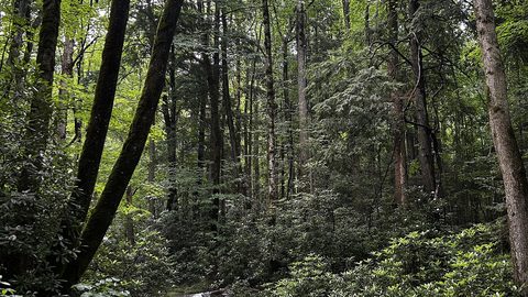 Smokies vs Blue Ridge Which Half of the Southern Appalachians Fits Your Week
Smokies or Blue Ridge for a one-week Southern Appalachians trip—how the two halves compare in crowds, terrain, towns, and daily logistics.
Smokies vs Blue Ridge Which Half of the Southern Appalachians Fits Your Week
Smokies or Blue Ridge for a one-week Southern Appalachians trip—how the two halves compare in crowds, terrain, towns, and daily logistics.
-
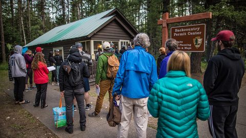 Southern Appalachian Permits and Reservations You Need to Book Ahead
Every Southern Appalachian permit and reservation you need to book ahead: Grandfather Mountain, Biltmore, Tallulah Gorge floor access, and backcountry quotas.
Southern Appalachian Permits and Reservations You Need to Book Ahead
Every Southern Appalachian permit and reservation you need to book ahead: Grandfather Mountain, Biltmore, Tallulah Gorge floor access, and backcountry quotas.