Climbing the Alum Cave Trail to Mount LeConte Without the Parking Nightmare
The Alum Cave trailhead lot fills before sunrise most of the year—here is where to park legally, when the shuttle runs, and what the climb to Mount LeConte actually demands.

Climbing the Alum Cave Trail to Mount LeConte Without the Parking Nightmare
The Alum Cave parking area holds roughly 25 vehicles. By 6:30 a.m. on a Saturday in October every space is taken. Rangers ticket cars left along Newfound Gap Road because the shoulder is narrow and the curve creates a blind hazard. Do not circle the lot for 40 minutes. Ride the Gatlinburg Trolley from downtown. Or park in the overflow pull-off 0.5 miles south and walk the paved shoulder back to the start. Do that and you skip the hardest part of the day before you take a single step.
- Destination: Mount LeConte summit (5.5 mi one way, 11.0 mi round trip) or Alum Cave Bluffs (2.3 mi one way, 4.6 mi round trip)
- Elevation gain: 2,763 ft (842 m) to summit; 1,120 ft to bluffs
- Trailhead elevation: 3,830 ft (1,167 m)
- Summit elevation: 6,593 ft (2,010 m)
- Hiking time: 6 to 9 hours round trip to summit; 3 to 4 hours to bluffs
- Parking capacity: ~25 vehicles at trailhead; ~15 at overflow pull-off 0.5 mi south
- Parking fill time (peak weekends): Before sunrise
- Parking fill time (peak weekdays): Early morning, often by 8:00 a.m.
- Shuttle option: Gatlinburg Trolley, seasonal late spring through fall
- Cable handrails: Steel cable anchored to rock, in two sections above the bluffs
- Winter traction needed: Microspikes or crampons, November through March
- LeConte Lodge season: Late March to late November; lottery opens October 1
Solve the Parking Problem First
The lot at the Alum Cave start fills before dawn on weekends from mid-May through October and by 8:00 a.m. on peak-season weekdays. Arriving at 7:30 a.m. and finding every space taken is routine, not bad luck. Do not park on Newfound Gap Road. Rangers patrol the section and the ticket costs more than the trolley fare. Drive past the full lot another 0.5 miles south to the marked overflow pull-off, which holds about 15 vehicles. From there walk the paved shoulder back to the start. Face traffic and wear a headlamp or bright clothing before sunrise.
The Gatlinburg Trolley runs a seasonal route to the Alum Cave stop, from late spring through fall. Catch it from the Gatlinburg Welcome Center or from designated stops along the Parkway. The trolley drops you directly at the departure point and solves the round-trip parking problem because you are not driving back to a car wedged on a shoulder. Check the current schedule before you go. The route is not daily and it ends in late autumn.
Weekday vs. Weekend Reality
A Tuesday in July means the lot fills by 8:00 a.m. A Saturday in October means it fills before dawn. The gap between those two scenarios is not small. Hike on a weekday and you get an extra hour of buffer and a far quieter trail. Must you hike on a weekend? Commit to arriving no later than 5:30 a.m. or commit to the trolley and the overflow lot. Do not arrive at 8:00 a.m. on a Saturday and expect to find room.
What To Do If The Lot Is Full And You Have No Backup Plan
Drive to the next trailhead on Newfound Gap Road. The Rainbow Falls Trailhead and the Chimney Tops Trailhead both have parking, and both offer strenuous hikes with serious elevation. Rainbow Falls runs 5.4 miles round trip with a 1,500-foot gain. Chimney Tops is 3.8 miles round trip with a 1,400-foot gain. Neither matches the scale of Alum Cave to Mount LeConte, but each delivers the same wet-rock, root-tangled Smokies experience without the parking stress.
| Landmark | Distance From Trailhead | Elevation | Elevation Gain |
|---|---|---|---|
| Trailhead | 0.0 mi | 3,830 ft | 0 ft |
| Arch Rock | 1.3 mi | 4,400 ft (approx.) | 570 ft |
| Alum Cave Bluffs | 2.3 mi | 4,950 ft | 1,120 ft |
| Mount LeConte summit | 5.5 mi | 6,593 ft | 2,763 ft |
What the Trail Actually Demands
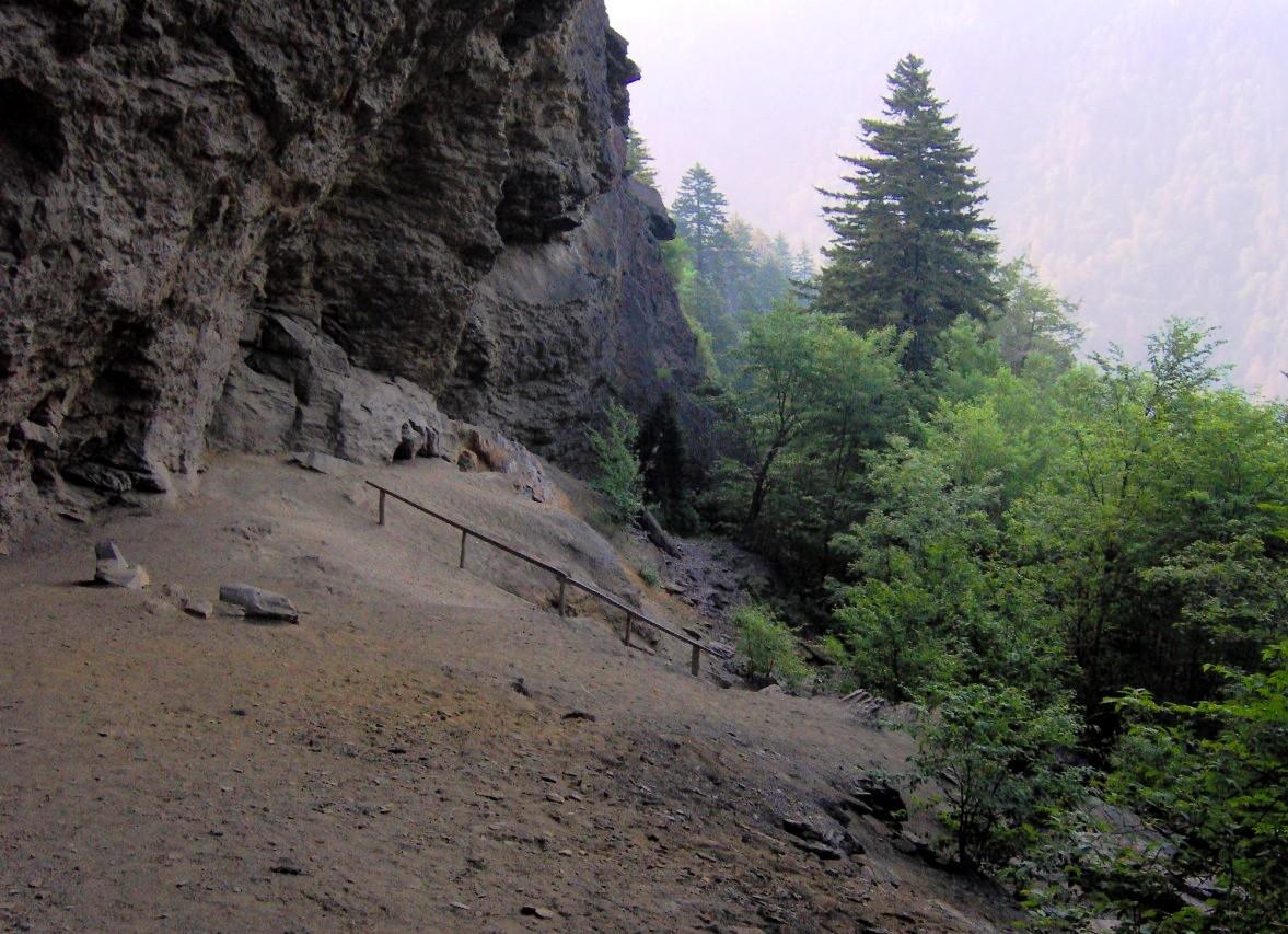
You gain 2,763 feet over 5.5 miles to the summit. That is not gradual. The first mile climbs through hardwood forest alongside Alum Cave Creek, crossing unbridged stream sections that turn hazardous after rain. At 1.3 miles you reach Arch Rock, a natural arch cut by erosion through black slate. The trail passes directly under it. The stone steps are slick even in dry weather. Past Arch Rock the grade steepens. At 2.3 miles you hit Alum Cave Bluffs, a concave overhang that is not a cave. The bluffs are a logical turn-around point if you started late or if the weather turns. From the bluffs the cable sections begin.
The Cable Sections
Two sections of steel cable anchored into rock protect the upper trail. The first appears soon after the bluffs. The second sits near the summit approach. Neither is technical climbing but both demand a solid grip, good boots, and no fear of exposure. The rock face beside the cable drops away steeply. In rain or ice the cables become mandatory. In winter, black ice and rime ice coat the rock and the steel itself. Microspikes or crampons are non-negotiable. Do not attempt the cables in icy conditions without traction aids. People fall here every winter.
Turning Around At The Bluffs Is Not Failure
The 4.6-mile round trip to the bluffs takes 3 to 4 hours and gives you Arch Rock, the bluff overhang, and a taste of everything the trail offers without the summit grind. Started at 8:00 a.m. after a parking scramble? The bluffs are the smart call. Sky gray and wet and you have no rain shell? The bluffs are the smart call. The view from the bluffs looks across the valley toward Mount LeConte and the ridge beyond. It is not a consolation prize. It is the sensible half of the hike.
LeConte Lodge
The lodge sits at 6,360 feet on the summit, with a capacity of roughly 60 guests per night. You cannot walk in and buy a meal or a bunk. The only way to stay is to win the online lottery, which opens October 1 each year for the following season. Enter between October 1 and October 31. There is no fee to enter. Win and you pay the full amount upon notification in early November. Cancellations appear online and sell within minutes on the waitlist. The lodge season runs late March through late November. Not staying at the lodge? The summit is public land. Eat your lunch at the picnic table outside. Do not count on lodge water or facilities.

Weather and Water on the Trail
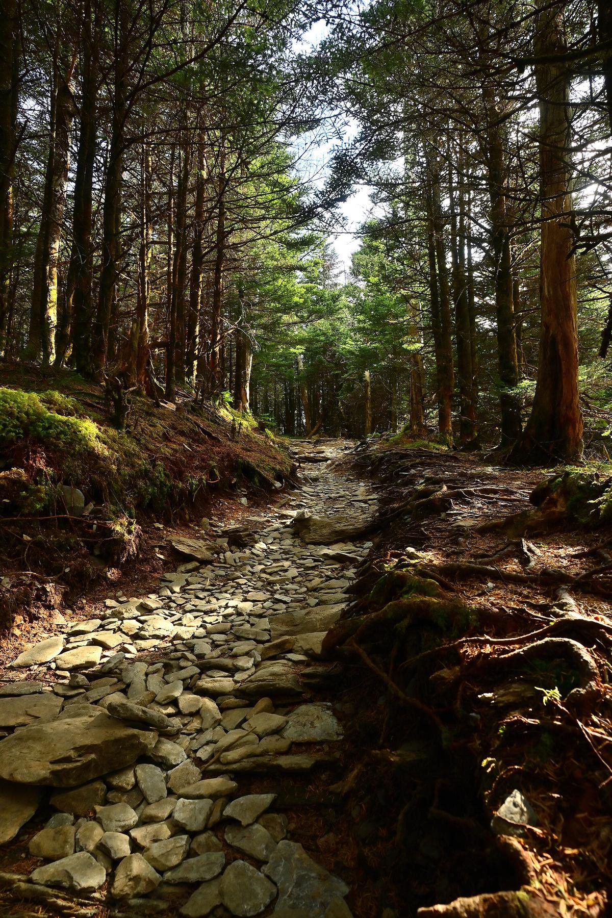
Higher elevations in the Smokies see precipitation on more than 200 days per year. Sun turns to sideways rain in 20 minutes. The trail surface is exposed rock and root. Both become slick the moment water hits. Alum Cave Creek crosses the trail multiple times in the first 1.5 miles. After a heavy rain those crossings rise fast. Never cross a stream moving above your knee. Turn around and do the bluffs. The bluff overhang itself can create a curtain of runoff that soaks the trail beneath it; you will get wet passing through. Pack a shell, pack a dry layer in a waterproof bag, and leave the cotton at home.
Cell service is zero on this trail. Your phone will not work from the departure point onward. Download offline maps on AllTrails or the NPS app before you leave your hotel or rental cabin. The road to the start from Gatlinburg is winding and slow. A 60-mile drive from Asheville takes 2 to 2.5 hours on Newfound Gap Road because of switchbacks, fog, and slow traffic behind RVs. Budget that time.
Common Questions
What time should I arrive to get parking at Alum Cave Trailhead?
On peak-season weekends, arrive before 5:30 a.m. On weekdays, before 8:00 a.m. The lot holds roughly 25 vehicles and fills before sunrise on Saturdays and Sundays in October and July.
Can I park on Newfound Gap Road if the lot is full?
No. Rangers ticket cars parked on the road shoulder because the curvature and narrow width create a blind hazard. Use the overflow pull-off 0.5 miles south or take the Gatlinburg Trolley.
Does the Gatlinburg Trolley run to the Alum Cave Trailhead?
Yes, seasonally from late spring through fall. Check the current schedule ahead of your trip because the route is not daily and stops running in late autumn.
How hard is the Alum Cave Trail to Mount LeConte?
Strenuous. The 11-mile round trip gains 2,763 feet. The grade is relentless, especially after the bluffs. Plan 6 to 9 hours. The 4.6-mile round trip to the bluffs is a strong alternative for a half-day hike.
Do I need special gear for the cable sections?
Not in dry weather. In rain or ice you need microspikes or crampons. Black ice and rime ice form on the cables and rock from November through March. Do not attempt the cables without traction aids.
Can I buy food or water at LeConte Lodge?
No. The lodge is for registered overnight guests only and has no public sales. Carry all your food and water. Filter or treat water from streams if you run out.
What is the best alternative if I cannot hike Alum Cave?
Rainbow Falls Trail or Chimney Tops Trail. Both start from Newfound Gap Road, both have their own parking, and both deliver steep elevation and classic Smokies terrain without the crowding.
Read next
-
 Chimney Tops Trail
The Chimney Tops Trail no longer reaches the rock pinnacles—the final scramble is closed permanently after the 2016 wildfire, and the trail ends at a lower observation deck.
Chimney Tops Trail
The Chimney Tops Trail no longer reaches the rock pinnacles—the final scramble is closed permanently after the 2016 wildfire, and the trail ends at a lower observation deck.
-
 Charlies Bunion
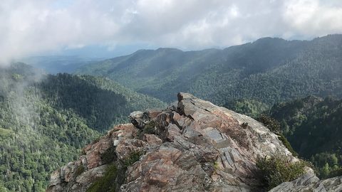
 delivers the best single-day Appalachian Trail experience in the Smokies—an 8-mile round-trip from Newfound Gap with ridgeline exposure and a rocky outcrop finish.
Charlies Bunion
Charlies Bunion delivers the best single-day Appalachian Trail experience in the Smokies—an 8-mile round-trip from Newfound Gap with ridgeline exposure and a rocky outcrop finish.
-
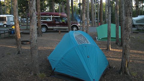 Where to Stay in the Southern Appalachians, From Backcountry Shelters to Roadside Motels
A guide to Southern Appalachian lodging: vintage Parkway motor courts, trail-town motels, cabin clusters, and backcountry shelters, with price bands and booking lead times.
Where to Stay in the Southern Appalachians, From Backcountry Shelters to Roadside Motels
A guide to Southern Appalachian lodging: vintage Parkway motor courts, trail-town motels, cabin clusters, and backcountry shelters, with price bands and booking lead times.
-
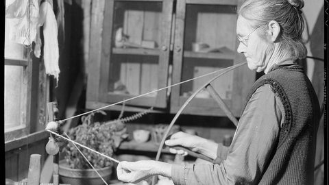 Southern Appalachians Trail Towns Where to Base Yourself and When to Camp Instead
Match your Southern Appalachians trip to the right trail town—compare Bryson City, Brevard, Hot Springs, Dahlonega, and more by activity, lodging type, and peak-season availability.
Southern Appalachians Trail Towns Where to Base Yourself and When to Camp Instead
Match your Southern Appalachians trip to the right trail town—compare Bryson City, Brevard, Hot Springs, Dahlonega, and more by activity, lodging type, and peak-season availability.
-
 Flying Into the Southern Appalachians, Airport by Airport
Compare AVL, TYS, and CLT airports for the Southern Appalachians: drive times, rental-car costs, and why a personal vehicle is non-negotiable.
Flying Into the Southern Appalachians, Airport by Airport
Compare AVL, TYS, and CLT airports for the Southern Appalachians: drive times, rental-car costs, and why a personal vehicle is non-negotiable.
-
 Best Time to Visit the Southern Appalachians for Trails and Quiet
Season-by-season timing for the Southern Appalachians, including mud-season trail closures, October leaf-peeper gridlock, and June rhododendron blooms.
Best Time to Visit the Southern Appalachians for Trails and Quiet
Season-by-season timing for the Southern Appalachians, including mud-season trail closures, October leaf-peeper gridlock, and June rhododendron blooms.
-
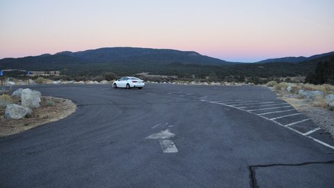 Getting Around the Southern Appalachians Without a Transit System
How to get around the Southern Appalachians when there is no transit, cell service drops, and GPS routes you onto impassable roads.
Getting Around the Southern Appalachians Without a Transit System
How to get around the Southern Appalachians when there is no transit, cell service drops, and GPS routes you onto impassable roads.
-
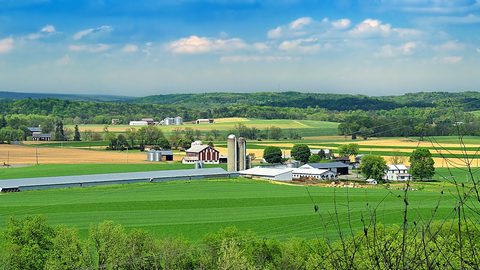 Your First Week in the Southern Appalachians Built Around Weather Not a List
-
 Blue Ridge and Pisgah
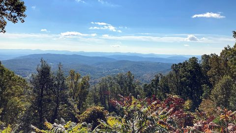
The Asheville and Pisgah side of the Southern Appalachians along the Blue Ridge Parkway, with waterfall loops, craft breweries, and Mount Mitchell.
Blue Ridge and Pisgah
The Asheville and Pisgah side of the Southern Appalachians along the Blue Ridge Parkway, with waterfall loops, craft breweries, and Mount Mitchell.