Why You Need a Car and a Paper Map in the Southern Appalachians
How to get around the Southern Appalachians when there is no transit, cell service drops, and GPS routes you onto impassable roads.
You Need a Car and a Paper Map
GPS dies in the first holler. Cell service drops to zero 10 miles outside any town. Your phone is a brick. The Southern Appalachians have no transit system, no train line, and no bus that climbs the ridges. You must rent a car. Rideshare stops working once you leave the Asheville city limits. Budget $50 per day minimum for a rental from Asheville Regional Airport (AVL), 20 minutes to downtown. If you fly into Hartsfield Jackson Atlanta (ATL), the drive to Blue Ridge is 2 hours. To Asheville it is 3 hours 15 minutes. Knoxville McGhee Tyson (TYS) gets you to Townsend in 30 minutes. Charlotte Douglas (CLT) is 2.5 hours to Boone. Every single one of those drives is on two-lane roads with switchbacks. You will not want to do them after dark.
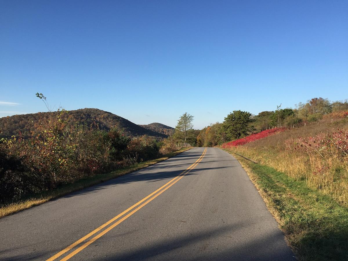
The Blue Ridge Parkway is the spine of this region but it closes without warning. Ice, fog, rock slides, a single fallen tree. Check the NPS real time road closure map every morning before you leave your lodging. Do not check it at noon. By noon you are already stuck. The Parkway speed limit is 45 mph. You will average 30. A 60 mile drive on the Parkway routinely takes 2 to 2.5 hours. Your navigation app will tell you it takes 1 hour 10 minutes. That app is lying. Set your GPS to paved roads only. If you let it choose the fastest route it will send you down a Forest Service road that is one and a half lanes wide, unpaved gravel and rock, impassable in a sedan with 5.5 inches of clearance. You need 8.0 inches of clearance for unmaintained Forest Service roads. If you drive a standard sedan onto those roads you will tear the undercarriage or get stuck in a mud hole with no cell service to call for help. Park the sedan at the pavement and walk.

The Navigation Kit You Must Carry
Download Before You Leave Wi Fi
Download offline Google Maps and AllTrails layers before you leave Wi Fi. Your phone is useless without them. Verizon and AT&T have the least bad coverage but even they drop to zero in deep coves and at most trailheads. T Mobile is nearly useless outside town limits. In Bryson City and Hot Springs, cafe Wi Fi is often satellite based and slow. Carry a DeLorme Gazetteer. It is a paper atlas of backroads. It works when your phone is dead. It shows which roads are paved and which are gravel. Your nav app will not tell you that US 441 through the Smokies closes for ice with no advance notice. The paper map shows the alternate route. Always have a non Parkway alternate route. Fill your gas tank at half a tank. There are 40 mile stretches without fuel on the Parkway and between small towns. The last gas station in Bryson City is before the road goes up. Do not assume there is one at the top.
Plan Your Drive Time and Dinner
Budget double the drive time your app estimates. A 40 mile drive on two lane mountain roads with 25 mph switchbacks, pull offs, and fog takes 90 minutes. After dark it is genuinely dangerous. Deer step onto the road. The fog drops to zero visibility. The road has no shoulder and no guardrail. If you are driving after 6 pm in November you are gambling. Arrive at your lodging by 4 pm. Plan dinner by 7 pm. Many restaurants close at 8:30 pm. In dry counties the craft brewery you drove to may only sell beer to go at a different county line. Some counties are fully dry. Others prohibit Sunday alcohol sales before noon. Check the county before you drive 45 minutes for a pint.
What You Need to Know About the Roads and Parking
Trailhead Parking Fills Early
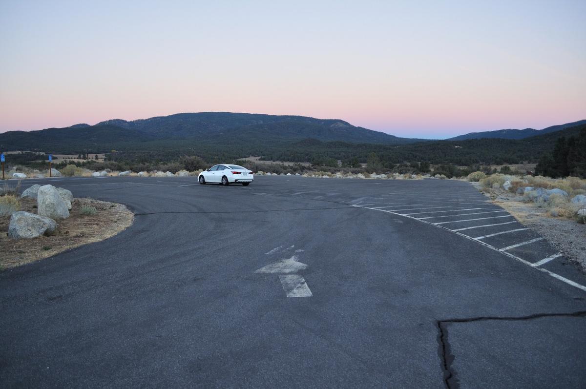
Trailhead parking fills early. At Great Smoky Mountains National Park, Alum Cave trailhead fills between 7:00 and 8:00 am. Laurel Falls fills by 8:00 to 9:00 am. Clingmans Dome fills by 9:00 to 10:00 am. Rainbow Falls fills by 7:30 to 8:30 am. At Max Patch on the Appalachian Trail, parking fills by 8:00 to 9:00 am. At Craggy Gardens on the Blue Ridge Parkway, parking fills by 9:00 to 10:00 am. If you arrive after those times you will park on the road shoulder and risk a ticket or a break in. Vehicle break ins are frequent at the Newfound Gap parking area, the Deep Creek and Big Creek trailheads, Nantahala Gorge pull offs, and the AT crossing at US 19E near Roan Mountain. Lock your valuables in your trunk or leave them at your lodging. Do not leave a bag visible on the seat.
Parking Tags and Fees
A parking tag is required in Great Smoky Mountains National Park. The daily rate is $5. The weekly rate is $15. The annual rate is $40. Buy it online before you arrive. Grayson Highlands State Park in Virginia charges $7 per vehicle. Unicoi State Park and Amicalola Falls State Park in Georgia each charge $5. Appalachian Trail trailheads on US Forest Service land do not require a tag. Blue Ridge Parkway trailheads do not require a tag.
Shuttles If You Cannot Drive
If you cannot drive, local shuttles exist but they cost $50 to $150 per trip depending on distance and number of passengers. A Walk in the Woods in Gatlinburg serves the Smokies and the AT section from Fontana Dam to Hot Springs. Standing Bear Hostel in Hartford, Tennessee covers the same AT section. Ron's Appalachian Trail Shuttle in Damascus, Virginia covers from Erwin, Tennessee to Grayson Highlands, Virginia. Mountain Trails Shuttles and Blue Ridge Hiking Company, both in Asheville, serve the Art Loeb Trail, the Mountains to Sea Trail, and the AT in North Carolina. The full shuttle list is maintained by the Appalachian Trail Conservancy at their website. Book these at least three days in advance. Do not assume same day availability.

Who Southern Appalachians Driving is for
Southern Appalachians driving is for hikers and backpackers who want serious elevation and do not mind earning the view. For motorcyclists and sports car drivers chasing technical roads with no traffic lights for 50 miles. For folk craft and traditional music pilgrims who will drive 90 minutes for a Friday night bluegrass set at Floyd Country Store. For leaf peepers willing to arrive by 7 am to get a parking spot at Cades Cove. For small town main street wanderers who prefer Bryson City over Gatlinburg and a 8 pm dinner at a meat and three over a tasting menu.
Southern Appalachians driving is not for people seeking luxury spas, fine dining, or nightlife. Dinner here ends by 8:30 pm and the hot tub is a motel indoor pool. Not for anyone with mobility limitations who cannot handle steep uneven terrain. Even scenic overlooks often require stairs and ungraded paths. Not for travelers who want to cover 100 miles in a day and see ten attractions. That plan fails on the third switchback when your gas gauge reads empty and the next station is 35 miles away on a road that just closed for fog.
Common Questions
What happens if the Blue Ridge Parkway closes while I am driving on it?
Exit at the nearest overlook or intersection. Do not stop in the travel lane. Use your paper map to find the nearest paved alternate route. The Parkway closes for ice, fog, and rock slides with zero notice. Always have a US highway or state road detour planned before you start driving.
Can I rely on Uber or Lyft outside Asheville?
No. Rideshare is unreliable once you leave the Asheville city limits. In Boone, Bryson City, Hot Springs, and Floyd you will wait 45 to 90 minutes for a car that may never come. If it does come, the surge price can exceed $100 for a 15 mile ride. Rent a car.
How do I find Forest Service road conditions before I drive one?
Call the USFS ranger district office for the area you are entering. They provide a daily update on road surface and clearance needs. Do not trust your GPS. A road marked as a through route on Google Maps may be a one and a half lane gravel track requiring 8 inches of clearance.
Where can I charge my phone if I am camping for three days?
You cannot. There is no power in backcountry campgrounds or at most trailheads. Carry a high capacity power bank. Charge it at your lodging before you leave. Asheville and Boone have solid fiber fed Wi Fi. Bryson City and Hot Springs cafe Wi Fi is satellite based and slow enough that uploading a photo takes five minutes.
Read next
-
 Where to Stay in the Southern Appalachians, From Backcountry Shelters to Roadside Motels
A guide to Southern Appalachian lodging: vintage Parkway motor courts, trail-town motels, cabin clusters, and backcountry shelters, with price bands and booking lead times.
Where to Stay in the Southern Appalachians, From Backcountry Shelters to Roadside Motels
A guide to Southern Appalachian lodging: vintage Parkway motor courts, trail-town motels, cabin clusters, and backcountry shelters, with price bands and booking lead times.
-
 Southern Appalachians Trail Towns Where to Base Yourself and When to Camp Instead
Match your Southern Appalachians trip to the right trail town—compare Bryson City, Brevard, Hot Springs, Dahlonega, and more by activity, lodging type, and peak-season availability.
Southern Appalachians Trail Towns Where to Base Yourself and When to Camp Instead
Match your Southern Appalachians trip to the right trail town—compare Bryson City, Brevard, Hot Springs, Dahlonega, and more by activity, lodging type, and peak-season availability.
-
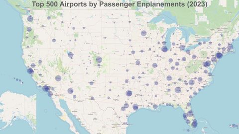 Flying Into the Southern Appalachians, Airport by Airport
Compare AVL, TYS, and CLT airports for the Southern Appalachians: drive times, rental-car costs, and why a personal vehicle is non-negotiable.
Flying Into the Southern Appalachians, Airport by Airport
Compare AVL, TYS, and CLT airports for the Southern Appalachians: drive times, rental-car costs, and why a personal vehicle is non-negotiable.
-
 Best Time to Visit the Southern Appalachians for Trails and Quiet
Season-by-season timing for the Southern Appalachians, including mud-season trail closures, October leaf-peeper gridlock, and June rhododendron blooms.
Best Time to Visit the Southern Appalachians for Trails and Quiet
Season-by-season timing for the Southern Appalachians, including mud-season trail closures, October leaf-peeper gridlock, and June rhododendron blooms.
-
 Your First Week in the Southern Appalachians Built Around Weather Not a List
-
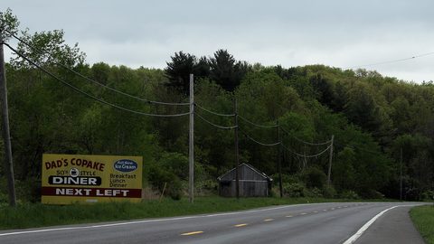 Southern Appalachian Food, From Trail Resupply to Meat-and-Three Plates
Practical food guide for the Southern Appalachians: where to eat after a hike, where to resupply, and what to expect when restaurants close by 8:30 p.m.
Southern Appalachian Food, From Trail Resupply to Meat-and-Three Plates
Practical food guide for the Southern Appalachians: where to eat after a hike, where to resupply, and what to expect when restaurants close by 8:30 p.m.
-
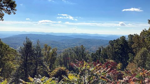 Blue Ridge and Pisgah
The Asheville and Pisgah side of the Southern Appalachians along the Blue Ridge Parkway, with waterfall loops, craft breweries, and Mount Mitchell.
Blue Ridge and Pisgah
The Asheville and Pisgah side of the Southern Appalachians along the Blue Ridge Parkway, with waterfall loops, craft breweries, and Mount Mitchell.
-
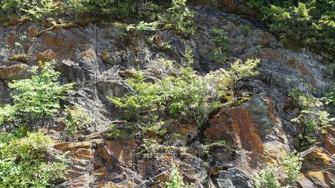 Great Smoky Mountains
A Great Smoky Mountains guide focused on quiet gateways like Bryson City and Townsend, dawn wildlife viewing at Cades Cove, and avoiding Gatlinburg crowds.
Great Smoky Mountains
A Great Smoky Mountains guide focused on quiet gateways like Bryson City and Townsend, dawn wildlife viewing at Cades Cove, and avoiding Gatlinburg crowds.
-
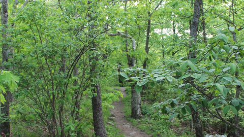 North Georgia
's quiet end of the Southern Appalachians, from Springer Mountain's AT start to Dahlonega's wine trail and Tallulah Gorge's permitted floor.
North Georgia
North Georgia's quiet end of the Southern Appalachians, from Springer Mountain's AT start to Dahlonega's wine trail and Tallulah Gorge's permitted floor.