Packing for Southern Appalachian Terrain That Is Steeper and Wetter Than Expected
Packing list for the Southern Appalachians, where 1,000-foot climbs come on short trails and weather flips from sun to sideways rain in 20 minutes.
.jpg)
Packing for Southern Appalachian Terrain That is Steeper and Wetter Than Expected
You pull into a trailhead at 2,000 feet on a warm August morning. Twenty minutes later you are gasping on a ridge in sideways rain, your cotton T-shirt soaked, your breath visible. That is the Southern Appalachians: the mileage on the sign is a lie about effort, and the weather app is a lie about conditions.
This packing list addresses three region-specific demands: brutal elevation gains on hikes under three miles, weather that flips from sun to horizontal rain inside 20 minutes, and the fact that even paved overlook paths like Clingmans Dome are steep and ungraded for long stretches. You have hiked in the Rockies and the Cascades. This is different. Here is what you carry.
Footwear: Trail Runners with Soft Rubber Outsoles, Not Hiking Boots
Why Boots Fail Here
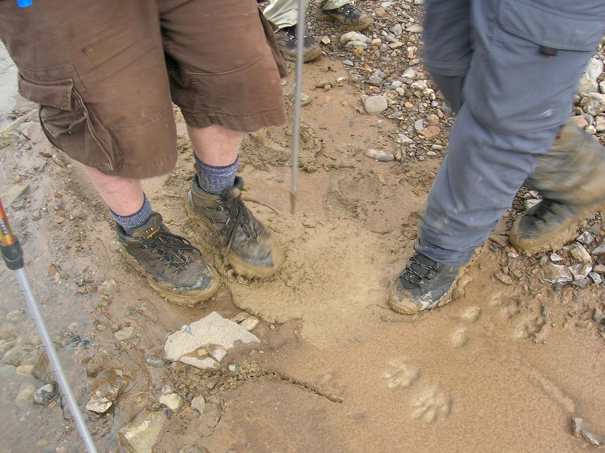
Skip leather boots. The Southern Appalachians deliver sustained wet on steep, rocky tread. You need a shoe with a soft rubber outsole in the Shore A durometer 40 to 60 range. That compound grips wet rock, root tangles, and the slick smear of decomposed granite on switchbacks. Combine it with a multi directional lug pattern 4 to 6 millimeters deep, widely spaced so mud releases instead of fusing into a slick platform.
Trail runners work because they drain, they dry in two hours on a porch, and they weigh under two pounds per pair. Boots hold water, take two days to dry in summer humidity above 90 percent, and the extra ankle support is unnecessary on trails that rarely exceed class 2 difficulty. The failure case: you wear boots with cotton socks. Your feet macerate. Blisters form within 10 miles. You spend day two in camp shoes hoping your feet recover.
Sock Choice Matters
Wear merino wool or synthetic socks. Cotton is a liability here for the same reason it kills in cold rain: once wet, it stays wet, and the temperature drops 3.3 to 5.4 degrees F per 1,000 feet of ascent. A 20 minute climb from valley to ridge means a 15 degree temperature swing. Cotton socks on that climb guarantee cold, wet feet by the time you reach the view.
Rain Gear: a Real Shell with Mechanical Venting, Not a Windbreaker
The Windbreaker Trap
A 20 dollar packable windbreaker fails here. Relative humidity on the ridgelines routinely exceeds 90 percent. At that level, non porous membranes like those in standard Gore Tex jackets stop venting internal moisture. You sweat inside them. You get as wet from your own body as from the falling rain.
Carry a mechanical vented rain shell or a non membrane softshell. Mechanical venting means pit zips, full zip front, and the ability to open the hem and cuffs. A parasitic softshell that sheds water through surface tension and dries fast works better than a membrane jacket that fogs from the inside. Test your shell before you leave: stand in a hot shower for five minutes wearing a fleece under it. If the fleece feels damp after, that jacket will fail you on a long day at Clingmans Dome.
Rain Pants: Decide Honestly
Rain pants are genuinely optional. Full zip side, 6 to 9 ounces. Only bring them if you plan to hike in sustained cold rain for hours. Otherwise, let your hiking pants dry out. They will, faster than you expect, because the breeze on a Southern Appalachian ridge moves air, even in a storm.
Layers for a 40 Degree Temperature Swing Between Valley and Ridge
Your base layer is merino wool or synthetic. No cotton. Not for the base, not for the mid, not for the socks. The temperature difference between a 2,000 foot trailhead and a summit like Mount Mitchell can exceed 20 degrees, and the difference between the windless cove and the exposed ridge adds another 20. That is a 40 degree swing in a single hike.
Carry a mid layer of 100 to 200 grams per square meter fleece or 60 to 90 grams per square meter synthetic fill. This goes on at the ridge, comes off twenty minutes later in the valley, goes back on when the sun disappears again. Pair it with an ultralight down or synthetic puffy at 2.5 to 3.5 ounces of fill weight. That puffy is your emergency layer. Pull it on when you stop for lunch on a 50 degree ridge where the wind hits 25 miles per hour and your fleece alone is not enough.
Navigation Backup When Cell Service Dies
Digital Prep Before You Leave Wi-Fi
Cell service vanishes inside every gap and holler. Verizon and AT&T have the least bad coverage, but even they drop to zero on most trailheads and deep coves. T Mobile is nearly useless outside town limits. GPS and streaming die the moment you enter a gap. Download offline Google Maps and AllTrails layers before you leave Wi Fi.
The Paper Map That Saves You
Carry a paper DeLorme Gazetteer. Many GPS apps route you onto unpaved Forest Service roads that are impassable in a sedan. Set your navigation to paved roads only. Also carry a power bank. Even with offline maps, your phone battery drains faster than you expect when you are checking position repeatedly in terrain where the trail junction is unmarked.
The failure case: you follow GPS directions onto a gravel road that turns to mud after 30 minutes. You are in a sedan. The road gets narrower. You cannot turn around. You sit there for an hour waiting for another car that never comes. The paper map shows the paved alternate 12 miles back. That is why you carry it.
Water and Trekking Poles: Non Negotiable
Water: Filter Everything
Carry 0.5 to 1.0 liters of water per person. That sounds low for a full day hike. It works because stream density is high across the Southern Appalachians. You will cross water regularly. Filter it through a 0.1 to 0.2 micron pore size filter. Carry chlorine dioxide tablets as a backup. Do not drink untreated water even from a clear mountain stream. Giardia is real here.
Poles: Your Knees Demand Them
Trekking poles are mandatory. Three section collapsible, mud and snow baskets 60 to 85 millimeters in diameter, replaceable carbide tips 8 to 10 millimeters. The steep descents on trails like the Grandfather Mountain profile or the Linville Gorge rim are where knees give out. Poles save your knees and provide the third and fourth contact points on wet rock where your shoes slip. Do not skip them.
.jpg)
| Shell Type | How It Handles >90% RH | Weight (oz) | When To Use It |
|---|---|---|---|
| Membrane rain shell (e.g. Gore Tex) | Fails to vent internal moisture; you sweat inside | 10 16 | Only in downpours below 60 degrees F, with pit zips fully open |
| Non membrane softshell | Sheds water via surface tension; dries fast | 8 12 | Primary shell for 90% of days; works in drizzle and mist |
| Mechanical vented rain shell | Pit zips, full zip, open cuffs dump heat | 6 10 | Best for high exertion climbs where you generate heat faster than any membrane can move it |
Optional Items You Can Leave at Home
Insect repellent varies with season and elevation. In July at 6,000 feet, you may not need it. In May at 2,000 feet in a damp cove, you need it badly. Sunscreen SPF 30 plus also varies with canopy cover. On the forested trails below 4,000 feet, you barely need it. On the balds at Max Patch and Roan Mountain, you burn in 30 minutes. Pack both, but in small containers.
Camp shoes, 2 to 6 ounces, and gaiters, 2 to 4 ounces, are genuinely optional. Only bring camp shoes if you plan to change out of wet hiking shoes once you are done for the day. Only bring gaiters if you are hiking muddy trails after rain. Otherwise, skip them and save the weight.
The Most Common Mistake: Underestimating Drive Times
Visitors see a 60 mile distance and budget one hour. On two lane mountain roads with 25 mile per hour switchbacks, fog, pull offs, and slow traffic, that same distance routinely takes two to 2.5 hours. Doing it after dark is genuinely dangerous. The winding roads turn a 40 mile drive into 90 minutes of white knuckle switchbacks. Add the 30 minute bear jam that stops all cars when a black bear is spotted on the road edge. Rangers issue tickets for stopping in travel lanes, but enforcement is thin and the traffic does not move anyway.
The single thing that most often goes wrong here is this: you pack the right gear but you do not budget the driving time. You miss the trailhead by sunset. You end up driving the Blue Ridge Parkway in fog after dark. Do not let that be you. Plan your drives with 25 minutes added per 10 miles of two lane road. Then it might be accurate.
Common Questions
Can I wear hiking sandals instead of boots or trail runners?
No. Sandals provide zero protection from wet rock, roots, and the random streambed crossing that turns into a slip hazard. The terrain demands a closed toe shoe with aggressive tread. Trail runners or approach shoes are the minimum.
Do I need gaiters for a day hike?
Genuinely optional at 2 to 4 ounces. They keep grit and mud out of your shoes on wet, loose trails. Bring them if you are hiking after rain or on steep descents where you kick debris. Skip them for dry ridge walks.
What do I do when the Blue Ridge Parkway closes without warning?
Have a non parkway alternate route planned before you drive. Check the NPS real time road closure map each morning. The Parkway and US 441 through the Smokies close for ice, fog, or rock slides with zero notice. A 40 minute detour keeps you moving.
How do I charge electronics in towns with slow satellite Wi Fi?
Bring a power bank with at least 10,000 mAh. Asheville and Boone have solid fiber fed Wi Fi in coffee shops. In Bryson City and Hot Springs, cafe Wi Fi is often satellite based and slow. Download everything before you leave those towns.
Read next
-
 Southern Appalachians Winter Hiking What Stays Open and What Ices Over
Which Southern Appalachian trails stay open in winter, which roads ice over and close without warning, and how to hike safely when the Parkway shuts down.
Southern Appalachians Winter Hiking What Stays Open and What Ices Over
Which Southern Appalachian trails stay open in winter, which roads ice over and close without warning, and how to hike safely when the Parkway shuts down.
-
 Southern Appalachians Waterfall Hikes Worth the Drive and the Ones That Kill
The Southern Appalachian waterfall hikes that have killed people, the specific hazards on each trail, and safer nearby alternatives.
Southern Appalachians Waterfall Hikes Worth the Drive and the Ones That Kill
The Southern Appalachian waterfall hikes that have killed people, the specific hazards on each trail, and safer nearby alternatives.
-
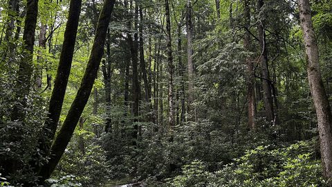 Smokies vs Blue Ridge Which Half of the Southern Appalachians Fits Your Week
Smokies or Blue Ridge for a one-week Southern Appalachians trip—how the two halves compare in crowds, terrain, towns, and daily logistics.
Smokies vs Blue Ridge Which Half of the Southern Appalachians Fits Your Week
Smokies or Blue Ridge for a one-week Southern Appalachians trip—how the two halves compare in crowds, terrain, towns, and daily logistics.
-
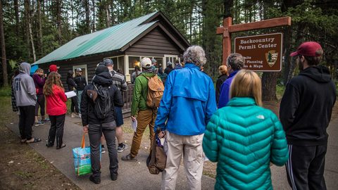 Southern Appalachian Permits and Reservations You Need to Book Ahead
Every Southern Appalachian permit and reservation you need to book ahead: Grandfather Mountain, Biltmore, Tallulah Gorge floor access, and backcountry quotas.
Southern Appalachian Permits and Reservations You Need to Book Ahead
Every Southern Appalachian permit and reservation you need to book ahead: Grandfather Mountain, Biltmore, Tallulah Gorge floor access, and backcountry quotas.