Navigating the Great Smoky Mountains Without Gatlinburg's Neon Chaos
A Great Smoky Mountains guide focused on quiet gateways like Bryson City and Townsend, dawn wildlife viewing at Cades Cove, and avoiding Gatlinburg crowds.
- Flag
-

- ISO code
- US
- Currency
- USD
- Timezone
- America/New_York
Navigating the Great Smoky Mountains Without Gatlinburg’s Neon Chaos
Pick A Smarter Gateway
You want the mist-on-ridgeline silence and the 850 miles of trail. You do not want the bumper-to-bumper crawl through Gatlinburg or the three-hour loop around Cades Cove at noon. The answer is simple: rewrite your gateway. Skip Gatlinburg entirely. Base yourself in Bryson City, North Carolina, or Townsend, Tennessee, and you cut your time spent in traffic by hours each day. The Great Smoky Mountains National Park is the most visited in America for a reason. 12.9 million people came in 2023, and the vast majority entered through the Tennessee side. But the park itself is 522,427 acres. The crowds cluster in three places: the Newfound Gap Road corridor, Cades Cove, and the trailheads within a 15-minute drive of Gatlinburg. Everywhere else holds a fraction of the pressure.
Pay With Patience, Not Cash
There is no entrance fee. A deed restriction from the 1930s prevents it. What you pay is patience if you time it wrong. A parking tag costs $5 for a day, $15 for a week, or $40 for the year. Display it for any stop over 15 minutes. That tag buys you access to 150 official trails, 71.4 miles of the Appalachian Trail, and a UNESCO World Heritage Site designated in 1983. But the park does not care about your itinerary. US 441, the 33-mile Newfound Gap Road that bisects the park, closes without warning for ice, fog, or rock slides. The Blue Ridge Parkway does the same. You need a backup route saved on a paper map. Cell service dies the moment you enter a gap or holler. Verizon and AT&T have the least bad coverage. T-Mobile is nearly useless outside town limits. Download offline Google Maps and AllTrails layers before you leave your lodging.
Parking Dictates The Day
Arrive by 08:30 at any popular trailhead or you will be parking half a mile down the road. The Alum Cave Trail lot, which serves the Mount LeConte hike, fills before sunrise in peak season. The Laurel Falls lot holds 30 cars and fills by mid-morning. Rainbow Falls holds 50. Plan your day around the parking, not the other way around.

The Two Gateways That Save Your Trip
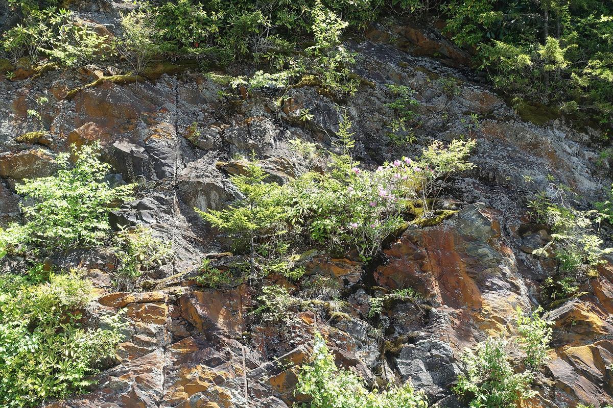
Bryson City and Townsend are not secret. Locals know them. But relative to Gatlinburg, they feel abandoned. Bryson City sits on the North Carolina side, 15 to 30 minutes from trailheads in the park's quieter southern half. Townsend, on the Tennessee side northwest of the park, calls itself the peaceful side of the Smokies and earns it. Both have small motels, diners that close by 8:30 PM, and zero nightlife. That is the point. You are here for the range, not a hot tub.
From Bryson City you reach the Deep Creek area, the Noland Creek Trail, and the Lakes View Trail without ever touching US 441. From Townsend you are a 15-minute drive from the Cades Cove loop road. That means you can arrive before the gridlock starts. Do that. Cades Cove is an 11-mile one-way loop that sees roughly 2 million vehicles per year. Between June and October, the average travel time during peak hours, 10 AM to 4 PM, runs 2 to 4 hours. Arrive at the entrance gate by 07:00 and you complete the loop in under 90 minutes with white-tailed deer, black bear, and wild turkey along the way. On Wednesdays from May through September, the road is vehicle-free until 10:00 AM. Bike it or walk it. That is the single best wildlife experience in the park.
Where the Crowds Are and Where They Are Not
The Geography Of Pressure
The most crowded areas of the park are Cades Cove and the Newfound Gap Road corridor. The least crowded area is Cataloochee Valley on the North Carolina side. January and February see the fewest visitors. July and October bring the worst. October's second and third weeks are peak leaf-peeping season, and Saturday is the peak day. If you come then, you accept crowds. If you come in July, you accept crowds and humidity. The way to win is to climb.
Short hikes in the Smokies mean 1,000-foot elevation gains. The terrain is demanding. Clingmans Dome is the highest point in the park at 6,643 feet and the highest point on the Appalachian Trail. The access road from Newfound Gap is 7 miles long and opens April 1 through November 30. The trail from the parking lot is a paved half-mile ramp with a 332-foot elevation gain and a 13% average grade. It is steep but doable for most people. The observation tower at the top is 45 feet high. Arrive by 09:00 or the parking lot overflows and you walk an extra mile from the road.
When To Skip The Famous View
Clingmans Dome is famous. It is also often socked in cloud. Go early in the morning for the best chance at a clear view. If the weather is bad, skip it and drive to Newfound Gap at 5,046 feet, where the state line divides Tennessee and North Carolina. The walk to the overlook is short, and the parking lot is larger. It fills later than Clingmans Dome.
How to Move Through the Mountains Without Losing Your Day
Drive Times Are Not What You Expect
The single biggest mistake visitors make is underestimating drive times. A 60-mile distance on these two-lane roads with 25 mph switchbacks, pull-offs, and fog routinely takes 2 to 2.5 hours. Doing it after dark is genuinely dangerous. Fill your gas tank at half a tank. There are stretches of 40 miles or more without fuel, especially on the Blue Ridge Parkway and between small towns. GPS apps often route you onto unpaved Forest Service roads that are impassable in a sedan. Carry a paper DeLorme Gazetteer and set your navigation to paved roads only.
Bear jam traffic is part of the experience. A black bear sighting stops all cars for half an hour. Rangers ticket drivers who stop in travel lanes, but enforcement is thin. If you see a bear, pull fully into a pull-off or keep driving. Stopping in the road is why the jams form.
Eat Where The Locals Eat
Dry counties and blue laws complicate dining. Some counties are fully dry. Others prohibit Sunday alcohol sales before noon. The craft brewery you drove to may only sell beer to go in a different county line. Check before you go. The food worth seeking out includes trout smoked or cornmeal-fried, caught that morning, served in Brevard and Cherokee. Ramp festivals in April and May serve wild-leek hamburgers and ramp-and-potato plates. Pimento cheese burgers appear in Asheville and Boone breweries. Fried green tomato BLTs use heirloom tomatoes from Henderson County farms in summer. Livermush, a Piedmont-to-mountains breakfast slab fried crisp, shows up at local meat-and-threes. Soup beans slow-cooked with fatback and served with skillet cornbread is a Tuesday special at country buffets. Stack cakes, a dried-apple-butter layered cake, appear at mountain stores.
Give It Enough Time
The minimum time to give the park is 5 days. Less than that and you spend all your time connecting dots in the car without ever feeling the rhythm of the place. If you have only 3 days, skip the Blue Ridge Parkway and focus on the park itself. The Parkway is the spine, but it closes for ice and fog without warning. Check the NPS real-time road closure map every morning before you drive.

Before You Go, Accept the Trade Off
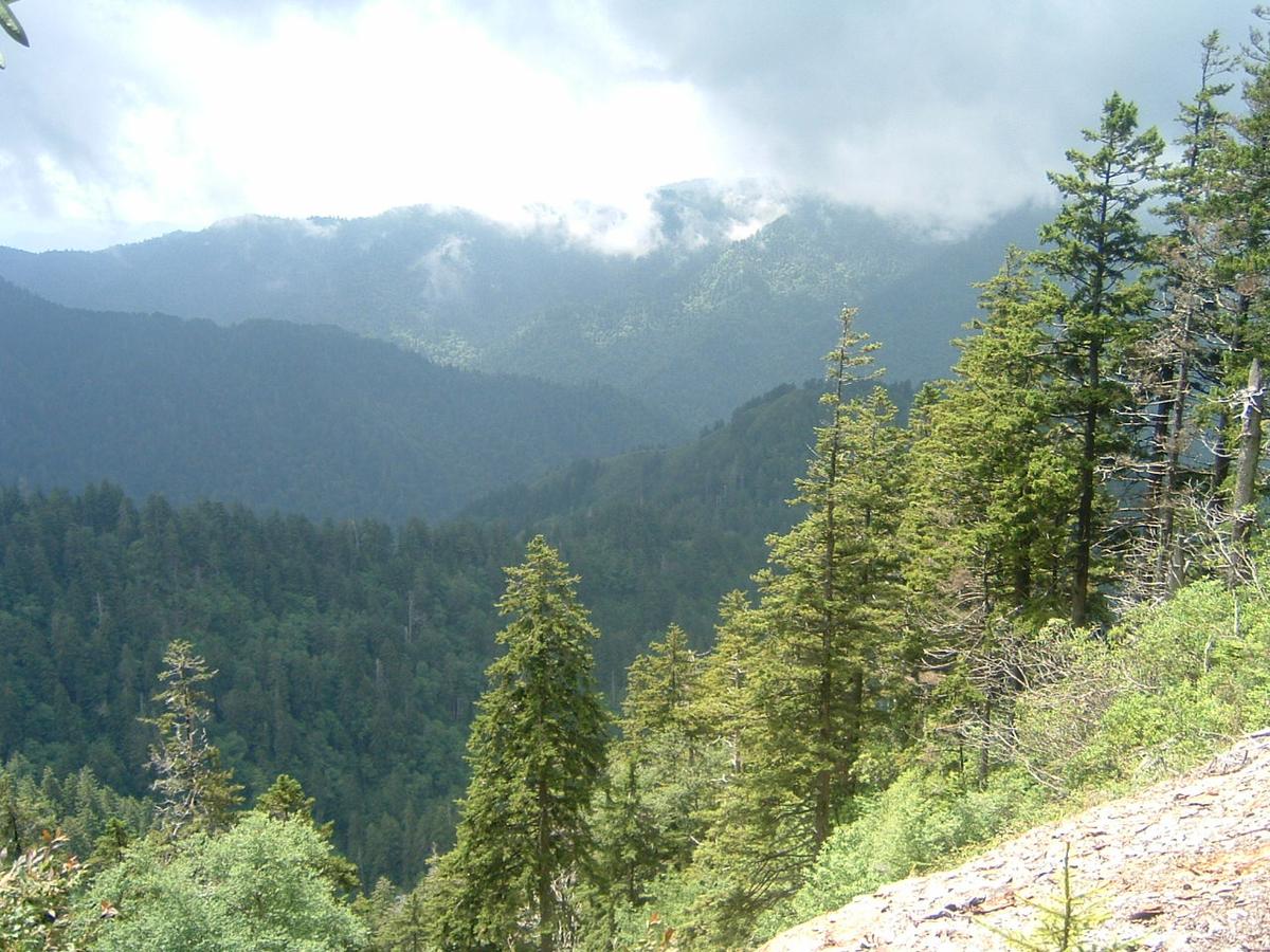
The Great Smoky Mountains are not a place you conquer in a weekend. They force you to slow down, to accept that a 40-mile drive takes 90 minutes, that a short hike involves a 1,000-foot climb, and that the weather can flip from sun to sideways rain in 20 minutes. The park does not care about your schedule. That is the honest caveat. If you want luxury spas, fine dining, or nightlife, go elsewhere. The Smokies are a wet-county patchwork where dinner often ends by 8:30 PM and the hot tub is a motel indoor pool. But if you want serious elevation, hard hikes that earn their views, and the kind of quiet that only comes from being 2 miles up a trailhead that filled before sunrise, those are here. You just have to dodge the crush to find them.
More destinations in the Southern Appalachians
What to See in Great Smoky Mountains
-
 Alum Cave Trail to Mount LeConte
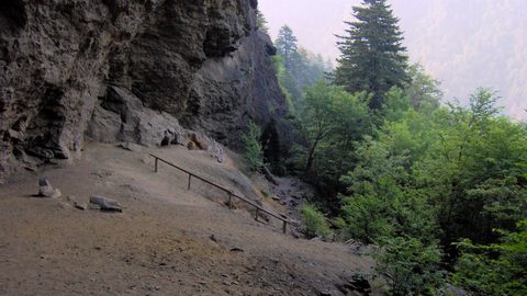
The Alum Cave trailhead lot fills before sunrise most of the year—here is where to park legally, when the shuttle runs, and what the climb to Mount LeConte actually demands.
Alum Cave Trail to Mount LeConte
The Alum Cave trailhead lot fills before sunrise most of the year—here is where to park legally, when the shuttle runs, and what the climb to Mount LeConte actually demands.
-
 Chimney Tops Trail
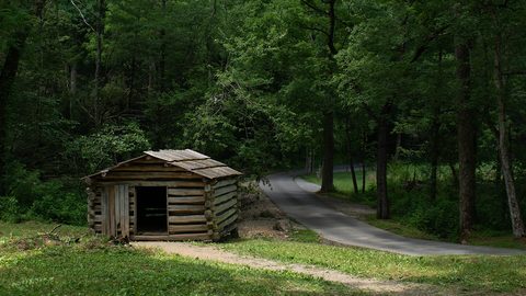
The Chimney Tops Trail no longer reaches the rock pinnacles—the final scramble is closed permanently after the 2016 wildfire, and the trail ends at a lower observation deck.
Chimney Tops Trail
The Chimney Tops Trail no longer reaches the rock pinnacles—the final scramble is closed permanently after the 2016 wildfire, and the trail ends at a lower observation deck.
-
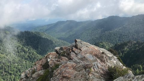 Charlies Bunion
 delivers the best single-day Appalachian Trail experience in the Smokies—an 8-mile round-trip from Newfound Gap with ridgeline exposure and a rocky outcrop finish.
Charlies Bunion
Charlies Bunion delivers the best single-day Appalachian Trail experience in the Smokies—an 8-mile round-trip from Newfound Gap with ridgeline exposure and a rocky outcrop finish.
Frequently Asked Questions
Do I need a reservation to enter Great Smoky Mountains National Park?
No reservation is needed to enter. There is no entrance fee. You do need a parking tag for any stop over 15 minutes: $5 for a day, $15 for a week, or $40 for a year. You can buy it online or at visitor centers. The synchronous firefly event at Elkmont in late May to early June requires a lottery parking pass, but that is a separate process.
Which airport should I fly into?
Asheville Regional Airport (AVL) is 25 minutes from downtown Asheville with rental cars from $50 per day but no public transit into the mountains. McGhee Tyson Airport (TYS) near Knoxville is 45 minutes from Townsend with rental cars from $45 per day. Charlotte Douglas (CLT) is 2.5 hours from Boone with rental cars from $40 per day. Rent a car. Rideshare is unreliable once you leave Asheville city limits.
Is the park suitable for someone with mobility limitations?
No. This is a poor fit for anyone who cannot handle steep, uneven terrain. Even scenic overlooks often require stairs and ungraded paths. The paved trail to Clingmans Dome is the most accessible major attraction, but it has a 332-foot elevation gain over half a mile at a 13% grade. Most other trails involve significant elevation change and rocky surfaces.
When is the best time to avoid crowds?
January and February have the lowest visitation. If you want good weather and lower crowds, come in late April or early May after mud season, or in September before the October leaf-peeping crowds. Avoid July and October weekends entirely. The week of July 4 fills every campground and pull-off by Thursday. Mid-March through early April is mud season when many trails close to prevent erosion and the weather alternates between sleet and 45-degree drizzle.
Can I drive the Blue Ridge Parkway in my sedan?
Yes, the Parkway is paved and maintained for standard vehicles. The problem is that GPS apps sometimes route you off the Parkway onto unpaved Forest Service roads that are impassable in a sedan. Set your navigation to paved roads only and carry a paper DeLorme Gazetteer. The Parkway itself closes without warning for ice, fog, or rock slides. Always have a non-Parkway alternate route saved.
Read next
-
Alum Cave Trail to Mount LeConte
The Alum Cave trailhead lot fills before sunrise most of the year—here is where to park legally, when the shuttle runs, and what the climb to Mount LeConte actually demands.
-
Chimney Tops Trail
The Chimney Tops Trail no longer reaches the rock pinnacles—the final scramble is closed permanently after the 2016 wildfire, and the trail ends at a lower observation deck.
-
Charlies Bunion
Charlies Bunion delivers the best single-day Appalachian Trail experience in the Smokies—an 8-mile round-trip from Newfound Gap with ridgeline exposure and a rocky outcrop finish.
-
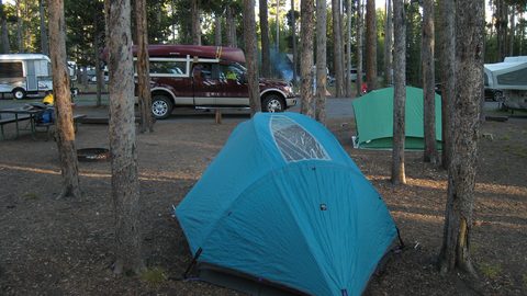 Where to Stay in the Southern Appalachians, From Backcountry Shelters to Roadside Motels
A guide to Southern Appalachian lodging: vintage Parkway motor courts, trail-town motels, cabin clusters, and backcountry shelters, with price bands and booking lead times.
Where to Stay in the Southern Appalachians, From Backcountry Shelters to Roadside Motels
A guide to Southern Appalachian lodging: vintage Parkway motor courts, trail-town motels, cabin clusters, and backcountry shelters, with price bands and booking lead times.
-
 Southern Appalachians Trail Towns Where to Base Yourself and When to Camp Instead
Match your Southern Appalachians trip to the right trail town—compare Bryson City, Brevard, Hot Springs, Dahlonega, and more by activity, lodging type, and peak-season availability.
Southern Appalachians Trail Towns Where to Base Yourself and When to Camp Instead
Match your Southern Appalachians trip to the right trail town—compare Bryson City, Brevard, Hot Springs, Dahlonega, and more by activity, lodging type, and peak-season availability.
-
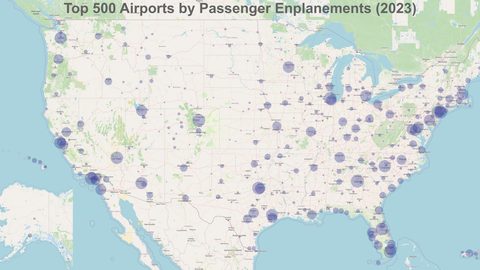 Flying Into the Southern Appalachians, Airport by Airport
Compare AVL, TYS, and CLT airports for the Southern Appalachians: drive times, rental-car costs, and why a personal vehicle is non-negotiable.
Flying Into the Southern Appalachians, Airport by Airport
Compare AVL, TYS, and CLT airports for the Southern Appalachians: drive times, rental-car costs, and why a personal vehicle is non-negotiable.
-
 Best Time to Visit the Southern Appalachians for Trails and Quiet
Season-by-season timing for the Southern Appalachians, including mud-season trail closures, October leaf-peeper gridlock, and June rhododendron blooms.
Best Time to Visit the Southern Appalachians for Trails and Quiet
Season-by-season timing for the Southern Appalachians, including mud-season trail closures, October leaf-peeper gridlock, and June rhododendron blooms.
-
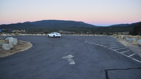 Getting Around the Southern Appalachians Without a Transit System
How to get around the Southern Appalachians when there is no transit, cell service drops, and GPS routes you onto impassable roads.
Getting Around the Southern Appalachians Without a Transit System
How to get around the Southern Appalachians when there is no transit, cell service drops, and GPS routes you onto impassable roads.
-
 Your First Week in the Southern Appalachians Built Around Weather Not a List