Reaching Charlies Bunion via the Appalachian Trail from Newfound Gap
Charlies Bunion delivers the best single-day Appalachian Trail experience in the Smokies—an 8-mile round-trip from Newfound Gap with ridgeline exposure and a rocky outcrop finish.
.jpg)
Reaching Charlies Bunion Via the Appalachian Trail from Newfound Gap
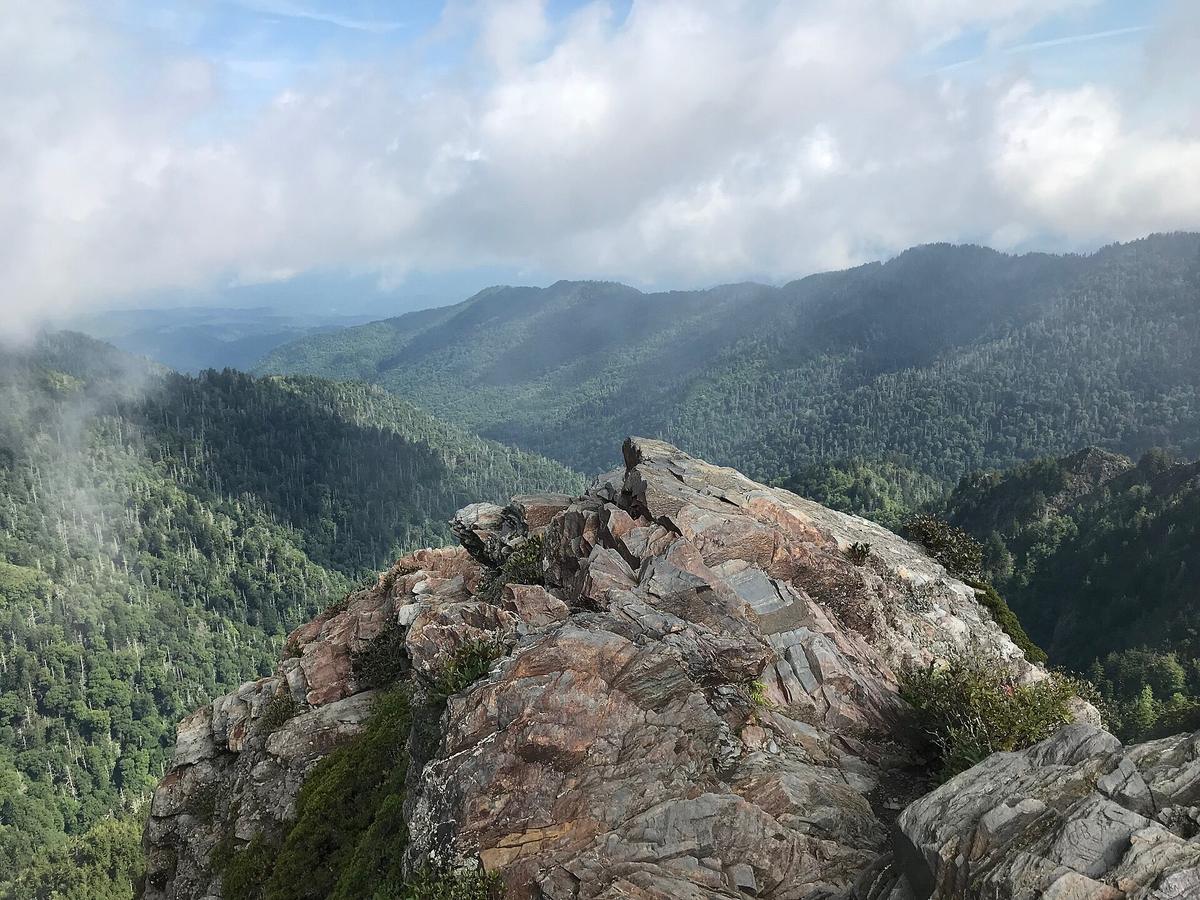
The fog lifts just long enough for you to see the drop. You are standing on a naked rock outcrop, 200 feet of sheer north face falling away at your boots. The entire ridge behind you has been a spine of grass, stone, and sky. This is Charlies Bunion, and the 8 mile round trip that gets you here is the best single day introduction to the Appalachian Trail inside Great Smoky Mountains National Park.
This is not a casual stroll. It is a high ridge walk that demands respect for weather that changes faster than you can zip a jacket. You start at Newfound Gap, elevation 5,046 feet, and you end at 5,565 feet. The net climb is only 519 feet, but the trail rolls over multiple small rises. Round trip you gain roughly 1,600 feet. That is a serious day for an 8 mile hike, and the exposure on the ridge means every step matters.
What you get for that effort is a sampler of everything the AT delivers: ridgeline walking with drop offs on both sides, a backcountry hut stop, a short rock scramble for the finale, and the constant awareness that you are walking the North Carolina/Tennessee state line the entire way. The whole route follows that border. Fog rolls in fast, often by late morning. The temperature on the crest can be 20 degrees colder than in Gatlinburg, twenty miles away and a mile lower. Pack for winter even in July.
- Trailhead: Newfound Gap
- Trail: Appalachian Trail (AT)
- Distance: 8.0 miles round trip (12.9 km)
- One way distance: 4.0 miles (6.4 km)
- Elevation at trailhead: 5,046 ft (1,538 m)
- Elevation at Charlies Bunion: 5,565 ft (1,696 m)
- Net elevation gain: 519 ft (158 m)
- Cumulative gain outbound: approx. 1,000 ft (305 m)
- Cumulative gain round trip: approx. 1,600 ft (488 m)
- Typical hiking time: 3 to 5 hours
- Route follows state line: North Carolina/Tennessee border, entire route
- Final approach: Exposed rock scramble
- North face drop: approx. 200 ft (61 m)
- Nearby shelter: Icewater Spring Shelter, 3.0 miles from trailhead
- Common confusion: Icewater Spring is mistaken for Charlies Bunion
- Parking capacity: approx. 150 vehicles
- Peak months: June, July, October
- Temperature difference crest vs trailhead: 5 to 10°F cooler on crest
Why This Hike Works as an at Sampler
The Ridge Opens Fast
Most people who visit the Smokies never step onto the Appalachian Trail. They drive the loop at Cades Cove, stop at the overlooks on Newfound Gap Road, and leave without knowing what the actual long distance footpath feels like under their boots. Charlies Bunion fixes that in one day.
The trail leaves from the north side of the Newfound Gap parking area. You are immediately on the AT, signed with the familiar white blazes. The first mile climbs gently through a spruce fir forest, then the trees thin and the ridge opens. By mile two you are walking a narrow path with the ground falling away on both sides. This is the signature experience of the high country AT in the Southern Appalachians: you see where you came from and where you are going, and the only sound is wind.
Icewater Spring Is Not the Destination
At 3.0 miles you reach Icewater Spring Shelter. Do not stop here thinking you have arrived. Many hikers mistake this hut for the destination and turn around. Keep going. The structure is a good place to check your layers, drink water, and confirm that the remaining 0.1 mile to the outcrop is a short rock scramble. Yes, 0.1 mile. You are almost there.
That final scramble takes you onto the exposed rock of Charlies Bunion itself. The north face drops 200 feet straight down. You can see into the valley below, and on a clear day you see ridge after ridge fading into the distance. Fog is common, especially in the morning and late afternoon. If the fog rolls in, wait ten minutes. It clears as fast as it arrived. If it does not clear, accept that you saw a different version of the same place. The ridge is still there under the cloud.
Timing, Parking, and What You Must Know Before You Go
Get a Spot Before the Lot Fills
The Newfound Gap parking lot holds roughly 150 vehicles. On peak season weekends in June, July, and October, it fills before 8:00 AM. On weekdays in those months, you have until 10:00 AM. After that, you park on the shoulder of Newfound Gap Road, which is legal but adds walking time and puts you closer to traffic. Arrive by 7:30 AM on weekends. 9:00 AM on weekdays. Do not arrive at noon and expect a spot.
Start early for another reason: afternoon storms are routine. The crest gets higher precipitation than the trailhead, and lightning exposure on an open ridge is real. If you are not back to the hut by 2:00 PM and clouds are building, turn around. The ridge will be there tomorrow.
Dress for the Crest, Not the Car Park
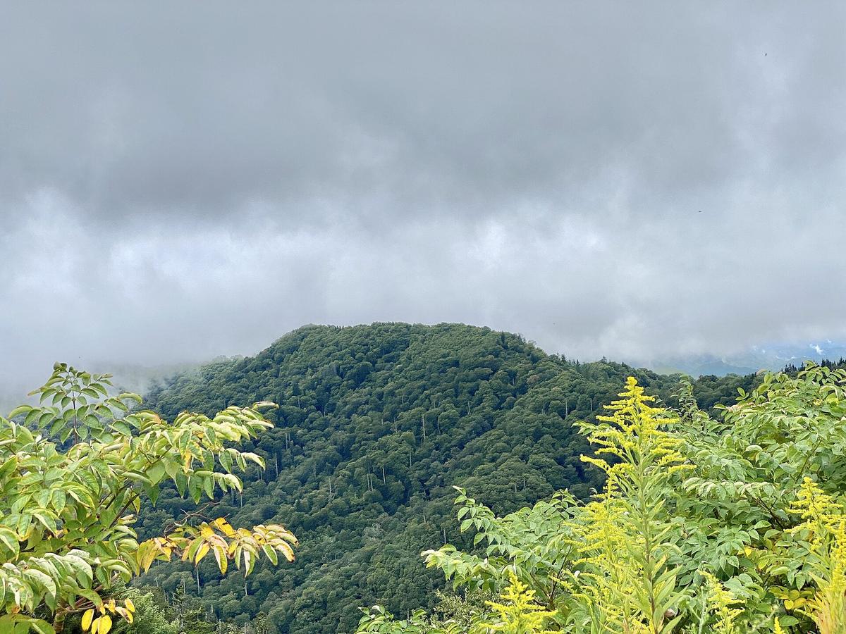
This is high terrain. The temperature difference between the trailhead at Newfound Gap and the crest of Mount LeConte or Clingmans Dome is 5 to 10 degrees cooler on the crest. But the real gap is between Gatlinburg, at roughly 1,300 feet, and Charlies Bunion at 5,565 feet. That difference can be 20 degrees. A 75 degree day in Gatlinburg is a 55 degree day with 40 mph wind gusts on the ridge. Bring a shell layer, a mid layer, a hat, and gloves. Yes, in July.
Cell service is dead on the trail. Verizon and AT&T are the least bad carriers, but all of them drop to zero once you leave the parking lot. Download offline maps before you leave Wi Fi. The AllTrails route for Charlies Bunion is reliable if you download it. A paper map is better.

What to Skip and What Not to Confuse
The Mistake That Wastes Four Miles
Do not confuse Icewater Spring with Charlies Bunion. This is the most common mistake on this hike. Hikers reach the hut at 3.0 miles, see a rock outcropping nearby, take a photo, and walk back thinking they hit the destination. The actual Charlies Bunion is 0.1 mile further, past the structure, and requires a short scramble. If you do not do that last 0.1 mile, you missed the entire point.
When to Stay Home
Do not attempt this hike in mid March through early April. That is mud season in the Smokies. Many trails close to prevent erosion, and the weather oscillates between sleet and 45 degree drizzle. The ridge is not fun in those conditions. It is dangerous.
Do not bring someone who cannot handle steep, uneven terrain. The trail is not paved. The final approach is a rock scramble. Even the scenic overlooks in this park require stairs and ungraded paths. This hike is for hikers who are comfortable with exposure and steep ground.
Common Questions
How hard is the Charlies Bunion hike from Newfound Gap?
Moderate to strenuous. The distance is 8 miles round trip with approximately 1,600 feet of cumulative gain. The final 0.1 mile is an exposed rock scramble. Most hikers take 3 to 5 hours.
When should I start the hike?
Arrive at Newfound Gap by 7:30 AM on weekends and 9:00 AM on weekdays during peak months. The parking lot fills early, and afternoon storms are common.
Do I need a permit for this hike?
No permit is required for day hiking on the Appalachian Trail inside the park. You only need a parking pass or park entrance fee. Overnight stays require backcountry permits and hut reservations.
Is Charlies Bunion the same as Icewater Spring?
No. Icewater Spring Shelter is at 3.0 miles. Charlies Bunion is 0.1 mile further past the structure. Many hikers stop at the hut and miss the actual outcrop.
What is the weather like on the ridge?
It is 5 to 10 degrees cooler than the trailhead and up to 20 degrees colder than Gatlinburg. Fog is common, especially in the morning and late afternoon. Winds are significantly higher. Pack for winter conditions regardless of the season.
Is this hike suitable for beginners?
Only if the beginner is physically fit and comfortable with exposure, steep climbs, and uneven terrain. This is not a flat nature walk. The final scramble and ridge exposure can be intimidating.
What about bears?
Black bears are present in the Smokies, and the Appalachian Trail corridor sees regular bear activity. Store all food properly and know proper bear encounter protocol before you go. That information is covered in the park's bear safety materials.
Read next
-
 Alum Cave Trail to Mount LeConte
The Alum Cave trailhead lot fills before sunrise most of the year—here is where to park legally, when the shuttle runs, and what the climb to Mount LeConte actually demands.
Alum Cave Trail to Mount LeConte
The Alum Cave trailhead lot fills before sunrise most of the year—here is where to park legally, when the shuttle runs, and what the climb to Mount LeConte actually demands.
-
 Chimney Tops Trail
The Chimney Tops Trail no longer reaches the rock pinnacles—the final scramble is closed permanently after the 2016 wildfire, and the trail ends at a lower observation deck.
Chimney Tops Trail
The Chimney Tops Trail no longer reaches the rock pinnacles—the final scramble is closed permanently after the 2016 wildfire, and the trail ends at a lower observation deck.
-
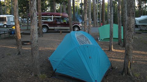 Where to Stay in the Southern Appalachians, From Backcountry Shelters to Roadside Motels
A guide to Southern Appalachian lodging: vintage Parkway motor courts, trail-town motels, cabin clusters, and backcountry shelters, with price bands and booking lead times.
Where to Stay in the Southern Appalachians, From Backcountry Shelters to Roadside Motels
A guide to Southern Appalachian lodging: vintage Parkway motor courts, trail-town motels, cabin clusters, and backcountry shelters, with price bands and booking lead times.
-
 Southern Appalachians Trail Towns Where to Base Yourself and When to Camp Instead
Match your Southern Appalachians trip to the right trail town—compare Bryson City, Brevard, Hot Springs, Dahlonega, and more by activity, lodging type, and peak-season availability.
Southern Appalachians Trail Towns Where to Base Yourself and When to Camp Instead
Match your Southern Appalachians trip to the right trail town—compare Bryson City, Brevard, Hot Springs, Dahlonega, and more by activity, lodging type, and peak-season availability.
-
 Flying Into the Southern Appalachians, Airport by Airport
Compare AVL, TYS, and CLT airports for the Southern Appalachians: drive times, rental-car costs, and why a personal vehicle is non-negotiable.
Flying Into the Southern Appalachians, Airport by Airport
Compare AVL, TYS, and CLT airports for the Southern Appalachians: drive times, rental-car costs, and why a personal vehicle is non-negotiable.
-
 Best Time to Visit the Southern Appalachians for Trails and Quiet
Season-by-season timing for the Southern Appalachians, including mud-season trail closures, October leaf-peeper gridlock, and June rhododendron blooms.
Best Time to Visit the Southern Appalachians for Trails and Quiet
Season-by-season timing for the Southern Appalachians, including mud-season trail closures, October leaf-peeper gridlock, and June rhododendron blooms.
-
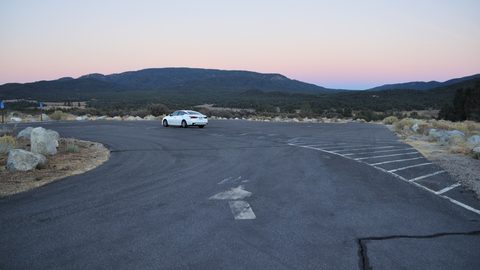 Getting Around the Southern Appalachians Without a Transit System
How to get around the Southern Appalachians when there is no transit, cell service drops, and GPS routes you onto impassable roads.
Getting Around the Southern Appalachians Without a Transit System
How to get around the Southern Appalachians when there is no transit, cell service drops, and GPS routes you onto impassable roads.
-
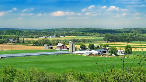 Your First Week in the Southern Appalachians Built Around Weather Not a List
-
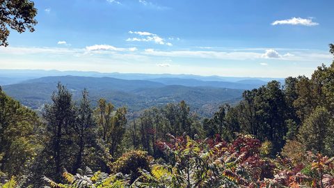 Blue Ridge and Pisgah
The Asheville and Pisgah side of the Southern Appalachians along the Blue Ridge Parkway, with waterfall loops, craft breweries, and Mount Mitchell.
Blue Ridge and Pisgah
The Asheville and Pisgah side of the Southern Appalachians along the Blue Ridge Parkway, with waterfall loops, craft breweries, and Mount Mitchell.