What Actually Hurts People in the Southern Appalachians Backcountry
Bear safety, food-storage rules, and the less-obvious backcountry hazards that actually cause trouble in the Southern Appalachians.
What Actually Hurts People in the Southern Appalachians Backcountry
Forget the bears. Drowning kills more people in Great Smoky Mountains National Park than any other backcountry cause. At least 20 river crossing fatalities were recorded there between 2000 and 2023. Water temperatures during spring snowmelt run 35 to 45 degrees Fahrenheit. In 40 degree water, hypothermia incapacitates you in 15 to 30 minutes. Even 50 degree water gives you 30 to 60 minutes at most. Air temperatures as warm as 50 degrees Fahrenheit trigger hypothermia when you are wet. The GSMNP high elevations receive over 85 inches of rain per year. Summer rain combined with wind at 50 to 60 degrees Fahrenheit is enough to put you in danger. Fewer than 5 black bear fatal attacks have occurred in the recorded history of the Southern Appalachians. The immediate threats to your safety are cold water, cold rain, and lightning. Plan for those first.
Bear Canisters, Cables, and the 100 Foot Rule
Store Food the Park Requires
Great Smoky Mountains National Park requires you to store all food, trash, toiletries, cookware, and scented items in a bear resistant canister or on a bear cable. The cable hangs 12 to 15 feet off the ground and spans 20 to 30 feet between trees. Stow everything at least 100 feet from your sleeping area and shelter. Cook 100 feet away from both. Do not leave any unattended food or scented item. The fine for improper food storage reaches $5,000 and up to 6 months in jail under 36 CFR Section 2.10(d). Feeding a bear carries the same penalty under 36 CFR Section 2.2(a)(2).
What to Do When a Bear Appears
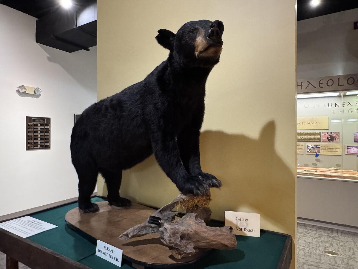
Back away slowly. Do not run. Black bears hit 30 mph and climb 100 feet of tree in under 30 seconds. You cannot outrun one. The legal minimum approach distance in GSMNP is 50 yards or 150 feet. In national forests the distance is 100 yards. If a black bear makes physical contact, fight back with any available object. Never play dead. That rule is for grizzlies. There are zero grizzly bears in the Southern Appalachians. Learn the difference in body language. A bluff charging bear has ears up, vocalizes, swats the ground, and makes false rushes. A predatory bear is silent, ears flattened, head low, stalking. Pepper spray works at 20 to 30 feet against black bears. You do not need grizzly strength spray. You do need a canister. Carry it on your belt. Buried in your pack, it is useless.

| Threat | How It Happens | Real Number | Your Move |
|---|---|---|---|
| Drowning | Crossing a stream at the wrong point; swift current, slippery rocks, cold water shock | At least 20 deaths in GSMNP since 2000 | Never cross above waist deep. Use a trekking pole for a third point of contact. Wait for water to drop after rain. |
| Hypothermia | Rain soaking clothing at 50-60°F air temp with wind | Onset in 50°F water in 30-60 min; air temp risk below 50°F when wet | Carry a dedicated rain jacket, not a pack cover. Bring a dry base layer in a dry bag. Turn back at first shivering. |
| Lightning | Afternoon storms June-August; above treeline at 5,500-6,000 ft | At least 10 lightning fatalities in GSMNP recorded history | If thunder follows lightning by fewer than 30 seconds, get below treeline. Wait 30 minutes after the last thunder. Crouch on an insulating pad with feet together. |
| Car Crash | 60 miles of two lane roads with 25 mph switchbacks, fog, and after dark driving | Drives take 2-2.5 hours, not 1 hour as GPS estimates | Budget double the GPS time. Do not drive unfamiliar mountain roads after dark. Check NPS real time road closures before leaving. |
| Lyme Disease | Blacklegged tick nymphs: poppy seed size at 1-2 mm. Active year round above 40°F, peak March-September | 10-50 confirmed cases per 100,000 per year in Southern Appalachian counties | Do a full body tick check within 36 hours of returning. Transmission requires 36-48 hours of attachment. Use permethrin treated clothing. |
| Snakebite | Copperhead freezes and relies on camouflage; bites when stepped on. Timber rattlesnake does not always rattle first. | Fewer than 5 reported per year in GSMNP; fewer than 1 fatality per year in US from either species | Watch where you place hands and feet. Step onto logs, not over them. Give a rattlesnake at least 6 feet of space. |
Fog, Forest Service Roads, and Gas Station Deserts
Roads That Defeat GPS
The Blue Ridge Parkway closes for ice and fog without warning. Check the NPS real time road closure map every morning. Keep a non parkway alternate route in your notes. The Parkway speed limit is 45 mph. In fog you will do 15. Accept that. GPS apps routinely route drivers onto unpaved Forest Service roads impassable in a sedan. Set your navigation to paved roads only. Carry a paper DeLorme Gazetteer. Cell service drops to zero in most backcountry areas and at most trailheads. Verizon and AT&T have the least bad coverage. T Mobile is nearly useless outside town limits. Download offline Google Maps and AllTrails layers before you leave WiFi. Emergency dispatch for GSMNP is 865-436-1230. Less than 20 percent of trail miles in GSMNP have reliable cell signal. Satellite messenger devices work and require no permit. Personal locator beacons use 406 MHz. Search and rescue in GSMNP costs you nothing. In North Carolina and Tennessee national forests you are not charged either. Average response time from call to team deployment runs 2 to 4 hours.
Fuel and the Dry County Trap
Gas stations sit 40 miles apart on the Parkway and between small towns. Fill up at half a tank. The craft brewery you drove to might only sell beer to go because of dry county and blue law patchwork. Some counties are fully dry. Others prohibit Sunday alcohol sales before noon. Do not assume you can buy beer at the gas station in Hot Springs or Bryson City on a Sunday morning. Bear jams block traffic for 30 minutes when a bear is spotted. Rangers issue tickets for stopping in travel lanes, but enforcement is thin. Add that delay to your drive time estimate.

Who This Backcountry is for and Who Should Stay Out
Go If This Sounds Like You
This terrain suits hikers and backpackers who want serious elevation gain, motorcyclists and sports car drivers who chase technical roads, folk craft and traditional music pilgrims, leaf peepers willing to earn their views, and small town main street wanderers who dislike resort scenes.
Stay Home If It Does Not
This is a poor fit for people seeking luxury spas, fine dining, or nightlife. It is a wet county patchwork where dinner ends by 8:30 p.m. and the hot tub is a motel indoor pool. It also does not suit anyone with mobility limitations who cannot handle steep, uneven terrain. Even scenic overlooks require stairs and ungraded paths. Budget 5 days minimum. Less than that and you spend all your time in the car connecting dots without feeling the rhythm. October second and third weeks peak for leaf peeping with the worst crowding on the Blue Ridge Parkway and in Boone and Gatlinburg. Avoid mid March through early April for mud season trail closures and 45 degree drizzle. Also avoid the week of July 4 if you want solitude: every pull off and campground fills by Thursday.
The single thing that most often goes wrong: visitors see a 60 mile distance, budget an hour, and on two lane mountain roads with 25 mph switchbacks, pull offs, and fog that same distance takes 2 to 2.5 hours. Doing it after dark is genuinely dangerous.
Frequently Asked Questions
How fast can a black bear run, and how close is too close?
Reaching up to 30 mph. They can climb 100 feet of tree in under 30 seconds. Give them 50 yards minimum distance. Back away slowly. Do not run.
What is the most likely way to die in the Southern Appalachian backcountry?
In GSMNP death from drowning is the leading backcountry cause. At least 20 river fatalities occurred from 2000 to 2023. Hypothermia and lightning kill more than bears do.
My GPS is sending me down a gravel road. Should I proceed?
Set your navigation to paved roads only. Carry a paper DeLorme Gazetteer. If you end up on gravel with no turnaround, stop immediately and assess. Driving a sedan on that terrain can damage the undercarriage and strand you miles from help.
How far between gas stations in the Southern Appalachians?
Forty to sixty miles on the Parkway and between small towns. Fill up at half a tank. Do not wait for the quarter tank warning. The next station may be closed or only take cash.
Read next
-
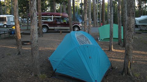
 Where to Stay in the Southern Appalachians, From Backcountry Shelters to Roadside Motels
A guide to Southern Appalachian lodging: vintage Parkway motor courts, trail-town motels, cabin clusters, and backcountry shelters, with price bands and booking lead times.
Where to Stay in the Southern Appalachians, From Backcountry Shelters to Roadside Motels
A guide to Southern Appalachian lodging: vintage Parkway motor courts, trail-town motels, cabin clusters, and backcountry shelters, with price bands and booking lead times.
-
 Southern Appalachians Trail Towns Where to Base Yourself and When to Camp Instead
Match your Southern Appalachians trip to the right trail town—compare Bryson City, Brevard, Hot Springs, Dahlonega, and more by activity, lodging type, and peak-season availability.
Southern Appalachians Trail Towns Where to Base Yourself and When to Camp Instead
Match your Southern Appalachians trip to the right trail town—compare Bryson City, Brevard, Hot Springs, Dahlonega, and more by activity, lodging type, and peak-season availability.
-
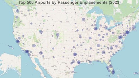 Flying Into the Southern Appalachians, Airport by Airport
Compare AVL, TYS, and CLT airports for the Southern Appalachians: drive times, rental-car costs, and why a personal vehicle is non-negotiable.
Flying Into the Southern Appalachians, Airport by Airport
Compare AVL, TYS, and CLT airports for the Southern Appalachians: drive times, rental-car costs, and why a personal vehicle is non-negotiable.
-
 Best Time to Visit the Southern Appalachians for Trails and Quiet
Season-by-season timing for the Southern Appalachians, including mud-season trail closures, October leaf-peeper gridlock, and June rhododendron blooms.
Best Time to Visit the Southern Appalachians for Trails and Quiet
Season-by-season timing for the Southern Appalachians, including mud-season trail closures, October leaf-peeper gridlock, and June rhododendron blooms.
-
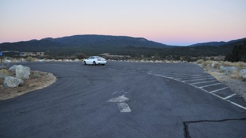 Getting Around the Southern Appalachians Without a Transit System
How to get around the Southern Appalachians when there is no transit, cell service drops, and GPS routes you onto impassable roads.
Getting Around the Southern Appalachians Without a Transit System
How to get around the Southern Appalachians when there is no transit, cell service drops, and GPS routes you onto impassable roads.
-
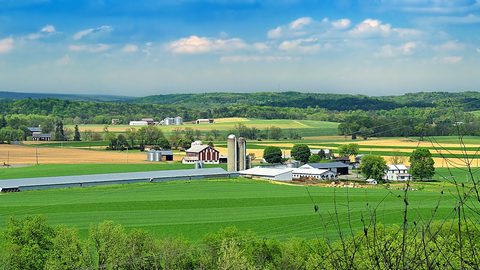 Your First Week in the Southern Appalachians Built Around Weather Not a List
-
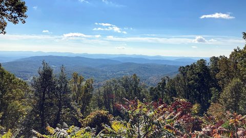 Blue Ridge and Pisgah
The Asheville and Pisgah side of the Southern Appalachians along the Blue Ridge Parkway, with waterfall loops, craft breweries, and Mount Mitchell.
Blue Ridge and Pisgah
The Asheville and Pisgah side of the Southern Appalachians along the Blue Ridge Parkway, with waterfall loops, craft breweries, and Mount Mitchell.
-
 Great Smoky Mountains
A Great Smoky Mountains guide focused on quiet gateways like Bryson City and Townsend, dawn wildlife viewing at Cades Cove, and avoiding Gatlinburg crowds.
Great Smoky Mountains
A Great Smoky Mountains guide focused on quiet gateways like Bryson City and Townsend, dawn wildlife viewing at Cades Cove, and avoiding Gatlinburg crowds.
-
 North Georgia
's quiet end of the Southern Appalachians, from Springer Mountain's AT start to Dahlonega's wine trail and Tallulah Gorge's permitted floor.
North Georgia
North Georgia's quiet end of the Southern Appalachians, from Springer Mountain's AT start to Dahlonega's wine trail and Tallulah Gorge's permitted floor.