Southern Appalachian Hiking After Heavy Rain Trail and River Risks
A practical guide to Southern Appalachian Hiking After Heavy Rain Trail and River Risks.
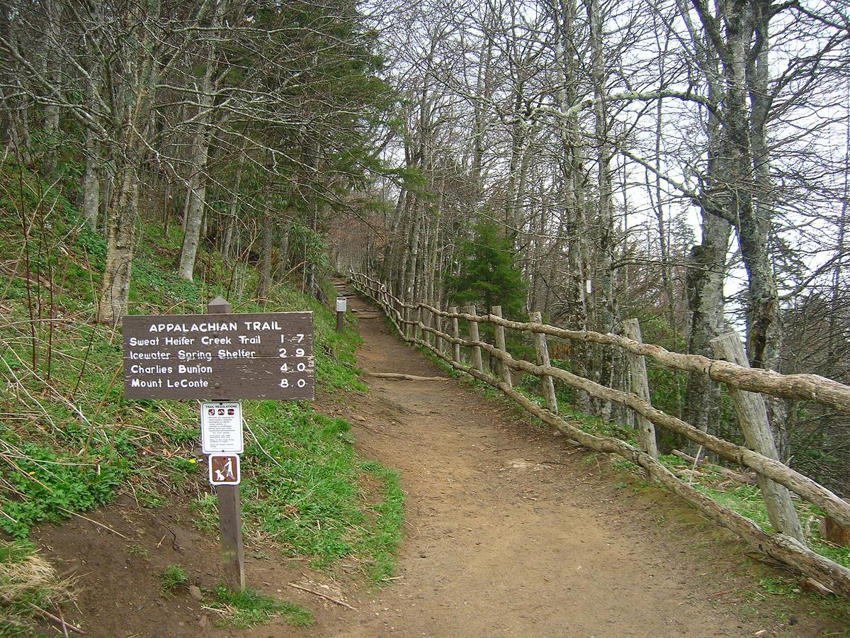

Why Rain Transforms Familiar Trails
A steady rain on a southern Appalachian trail does more than make the ground slick. It rewrites the landscape. Streams that were ankle-deep stepping stones become opaque, muscular currents. The same route you hiked dry last October can turn into a series of urgent decisions about whether to continue, wait, or retreat. The National Park Service warns that drowning is one of the leading causes of death in Great Smoky Mountains National Park, and water recreation is not recommended anywhere in the park. That caution extends to hikers who never planned to get wet but find their path blocked by a crossing that was dry that morning.
The danger is not always visible from where you stand. A localized thunderstorm dumping rain on the park's highest peaks can create sudden flood conditions at lower elevations where no rain has fallen. You might be walking under clear skies while runoff from a cloudburst miles away is already charging down the watershed toward you. This disconnect between what you see overhead and what is building underfoot is one of the most deceptive seasonal hazards in the southern Appalachians.
Reading the Water Before You Step In
Not every swollen stream is a hard no, but many are. The Appalachian Trail Conservancy identifies specific thresholds that make a ford too dangerous. Do not attempt a crossing when the water is flowing faster than you can walk, when depth exceeds thigh height, or when the river is in flood stage, meaning it looks muddy, churning, and carries debris. Another unmistakable warning is the sound of rocks being moved underwater, a low, percussive grinding that tells you the current has enough power to roll stones you would struggle to lift. Hazards downstream such as rapids or waterfalls remove any margin for error. A slip that would be embarrassing in calm water becomes unrecoverable when the current is sweeping toward a drop.
The National Weather Service adds a stark metric: six inches of fast-moving water can knock a person off their feet. That is barely above the ankle. Flash floods in hilly terrain can strike with little or no advance warning, turning a quiet stream into a rampaging torrent in minutes. If you arrive at a crossing and any of these conditions are present, the safest choice is the one the National Park Service advises: do not wade in or attempt to cross. Turn back or wait for the stream to recede. The water will drop. Your schedule can flex.
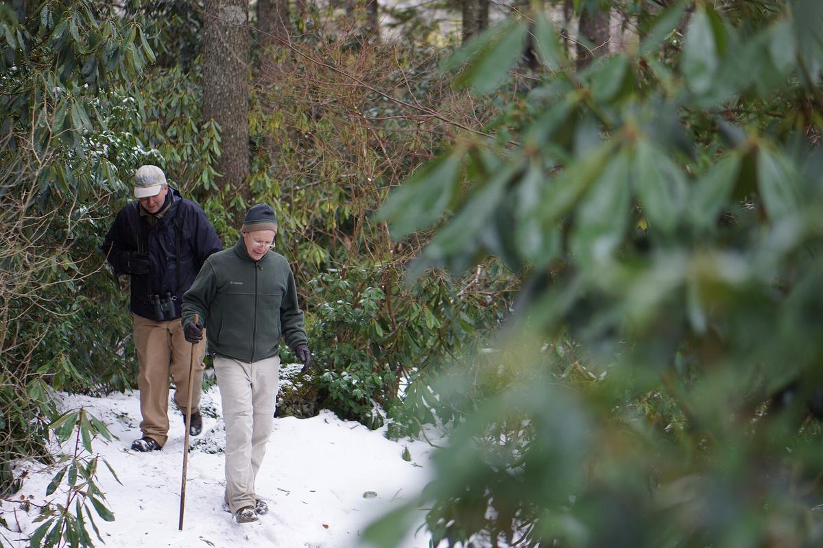

How to Cross When Conditions Allow
If you have assessed the stream and determined it is within safe limits, your preparation still matters. The National Park Service recommends wearing shoes for protection rather than crossing barefoot. Carry a sturdy stick for balance and use it as a third point of contact, probing ahead for submerged obstacles. Before you step in, loosen the waist strap of your pack. This is a small action with an outsized consequence: if you are swept off your feet, a loose waist strap lets you shed the pack quickly instead of being pinned underwater by its weight.
Cross facing upstream, shuffling sideways with the stick planted on the upstream side. Move one foot at a time and keep your eyes on the far bank, not on the water rushing past your legs. The Appalachian Trail Conservancy states plainly that river and stream crossings are one of the most dangerous challenges on the A.T. and that hikers have died in stream crossings during major rainstorms. Even experienced hikers misjudge current strength. When in doubt, the water gets the vote.
Where You Sleep Matters as Much as Where You Walk
Heavy rain reshapes the risks at camp as well as on the trail. The National Weather Service advises never to camp on low ground next to streams, because a flash flood can catch you while you are asleep. The same terrain that feels like a soft, level bed of sand in dry weather is a flood channel waiting for a storm. If you notice even a slight rise in water level, the guidance is to immediately seek higher ground. Do not wait to see if it stabilizes. Do not pack first. Move.
This advice applies even when the rain has stopped. In the southern Appalachians, the lag between rainfall and runoff can be hours, especially in watersheds with steep, rocky headwalls that shed water quickly into narrow valleys. A stream that was a gentle trickle when you pitched your tent can become a waist-deep torrent while you are still in your sleeping bag. The seasonal pattern of afternoon thunderstorms from late spring through early autumn makes this a recurring concern, not a rare edge case.
The Long Shadow of Hurricane Helene
Hurricane Helene struck the southern Appalachians in September 2024 and left damage that will influence trail conditions for years. The Appalachian Trail Conservancy reported catastrophic damage across more than 800 miles of the A.T., with 430 miles initially closed. As of October 2026, nearly all sections have reopened, but residual hazards persist. Unstable standing dead trees, root-ball craters where massive hardwoods were torn from the ground, and severe erosion have altered the character of many familiar paths.
In Great Smoky Mountains National Park, specific trails remain directly affected. The Boogerman Trail is not advised due to a deep water crossing where a 55-foot foot log was washed away. Caldwell Fork Trail is closed beyond 0.8 miles because the trail surface itself was washed out and water crossings are unsafe. Gunter Fork Trail is fully closed due to significant damage and unsafe crossings. These are not seasonal closures waiting for a dry spell. They are structural changes that require extensive rehabilitation.
The USDA Forest Service reports that even in reopened areas of Pisgah National Forest, visitors should anticipate unknown underwater hazards in waterways, downed trees across trails, and erosion that may make creek and river areas hard to follow. A crossing you remember as straightforward may now hide submerged root balls, undercut banks, or deep scour holes that did not exist before the storm.
Building a Pre-Hike Safety Check
Before any hike in the southern Appalachians after heavy rain, three sources of real-time information should shape your decision. First, check flash flood watches, warnings, and hazardous weather outlooks from the National Weather Service for the county warning area that covers your route. Second, consult the USGS real-time water gauges on the Little River near Townsend, Tennessee and Cataloochee Creek near Cataloochee, North Carolina. The National Park Service directs hikers to these gauges for current river levels and flow before backcountry trips. A rising hydrograph on a gauge upstream of your planned crossing is actionable intelligence. Third, verify current trail closures and cautions through the National Park Service for Great Smoky Mountains National Park and the Appalachian Trail Conservancy for A.T. sections between Davenport Gap and Pearisburg, Virginia.
This check takes minutes and can be done from a phone before you lose signal at the trailhead. The information it provides is more current than any guidebook or trip report. Conditions that were manageable yesterday may be impossible today. The responsible authorities for these checks are the National Weather Service, the United States Geological Survey, the National Park Service, and the Appalachian Trail Conservancy. Their updates reflect what is happening now, not what was true last season.
Sources and verification
- nps.gov — Research source checked for this guide
- nps.gov — Research source checked for this guide
- appalachiantrail.org — Research source checked for this guide
- weather.gov — Research source checked for this guide
- appalachiantrail.org — Research source checked for this guide
- nps.gov — Research source checked for this guide
Read next
-
 Where to Stay in the Southern Appalachians, From Backcountry Shelters to Roadside Motels
A guide to Southern Appalachian lodging: vintage Parkway motor courts, trail-town motels, cabin clusters, and backcountry shelters, with price bands and booking lead times.
-
 Southern Appalachians Trail Towns Where to Base Yourself and When to Camp Instead
Match your Southern Appalachians trip to the right trail town—compare Bryson City, Brevard, Hot Springs, Dahlonega, and more by activity, lodging type, and peak-season availability.
-
 Flying Into the Southern Appalachians, Airport by Airport
Compare AVL, TYS, and CLT airports for the Southern Appalachians: drive times, rental-car costs, and why a personal vehicle is non-negotiable.
-
 Best Time to Visit the Southern Appalachians for Trails and Quiet
Season-by-season timing for the Southern Appalachians, including mud-season trail closures, October leaf-peeper gridlock, and June rhododendron blooms.
-
 Getting Around the Southern Appalachians Without a Transit System
How to get around the Southern Appalachians when there is no transit, cell service drops, and GPS routes you onto impassable roads.
-
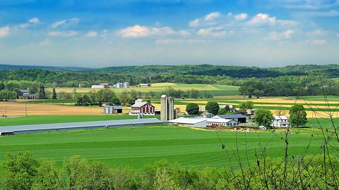 Your First Week in the Southern Appalachians Built Around Weather Not a List
-
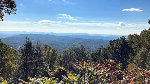 Blue Ridge and Pisgah
The Asheville and Pisgah side of the Southern Appalachians along the Blue Ridge Parkway, with waterfall loops, craft breweries, and Mount Mitchell.
-
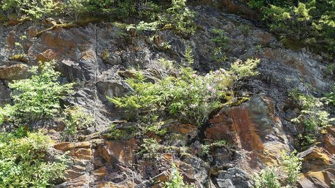 Great Smoky Mountains
A Great Smoky Mountains guide focused on quiet gateways like Bryson City and Townsend, dawn wildlife viewing at Cades Cove, and avoiding Gatlinburg crowds.
-
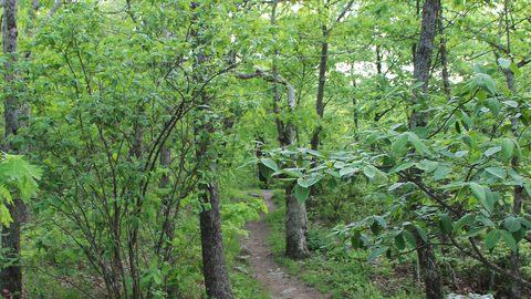 North Georgia
's quiet end of the Southern Appalachians, from Springer Mountain's AT start to Dahlonega's wine trail and Tallulah Gorge's permitted floor.